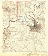
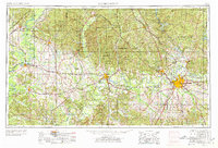
1953 Map of Montgomery
USGS Topo · Published 1964This historical map portrays the area of Montgomery in 1953, primarily covering Montgomery as well as portions of Chilton County, Hale County, Tallapoosa County, Dallas County, Crenshaw County, Choctaw County, Sumter County, Wilcox County, Coosa County, Lowndes County, Perry County, Greene County, Elmore County, Bibb County, Macon County, Marengo County, and Autauga County. Featuring a scale of 1:250000, this map provides a highly detailed snapshot of the terrain, roads, buildings, counties, and historical landmarks in the Montgomery region at the time. Published in 1964, it is one of 4 known editions of this map due to revisions or reprints.
Find a feature on this map
88 named features on this map. Tap any name to fly to it.
Don’t see what you’re looking for? This feature index may not catch every label — zoom into the map to look around manually.
Map Details
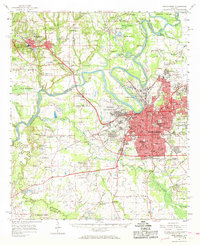
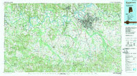
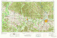
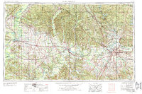
Editions of this 1953 Montgomery Map
4 editions found
Historical Maps of Naftel Through Time
7 maps found