
1951 Map of Moores Hollow
USGS Topo · Published 1952About this map
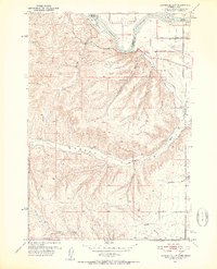
The Snake River defines the northern boundary of this 1951 landscape, serving as the state line between Idaho and Oregon where Westlake Island and McRea Island sit amidst the current. South of the river, the terrain of Malheur County transitions from the level agricultural expanse of Weiser Flat into a complex network of arid draws and ridges. A distinct irrigation system is visible on this sheet, including the Owyhee Canal and Upper Ditch, which redirect water into the valley. The presence of several Windmills and named water sources like Wickup Springs and King Spr underscores the vital role of water management in this ranching country. Local transportation is represented by a grid of rural routes including Annex Road and Elm Road, alongside the diagonal track of a Pipe Line cutting through Moores Hollow.
Find a feature on this map
27 named features on this map. Tap any name to fly to it.
Don’t see what you’re looking for? This feature index may not catch every label — zoom into the map to look around manually.
Map Details
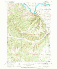
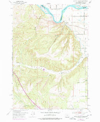
Editions of this 1951 Moores Hollow Map
4 editions found
Other maps of this area

1897 · Weiser
USGS Topo · 1:125,000

1951 · Malheur Butte
USGS Topo · 1:24,000

1951 · Moores Hollow
USGS Topo · 1:62,500

1951 · Payette
USGS Topo · 1:24,000

1951 · Weiser South
USGS Topo · 1:24,000

1952 · Olds Ferry
USGS Topo · 1:24,000

1952 · Olds Ferry
USGS Topo · 1:62,500

1952 · Olds Ferry SE
USGS Topo · 1:24,000

1953 · Mann Creek
USGS Topo · 1:62,500

1955 · Baker
USGS Topo · 1:250,000