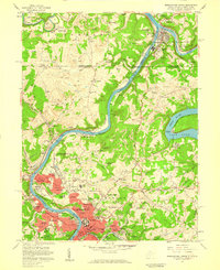
1957 Map of Morgantown North
USGS Topo · Published 1959About this map
Morgantown and its northern surroundings are defined by the convergence of industrial and academic expansion in the late 1950s. The northern edge of the city is dominated by West Virginia University and its specialized facilities, including the WVU Horticultural Farm and WVU Animal Husbandry Farm, while the U S Bureau of Mines Appalachian Experiment Station underscores the region's historical ties to natural resources. The Monongahela River and Cheat River serve as primary corridors, with the Baltimore and Ohio railroad following the riverbanks to support commerce in towns like Star City and Point Marion. Extensive Strip Mines are mapped throughout the northern hills, illustrating the extractive economy existing alongside residential growth in The Flatts and Evansdale. This survey provides a record of the landscape before the intensive urbanization of later decades, documenting numerous rural cemeteries and schools such as Fort Martin Sch.
Find a feature on this map
96 named features on this map. Tap any name to fly to it.
Don’t see what you’re looking for? This feature index may not catch every label — zoom into the map to look around manually.
Map Details
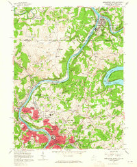
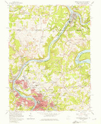
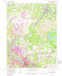
Editions of this 1957 Morgantown North Map
4 editions found
Other maps of this area

1900 · Masontown
USGS Topo · 1:62,500

1901 · Waynesburg
USGS Topo · 1:62,500

1902 · Morgantown
USGS Topo · 1:62,500

1903 · Masontown
USGS Topo · 1:62,500

1904 · Blacksville
USGS Topo · 1:62,500

1904 · Waynesburg
USGS Topo · 1:62,500

1923 · Blacksville
USGS Topo · 1:62,500

1925 · Blacksville
USGS Topo · 1:62,500

1925 · Morgantown
USGS Topo · 1:62,500

1931 · Masontown
USGS Topo · 1:62,500