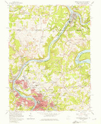
1957 Map of Morgantown North
USGS Topo · Published 1974About this map
The Monongahela River and Cheat River define the industrial and academic landscape of this northern West Virginia and southern Pennsylvania borderland. During the late 1950s, Morgantown serves as a major hub for both education and industry, home to the West Virginia University campus and a burgeoning medical center. The hills surrounding the river valleys are marked by extensive strip mines, connected by a network of pipelines and an aerial conveyor near Bertha Hill.
Find a feature on this map
106 named features on this map. Tap any name to fly to it.
Don’t see what you’re looking for? This feature index may not catch every label — zoom into the map to look around manually.
Map Details
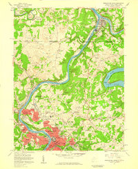
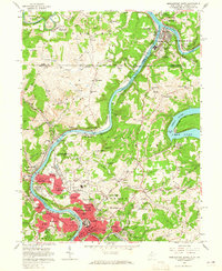
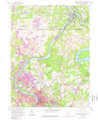
Editions of this 1957 Morgantown North Map
4 editions found
Other maps of this area

1900 · Masontown
USGS Topo · 1:62,500

1901 · Waynesburg
USGS Topo · 1:62,500

1902 · Morgantown
USGS Topo · 1:62,500

1903 · Masontown
USGS Topo · 1:62,500

1904 · Blacksville
USGS Topo · 1:62,500

1904 · Waynesburg
USGS Topo · 1:62,500

1923 · Blacksville
USGS Topo · 1:62,500

1925 · Blacksville
USGS Topo · 1:62,500

1925 · Morgantown
USGS Topo · 1:62,500

1931 · Masontown
USGS Topo · 1:62,500