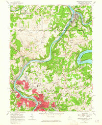
1957 Map of Morgantown North
USGS Topo · Published 1965About this map
The Monongahela River carves a deep valley through the coal and clay country of northern West Virginia and southern Pennsylvania, defining the industrial and academic growth of Morgantown in the late 1950s. The northern reaches of the city are prominently featured, including the sprawling grounds of West Virginia University and the U S Bureau of Mines Appalachian Experiment Station. To the north, the historic Mason and Dixon Line serves as the political boundary between Monongalia and Greene counties, where the river meets the Cheat River at Point Marion. Extensive strip mines scar the ridges around Stewartstown and Maidsville, while the Baltimore and Ohio railroad follows the riverbanks to serve the region's extractive economy. Suburban developments like Suncrest, Evansdale, and The Mileground reflect the mid-century expansion of the university community near the Morgantown Municipal Airport.
Find a feature on this map
96 named features on this map. Tap any name to fly to it.
Don’t see what you’re looking for? This feature index may not catch every label — zoom into the map to look around manually.
Map Details
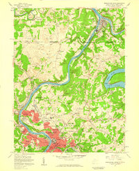
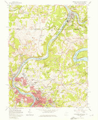
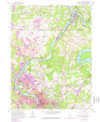
Editions of this 1957 Morgantown North Map
4 editions found
Other maps of this area

1900 · Masontown
USGS Topo · 1:62,500

1901 · Waynesburg
USGS Topo · 1:62,500

1902 · Morgantown
USGS Topo · 1:62,500

1903 · Masontown
USGS Topo · 1:62,500

1904 · Blacksville
USGS Topo · 1:62,500

1904 · Waynesburg
USGS Topo · 1:62,500

1923 · Blacksville
USGS Topo · 1:62,500

1925 · Blacksville
USGS Topo · 1:62,500

1925 · Morgantown
USGS Topo · 1:62,500

1931 · Masontown
USGS Topo · 1:62,500