
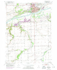
1953 Map of Morris
USGS Topo · Published 1955About this map
Morris serves as the focal point of this Grundy County landscape, where the Michigan and Illinois Canal and the Illinois River parallel the tracks of the Chicago Rock Island and Pacific railroad. This transportation corridor was the lifeblood of the region's early industrial and agricultural growth. To the north, a Strip Mine and various Gravel Pits indicate the area's extractive economy, while the presence of the County Home and several rural schoolhouses like Hume Sch and Gorham Sch illustrate the organized social fabric of the mid-century. The terrain is marked by the complex drainage of the Mazon River and Waupecan Creek, creating a landscape that shifts from the civic density of the city to the quiet reaches of Gebhard State Park and Sugar Island.
Find a feature on this map
55 named features on this map. Tap any name to fly to it.
Don’t see what you’re looking for? This feature index may not catch every label — zoom into the map to look around manually.
Map Details
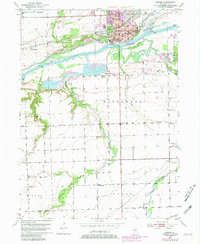
Editions of this 1953 Morris Map
3 editions found
Other maps of this area

1892 · Morris
USGS Topo · 1:62,500

1892 · Marseilles
USGS Topo · 1:62,500

1916 · Marseilles
USGS Topo · 1:62,500

1918 · Morris
USGS Topo · 1:62,500

1940 · Marseilles
USGS Topo · 1:62,500

1948 · Dwight
USGS Topo · 1:62,500

1950 · Dwight
USGS Topo · 1:62,500

1953 · Lisbon
USGS Topo · 1:24,000

1953 · Coal City
USGS Topo · 1:24,000
1954 · Minooka
USGS Topo · 1:24,000