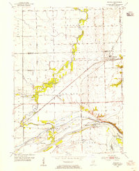
1954 Map of Minooka
USGS Topo · Published 1955About this map
Minooka serves as the primary rail hub on this mid-century survey, situated where the Chicago Rock Island And Pacific RR crosses the Elgin Joliet And Eastern RR. The landscape to the south is defined by the confluence of the Kankakee River, Des Plaines River, and Illinois River, a critical junction for industrial waterway transit. Engineering of the era is evident at the Dresden Island Lock and Dam and the Aux Sable Lock along the canal. Local life is documented through scattered landmarks such as St Marys Cem and Dresden Heights Sch. The presence of a Strip Mine and Gravel Pit near Saratoga reflects the region's extraction activities, while features like Nigger Slough and Sand Ridge illustrate the original character of the river valley before further industrialization.
Find a feature on this map
41 named features on this map. Tap any name to fly to it.
Don’t see what you’re looking for? This feature index may not catch every label — zoom into the map to look around manually.
Map Details
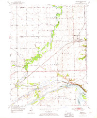
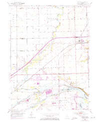
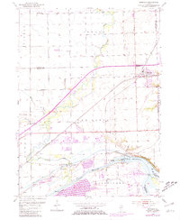
Editions of this 1954 Minooka Map
4 editions found
Other maps of this area

1892 · Morris
USGS Topo · 1:62,500

1892 · Joliet
USGS Topo · 1:62,500

1892 · Wilmington
USGS Topo · 1:62,500

1918 · Wilmington
USGS Topo · 1:62,500

1918 · Morris
USGS Topo · 1:62,500

1923 · Joliet
USGS Topo · 1:62,500

1925 · Yorkville
USGS Topo · 1:62,500

1953 · Morris
USGS Topo · 1:24,000

1953 · Plattville
USGS Topo · 1:24,000

1953 · Lisbon
USGS Topo · 1:24,000