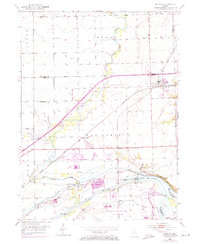
1954 Map of Minooka
USGS Topo · Published 1974About this map
The confluence of the Illinois River, Kankakee River, and Dresden Run serves as the industrial and navigational hub for this region southwest of Joliet. Massive civil engineering projects are evident at the Dresden Island Lock and Dam, while the historic route of the Michigan and Illinois Canal traces the northern bank of the Illinois. The village of Minooka sits at the junction of major rail lines, including the Chicago Rock Island and Pacific RR and the Elgin Joliet and Eastern RR, illustrating its role as a transportation crossroads.
Find a feature on this map
37 named features on this map. Tap any name to fly to it.
Don’t see what you’re looking for? This feature index may not catch every label — zoom into the map to look around manually.
Map Details
Editions of this 1954 Minooka Map
4 editions found
Other maps of this area

1892 · Morris
USGS Topo · 1:62,500

1892 · Joliet
USGS Topo · 1:62,500

1892 · Wilmington
USGS Topo · 1:62,500

1918 · Wilmington
USGS Topo · 1:62,500

1918 · Morris
USGS Topo · 1:62,500

1923 · Joliet
USGS Topo · 1:62,500

1925 · Yorkville
USGS Topo · 1:62,500

1953 · Morris
USGS Topo · 1:24,000

1953 · Plattville
USGS Topo · 1:24,000

1953 · Lisbon
USGS Topo · 1:24,000