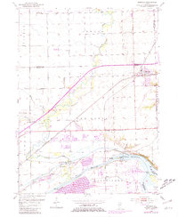
1954 Map of Minooka
USGS Topo · Published 1981About this map
The confluence of the Illinois River, Kankakee River, and Des Plaines River creates a complex hydraulic landscape where industrial infrastructure meets conserved prairie. The legacy of the Illinois and Michigan Canal remains a prominent feature, running parallel to the larger river system and passing through the settlement of Aux Sable. To the south, Goose Lake Prairie State Park preserves a portion of the tallgrass prairie that once dominated this region, while the Dresden Island Lock and Dam facilitates modern navigation at the river junction.
Find a feature on this map
46 named features on this map. Tap any name to fly to it.
Don’t see what you’re looking for? This feature index may not catch every label — zoom into the map to look around manually.
Map Details
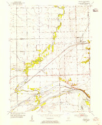
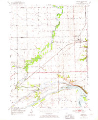
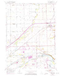
Editions of this 1954 Minooka Map
4 editions found
Other maps of this area

1892 · Morris
USGS Topo · 1:62,500

1892 · Joliet
USGS Topo · 1:62,500

1892 · Wilmington
USGS Topo · 1:62,500

1918 · Wilmington
USGS Topo · 1:62,500

1918 · Morris
USGS Topo · 1:62,500

1923 · Joliet
USGS Topo · 1:62,500

1925 · Yorkville
USGS Topo · 1:62,500

1953 · Morris
USGS Topo · 1:24,000

1953 · Plattville
USGS Topo · 1:24,000

1953 · Lisbon
USGS Topo · 1:24,000