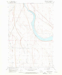
1956 Map of Moses Lake NW
USGS Topo · Published 1976About this map
Moses Lake defines the central character of this 1950s landscape, its waters reaching deep into the Columbia Basin before the full impact of mid-century irrigation reached this specific northwest quadrant. The map records a significant moment of transition for Grant County, documented by the USBR during a period of massive infrastructure expansion. A prominent Canal Under Construction cuts through the western sections, part of the broader effort to transform the arid shrub-steppe into productive agricultural land. Below the plateau, the distinct geographies of Hiawatha Valley and Mae Valley frame the lowlands, while Rocky Ford Cr feeds into the northern reaches of the lake. Local landmarks like White Trail Road and various wells illustrate the early stages of settlement and water management in this high-desert environment.
Find a feature on this map
15 named features on this map. Tap any name to fly to it.
Don’t see what you’re looking for? This feature index may not catch every label — zoom into the map to look around manually.
Map Details
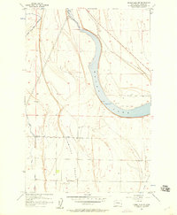
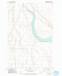
Editions of this 1956 Moses Lake NW Map
3 editions found
Other maps of this area

1910 · Winchester
USGS Topo · 1:62,500

1912 · Moses Lake
USGS Topo · 1:62,500

1953 · Ritzville
USGS Topo · 1:250,000

1956 · Ephrata
USGS Topo · 1:62,500

1956 · Moses Lake South
USGS Topo · 1:24,000

1956 · Ephrata
USGS Topo · 1:24,000

1956 · Grant Orchards
USGS Topo · 1:24,000

1956 · Moses Lake North
USGS Topo · 1:24,000

1956 · Gloyd
USGS Topo · 1:24,000

1956 · Mae
USGS Topo · 1:24,000