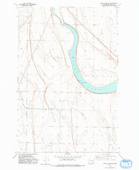
1956 Map of Moses Lake NW
USGS Topo · Published 1993About this map
Moses Lake dominates the central landscape of this 1956 field-checked survey, captured during a period of significant hydraulic engineering in central Washington. The northern reach of the lake is fed by Rocky Ford Creek, while the surrounding terrain is defined by the broad depressions of Hiawatha Valley and Mae Valley. A notable insight into the era's development is the presence of a canal under construction in the northwest, part of the Bureau of Reclamation's irrigation efforts to transform the arid shrub-steppe into productive farmland.
Find a feature on this map
16 named features on this map. Tap any name to fly to it.
Don’t see what you’re looking for? This feature index may not catch every label — zoom into the map to look around manually.
Map Details
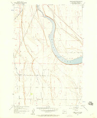
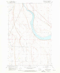
Editions of this 1956 Moses Lake NW Map
3 editions found
Other maps of this area

1910 · Winchester
USGS Topo · 1:62,500

1912 · Moses Lake
USGS Topo · 1:62,500

1953 · Ritzville
USGS Topo · 1:250,000

1956 · Ephrata
USGS Topo · 1:62,500

1956 · Moses Lake South
USGS Topo · 1:24,000

1956 · Ephrata
USGS Topo · 1:24,000

1956 · Grant Orchards
USGS Topo · 1:24,000

1956 · Moses Lake North
USGS Topo · 1:24,000

1956 · Gloyd
USGS Topo · 1:24,000

1956 · Mae
USGS Topo · 1:24,000