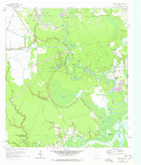
1961 Map of Moss Bluff
USGS Topo · Published 1977About this map
The Trinity River winds through a complex landscape of wetlands and industrial infrastructure in this detailed survey of Liberty County. The northern reaches of the map are dominated by the South Liberty Oil Field and the Raymond Oil Field, where numerous oil wells, sumps, and intricate pipelines mark the mid-century energy economy. These industrial sites sit in stark contrast to the serpentine river bends below, such as Negro Bend, Dead Ray Bend, and Demijohn Bend, which have created a series of oxbow lakes including Gordon Lake and Demijohn Lake.
Find a feature on this map
53 named features on this map. Tap any name to fly to it.
Don’t see what you’re looking for? This feature index may not catch every label — zoom into the map to look around manually.
Map Details
Editions of this 1961 Moss Bluff Map
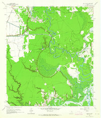
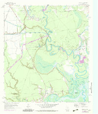
Other maps of this area

1916 · Cedar Bayou
USGS Topo · 1:24,000

1919 · Cedar Bayou
USGS Topo · 1:31,680

1942 · Anahuac
USGS Topo · 1:24,000

1943 · Liberty
USGS Topo · 1:125,000

1943 · Cedar Bayou
USGS Topo · 1:24,000

1950 · Houston
USGS Topo · 1:250,000

1954 · Beaumont
USGS Topo · 1:250,000

1955 · Daisetta
USGS Topo · 1:62,500

1955 · Liberty
USGS Topo · 1:62,500

1956 · Houston
USGS Topo · 1:250,000