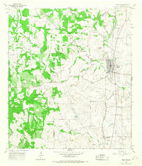
1965 Map of Moulton
USGS Topo · Published 1968About this map
Moulton and its predecessor, Old Moulton, anchor this mid-1960s survey of the South Texas countryside near the border of Gonzales and Lavaca counties. The landscape is defined by the headwaters of the Lavaca River, where the West Prong and Kuehne Creek converge near the town center. Local heritage is preserved in several rural burial grounds, including the Slavonic and Burkett cemeteries, which reflect the area's diverse settlement history.
Find a feature on this map
31 named features on this map. Tap any name to fly to it.
Don’t see what you’re looking for? This feature index may not catch every label — zoom into the map to look around manually.
Map Details
Editions of this 1965 Moulton Map
2 editions found
Other maps of this area

1901 · Flatonia
USGS Topo · 1:125,000

1953 · Seguin
USGS Topo · 1:250,000

1958 · Seguin
USGS Topo · 1:250,000

1959 · Hamon
USGS Topo · 1:24,000

1962 · Dilworth
USGS Topo · 1:24,000

1964 · Waelder
USGS Topo · 1:24,000

1965 · Wied
USGS Topo · 1:24,000

1965 · Komensky
USGS Topo · 1:24,000

1965 · Flatonia
USGS Topo · 1:24,000
1965 · Flatonia NW
USGS Topo · 1:24,000