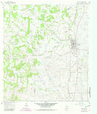
1965 Map of Moulton
USGS Topo · Published 1982About this map
The town of Moulton serves as the focal point of this Central Texas landscape, situated where the Southern Pacific railroad meets the winding waters of the Lavaca River. The map reveals a distinct shift in settlement patterns, showing the relationship between the established town and the nearby site of Old Moulton. This area of Lavaca and Gonzales counties is marked by a network of creek branches, including Nickel Creek, Ben Branch, and Sulphur Creek, which carve through the terrain between prominent landmarks like Frederick Mound. Genealogists will find significant value in the distribution of local burial sites such as Slavonic Cem, Stonewall Cem, and Burkett Cem. The presence of an old railroad grade near the southern boundary provides a tangible trace of earlier transportation corridors that once linked small communities like Henkhaus and Dilworth to the regional economy.
Find a feature on this map
33 named features on this map. Tap any name to fly to it.
Don’t see what you’re looking for? This feature index may not catch every label — zoom into the map to look around manually.
Map Details
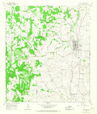
Editions of this 1965 Moulton Map
2 editions found
Other maps of this area

1901 · Flatonia
USGS Topo · 1:125,000

1953 · Seguin
USGS Topo · 1:250,000

1958 · Seguin
USGS Topo · 1:250,000

1959 · Hamon
USGS Topo · 1:24,000

1962 · Dilworth
USGS Topo · 1:24,000

1964 · Waelder
USGS Topo · 1:24,000

1965 · Wied
USGS Topo · 1:24,000

1965 · Komensky
USGS Topo · 1:24,000

1965 · Flatonia
USGS Topo · 1:24,000
1965 · Flatonia NW
USGS Topo · 1:24,000