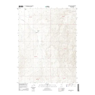
2014 Map of Mount Airy NE
USGS Topo · Published 2014About this map
Antelope Valley defines the western expanse of this Lander County terrain, where the arid landscape is shaped by the seasonal flow of Antelope Cr and Gilbert Cr. This 2014 survey captures a remote section of the Great Basin during a period of modern land management, showing the intricate contouring of the high desert peaks and the connectivity provided by the Antelope Valley Rd.
Find a feature on this map
14 named features on this map. Tap any name to fly to it.
Don’t see what you’re looking for? This feature index may not catch every label — zoom into the map to look around manually.
Map Details
Editions of this 2014 Mount Airy NE Map
This is the sole edition of this map. No revisions or reprints were ever made.
Other maps of this area

1955 · Millett
USGS Topo · 1:250,000

1959 · Millett
USGS Topo · 1:250,000

1969 · Manhattan Mtn
USGS Topo · 1:24,000

1969 · Gilbert Creek SE
USGS Topo · 1:24,000

1969 · Mount Airy
USGS Topo · 1:24,000

1969 · Vigus Butte
USGS Topo · 1:24,000

1969 · Gilbert Creek SW
USGS Topo · 1:24,000

1969 · Vigus Butte NW
USGS Topo · 1:24,000

1969 · Mount Airy NW
USGS Topo · 1:24,000

1969 · Mount Airy NE
USGS Topo · 1:24,000