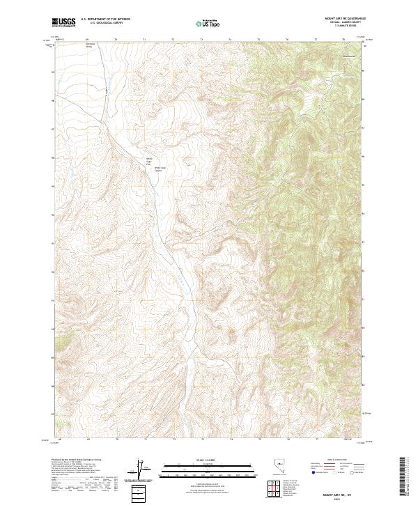
2021 Map of Mount Airy NE
USGS Topo · Published 2021About this map
Antelope Valley and the surrounding high desert terrain dominate this landscape in central Nevada. The drainage of Gilbert Cr and Antelope Cr define the hydrological movement across the basin, where the expansive White Sage Flat meets the rising elevations of White Sage Canyon. The northeastern corner of the map features the distinct rise of Ravenswood, a significant landmark overlooking the valley floor. Near this height, Cadra Spring provides a critical water source in an otherwise arid environment. This 2021 survey by the U.S. Geological Survey illustrates the modern Public Land Survey System divisions, including Township 21 North, Range 41 East, as they overlie the natural desert features of Lander County.
Find a feature on this map
13 named features on this map. Tap any name to fly to it.
Don’t see what you’re looking for? This feature index may not catch every label — zoom into the map to look around manually.
Map Details
Editions of this 2021 Mount Airy NE Map
This is the sole edition of this map. No revisions or reprints were ever made.
Other maps of this area

1955 · Millett
USGS Topo · 1:250,000

1959 · Millett
USGS Topo · 1:250,000

1969 · Manhattan Mtn
USGS Topo · 1:24,000

1969 · Gilbert Creek SE
USGS Topo · 1:24,000

1969 · Mount Airy
USGS Topo · 1:24,000

1969 · Vigus Butte
USGS Topo · 1:24,000

1969 · Gilbert Creek SW
USGS Topo · 1:24,000

1969 · Vigus Butte NW
USGS Topo · 1:24,000

1969 · Mount Airy NW
USGS Topo · 1:24,000

1969 · Mount Airy NE
USGS Topo · 1:24,000