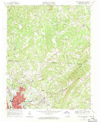
1968 Map of Mount Airy North
USGS Topo · Published 1971About this map
Ararat River flows southward through a landscape defined by the intersection of the Virginia and North Carolina state line, carving through the terrain near State Line Ridge. The northern reaches of the map are dotted with small mountain communities and rural congregations such as Ararat Ch and Mountain View Ch, illustrating a settled agrarian pattern common to the Piedmont region during the late 1960s.
Find a feature on this map
58 named features on this map. Tap any name to fly to it.
Don’t see what you’re looking for? This feature index may not catch every label — zoom into the map to look around manually.
Map Details
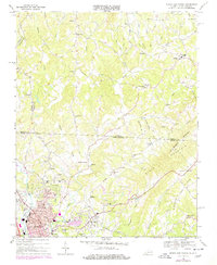
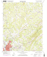
Editions of this 1968 Mount Airy North Map
3 editions found
Other maps of this area

1889 · Hillsville
USGS Topo · 1:125,000

1891 · Yadkinville
USGS Topo · 1:125,000

1892 · Hillsville
USGS Topo · 1:125,000

1893 · Yadkinville
USGS Topo · 1:125,000

1896 · Hillsville
USGS Topo · 1:125,000

1928 · Stuart
USGS Topo · 1:48,000

1931 · Stuart
USGS Topo · 1:62,500

1953 · Winston-Salem
USGS Topo · 1:250,000

1955 · Winston-Salem
USGS Topo · 1:250,000

1957 · Mount Airy
USGS Topo · 1:62,500