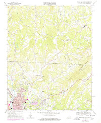
1968 Map of Mount Airy North
USGS Topo · Published 1978About this map
Ararat River flows southward through this borderland where the Blue Ridge meets the Piedmont, a landscape defined by small mountain settlements and rural congregations. The terrain is deeply carved by water, with Kings Run, Grogen Branch, and East Fork Ararat River winding through narrow valleys between Slate Mountain and Chestnut Ridge. The map documents a community infrastructure rooted in faith and local education, evidenced by numerous landmarks like Ararat Ch, Flippin Ch, and the Blue Ridge High Sch.
Find a feature on this map
81 named features on this map. Tap any name to fly to it.
Don’t see what you’re looking for? This feature index may not catch every label — zoom into the map to look around manually.
Map Details
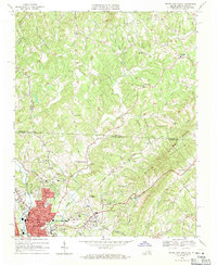
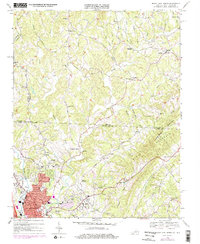
Editions of this 1968 Mount Airy North Map
3 editions found
Other maps of this area

1889 · Hillsville
USGS Topo · 1:125,000

1891 · Yadkinville
USGS Topo · 1:125,000

1892 · Hillsville
USGS Topo · 1:125,000

1893 · Yadkinville
USGS Topo · 1:125,000

1896 · Hillsville
USGS Topo · 1:125,000

1928 · Stuart
USGS Topo · 1:48,000

1931 · Stuart
USGS Topo · 1:62,500

1953 · Winston-Salem
USGS Topo · 1:250,000

1955 · Winston-Salem
USGS Topo · 1:250,000

1957 · Mount Airy
USGS Topo · 1:62,500