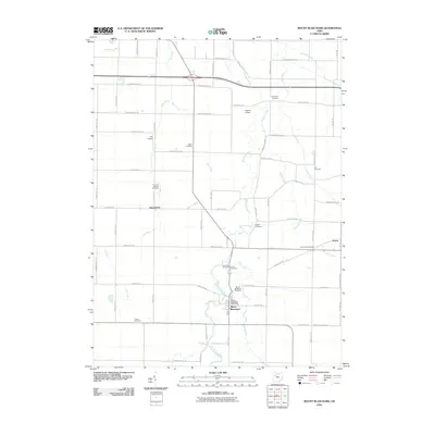
2010 Map of Mount Blanchard
USGS Topo · Published 2010About this map
Mount Blanchard serves as the central hub of this Hancock County landscape, where the Blanchard River meanders through agricultural terrain defined by a dense grid of township and county roads. The settlement patterns reveal a history of rural community life, marked by numerous small burial grounds such as Salem Cemetery and the uniquely named Frontiers Repose Cemetery near Houcktown. Small-scale aviation is represented by private landing strips like Lutz Airport and Hagerty Airport, which dot the open fields between drainage features like Silver Creek and Lye Creek. The map documents a classic Ohio township layout where small hamlets like Pratts and Houcktown persist alongside significant water management features, including Stahl Ditch and Brights Ditch, which support the region's long-standing farming tradition.
Find a feature on this map
68 named features on this map. Tap any name to fly to it.
Don’t see what you’re looking for? This feature index may not catch every label — zoom into the map to look around manually.
Map Details
Editions of this 2010 Mount Blanchard Map
This is the sole edition of this map. No revisions or reprints were ever made.
Other maps of this area

1901 · Fostoria
USGS Topo · 1:62,500

1903 · Fostoria
USGS Topo · 1:62,500

1903 · Findlay
USGS Topo · 1:62,500

1905 · Arlington
USGS Topo · 1:62,500

1907 · Arlington
USGS Topo · 1:24,000

1907 · Upper Sandusky
USGS Topo · 1:62,500

1950 · Marion
USGS Topo · 1:250,000

1956 · Toledo
USGS Topo · 1:250,000

1960 · Alvada
USGS Topo · 1:24,000

1960 · Arlington
USGS Topo · 1:24,000