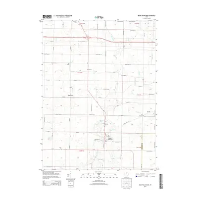
2013 Map of Mount Blanchard
USGS Topo · Published 2013About this map
The Blanchard River carves a winding path through this corner of Hancock County, serving as the primary geographical anchor for the village of Mount Blanchard. This early 21st-century documentation illustrates a landscape dominated by agriculture and small-town residency, where the rectilinear grid of township roads connects long-standing family farms. Of particular note for genealogists is the high density of burial grounds, including the curiously named Frontiers Repose Cem and the Five Points Cem near Pratts. Smaller water features like Buckrun Cr and Potato Run crisscross the farmland, while the presence of Lutz Airport north of Houcktown suggests the persistent role of local aviation in this rural corridor. The map provides a clear picture of the boundary between the townships and the adjacent Wyandot County line, capturing the stable settlement patterns of central Ohio.
Find a feature on this map
74 named features on this map. Tap any name to fly to it.
Don’t see what you’re looking for? This feature index may not catch every label — zoom into the map to look around manually.
Map Details
Editions of this 2013 Mount Blanchard Map
This is the sole edition of this map. No revisions or reprints were ever made.
Other maps of this area

1901 · Fostoria
USGS Topo · 1:62,500

1903 · Fostoria
USGS Topo · 1:62,500

1903 · Findlay
USGS Topo · 1:62,500

1905 · Arlington
USGS Topo · 1:62,500

1907 · Arlington
USGS Topo · 1:24,000

1907 · Upper Sandusky
USGS Topo · 1:62,500

1950 · Marion
USGS Topo · 1:250,000

1956 · Toledo
USGS Topo · 1:250,000

1960 · Alvada
USGS Topo · 1:24,000

1960 · Arlington
USGS Topo · 1:24,000