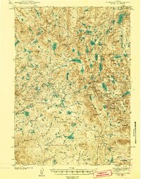
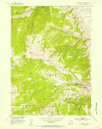
1938 Map of Mount Bonneville
USGS Topo · Published 1973About this map
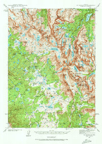
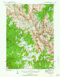
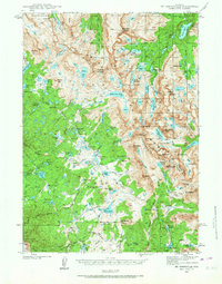
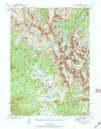
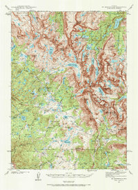
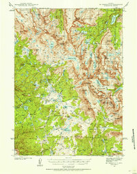
The Continental Divide zigzags through this high-altitude landscape of the Wind River Range, where surveyors T. F. Murphy and S. C. Kain documented the glaciated terrain in the late 1930s. Centered on the massive granite peak of Mt Bonneville, the map reveals a wilderness accessible only by a network of high-country paths, labeled simply as Trail. Human presence is sparse and utilitarian, represented by seasonal outposts like the South Fork Guard Sta, the John Day Cabin, and a Cow Camp. The drainage patterns of the Shoshone National Forest are defined by hundreds of alpine water bodies, including the expansive Middle Fork Lake and the clustered Milky Lakes. Key mountain crossings such as Hailey Pass and Washakie Pass provide the only navigable breaks through the high ridges, connecting the Fremont and Sublette county line.
Find a feature on this map
94 named features on this map. Tap any name to fly to it.
Don’t see what you’re looking for? This feature index may not catch every label — zoom into the map to look around manually.
Map Details
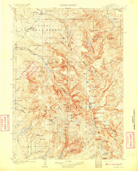
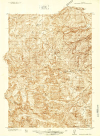
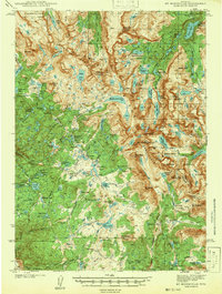
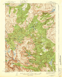
Editions of this 1938 Mount Bonneville Map
6 editions found
Other maps of this area
1909 · Fremont Peak
USGS Topo · 1:125,000
1937 · Moccasin Lake
USGS Topo · 1:48,000
1938 · Mt Bonneville
USGS Topo · 1:62,500
1941 · Mt Bonneville
USGS Topo · 1:62,500
1942 · Mt Bonneville
USGS Topo · 1:62,500
1943 · Moccasin Lake
USGS Topo · 1:62,500
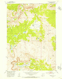
1952 · Paradise Basin
USGS Topo · 1:24,000
1952 · St. Lawrence Basin
USGS Topo · 1:24,000
1952 · Alpine Lake
USGS Topo · 1:24,000

1955 · Thermopolis
USGS Topo · 1:250,000