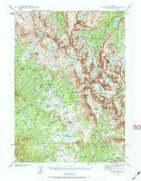
1938 Map of Mount Bonneville
USGS Topo · Published 1985About this map
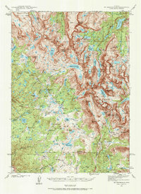
The Continental Divide zigzags through this high-altitude landscape, separating the headwaters of the Little Wind River from the sprawling lake basins of the west. Surveyed in the late 1930s, the map documents a remote alpine wilderness where the Bridger National Forest meets the Shoshone National Forest. This territory is defined by its massive granite peaks, including the prominent Mt Bonneville, Mt Geikie, and Mt Washakie.
Find a feature on this map
88 named features on this map. Tap any name to fly to it.
Don’t see what you’re looking for? This feature index may not catch every label — zoom into the map to look around manually.
Map Details
Editions of this 1938 Mount Bonneville Map
6 editions found
Other maps of this area

1909 · Fremont Peak
USGS Topo · 1:125,000

1937 · Moccasin Lake
USGS Topo · 1:48,000

1938 · Mt Bonneville
USGS Topo · 1:62,500

1941 · Mt Bonneville
USGS Topo · 1:62,500

1942 · Mt Bonneville
USGS Topo · 1:62,500

1943 · Moccasin Lake
USGS Topo · 1:62,500

1952 · Paradise Basin
USGS Topo · 1:24,000

1952 · St. Lawrence Basin
USGS Topo · 1:24,000

1952 · Alpine Lake
USGS Topo · 1:24,000

1955 · Thermopolis
USGS Topo · 1:250,000