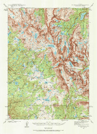
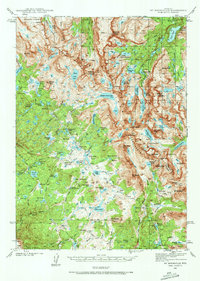
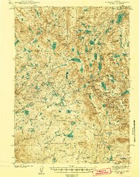
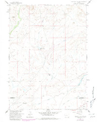
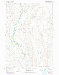
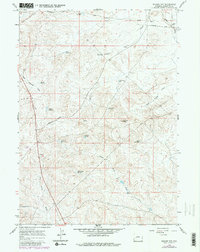
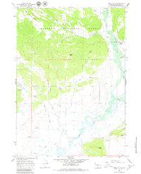
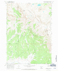
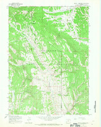
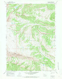
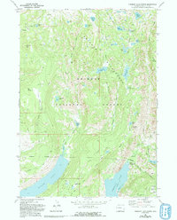
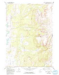
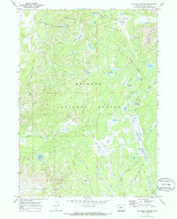
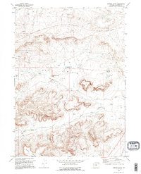
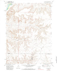
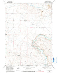
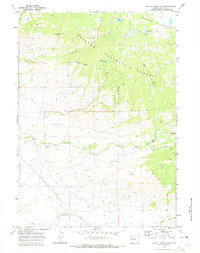
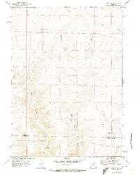
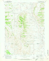
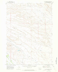
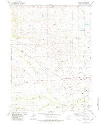
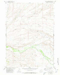
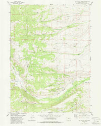
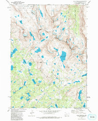
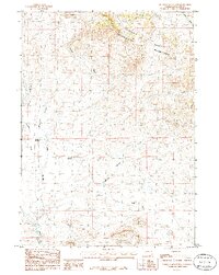
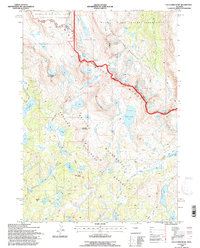
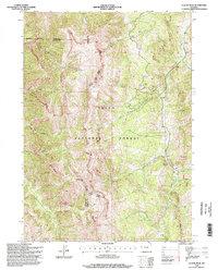
1938 Map of Mt Bonneville
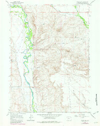
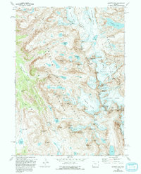
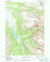
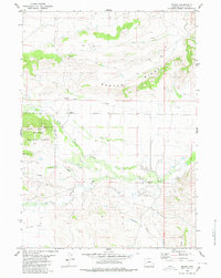
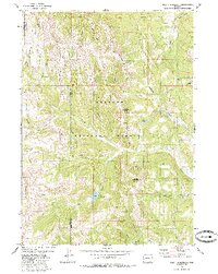
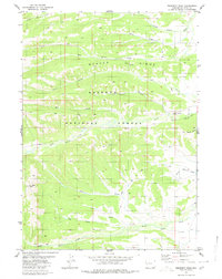
USGS Topo · Published 1986About this map
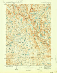
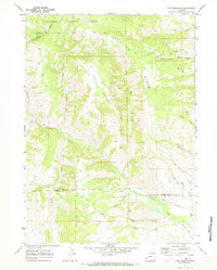
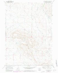
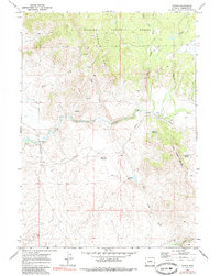
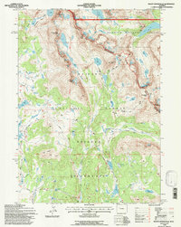
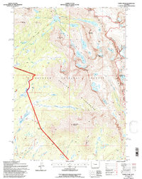
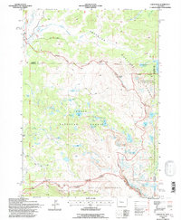
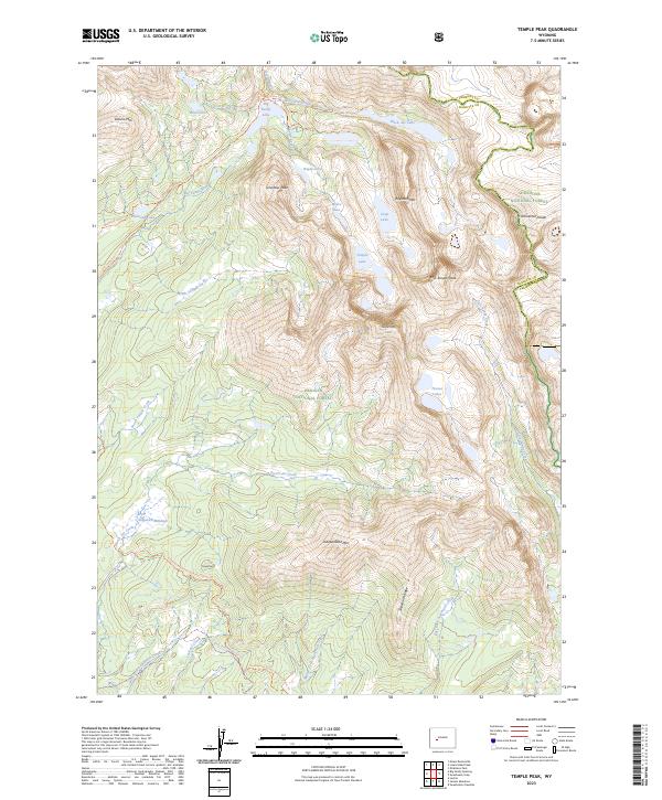
The Continental Divide zigzags through this high-altitude landscape on the border of Fremont and Sublette Counties, defining a region of immense geological scale. Surveyed in the late 1930s by T. F. Murphy and S. C. Kain, the map details the high peaks of the Wind River Range, including Mt Bonneville, Mt Geikie, and Mt Washakie. The map reveals the intricate drainage patterns of the era, where Milky Creek and the Middle Fork Lake system feed into the Boulder Creek watershed.
Find a feature on this map
88 named features on this map. Tap any name to fly to it.
Don’t see what you’re looking for? This feature index may not catch every label — zoom into the map to look around manually.
Map Details
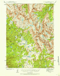
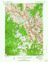
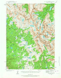
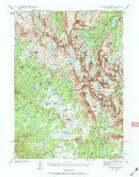
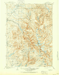
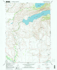
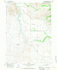
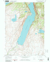
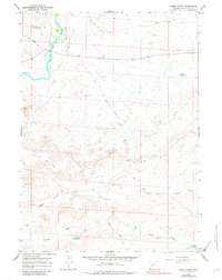
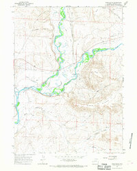
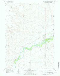
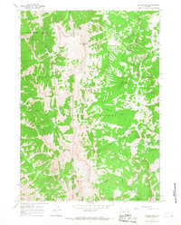
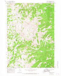
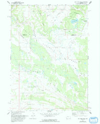
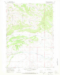
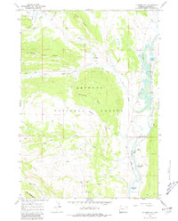
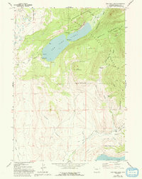
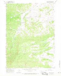
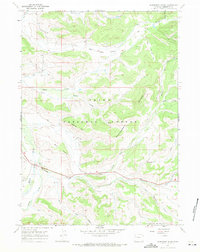
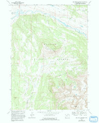
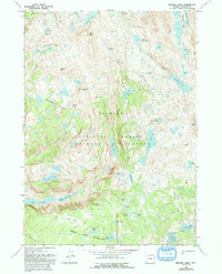
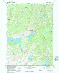
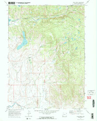
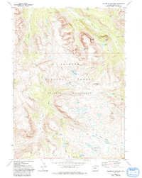
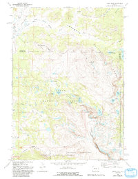
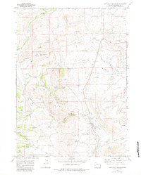
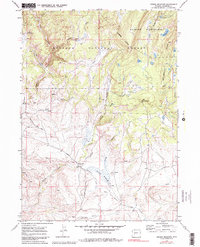
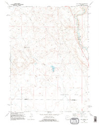
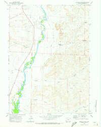
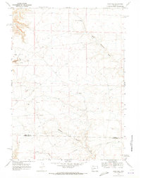
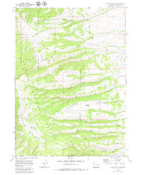
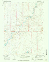
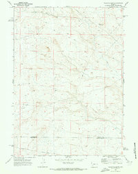
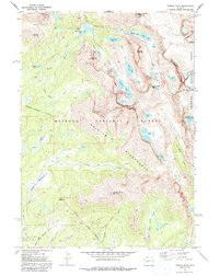
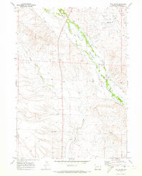
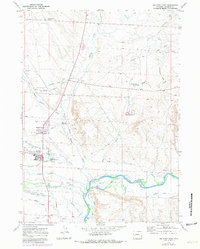
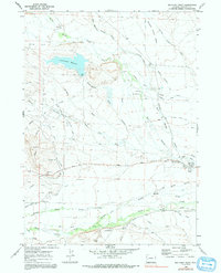
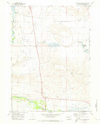
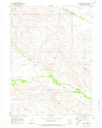
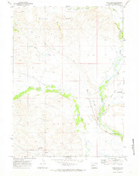
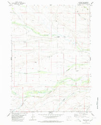
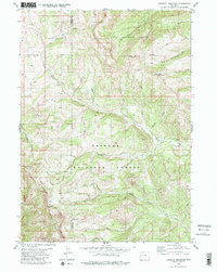
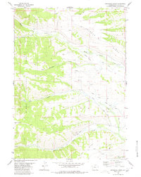
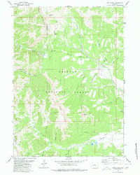
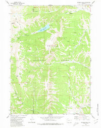
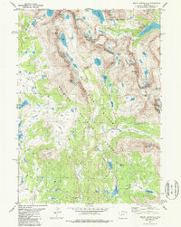
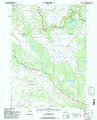
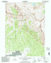
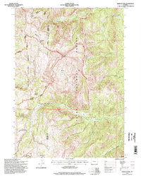
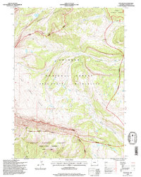
Editions of this 1938 Mt Bonneville Map
6 editions found
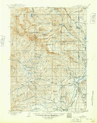
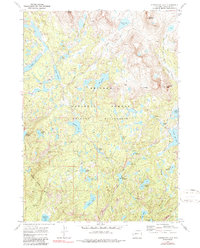
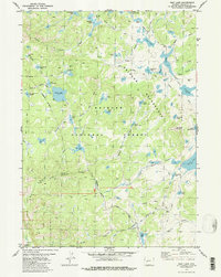
Historical Maps of Fremont County Through Time
191 maps found

1907 Gros Ventre
Sublette County, WY
1909 Fremont Peak
Sublette County, WY
1910 Gros Ventre
Sublette County, WY
1938 Mt Bonneville
Sublette County, WY
1941 Mt Bonneville
Sublette County, WY
1942 Mt Bonneville
Sublette County, WY
1958 Hay Meadow Reservoir
Sublette County, WY
1958 Parting of the Ways
Sublette County, WY
1958 Parting of the Ways
Sublette County, WY
1964 Boulder Lake
Sublette County, WY
1964 Fremont Butte
Sublette County, WY
1964 Fremont Lake South
Sublette County, WY
1964 Mesa Spring
Sublette County, WY
1964 Mount Airy
Sublette County, WY
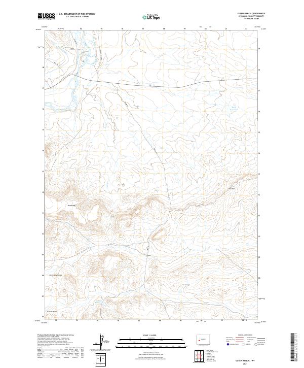
1964 Olsen Ranch
Sublette County, WY
1964 Ross Butte
Sublette County, WY
1964 Square Top
Sublette County, WY
1964 Two Buttes Reservoir
Sublette County, WY
1965 Clause Peak
Sublette County, WY
1965 Hoback Peak
Sublette County, WY
1966 Dodge Butte
Sublette County, WY
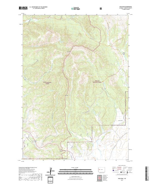
1966 Pass Peak
Sublette County, WY
1966 Signal Hill
Sublette County, WY
1966 Warren Bridge
Sublette County, WY
1967 Doubletop Peak
Sublette County, WY
1967 Fish Creek Park
Sublette County, WY
1967 Kismet Peak
Sublette County, WY
1967 Klondike Hill
Sublette County, WY
1967 Mount Thompson
Sublette County, WY
1967 New Fork Lakes
Sublette County, WY
1967 Noble Basin
Sublette County, WY
1967 Raspberry Ridge
Sublette County, WY
1967 Tosi Peak
Sublette County, WY
1968 Big Sheep Mountain
Sublette County, WY
1968 Bridger Lakes
Sublette County, WY
1968 Fayette Lake
Sublette County, WY
1968 Fremont Lake North
Sublette County, WY
1968 Gannett Peak
Sublette County, WY
1968 Green River Lakes
Sublette County, WY
1968 Horseshoe Lake
Sublette County, WY
1968 Kendall Mountain
Sublette County, WY
1968 Scab Creek
Sublette County, WY
1968 Squaretop Mountain
Sublette County, WY
1968 Union Peak
Sublette County, WY
1969 Big Sandy Opening
Sublette County, WY
1969 Big Sandy Reservoir SE
Sublette County, WY
1969 Big Sandy Reservoir
Sublette County, WY
1969 Bull Draw
Sublette County, WY
1969 Chimney Butte
Sublette County, WY
1969 Cretaceous Mountain
Sublette County, WY
1969 Jensen Meadows
Sublette County, WY
1969 Juel Spring
Sublette County, WY
1969 La Barge SE
Sublette County, WY
1969 Lake Mountain
Sublette County, WY
1969 Leckie Reservoir
Sublette County, WY
1969 Leckie
Sublette County, WY
1969 Leckie SW
Sublette County, WY
1969 Milleson Draw
Sublette County, WY
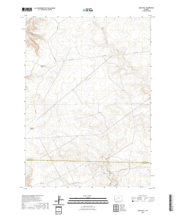
1969 Oasis Well
Sublette County, WY
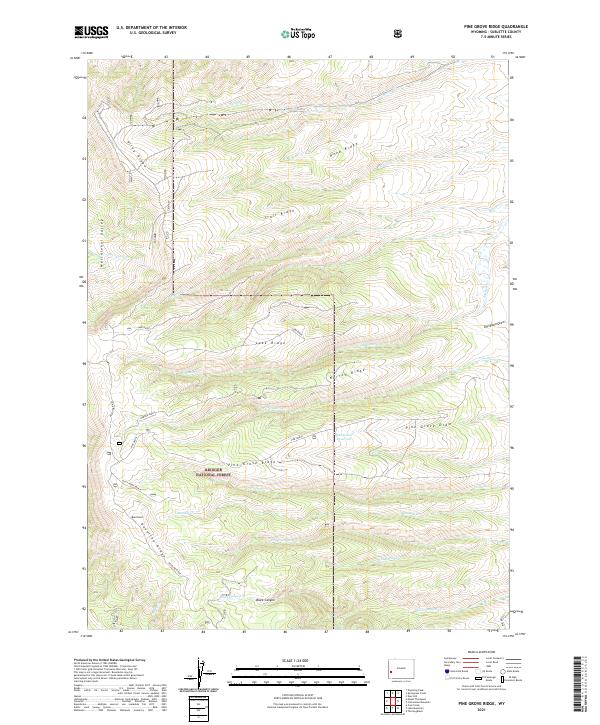
1969 Pine Grove Ridge
Sublette County, WY
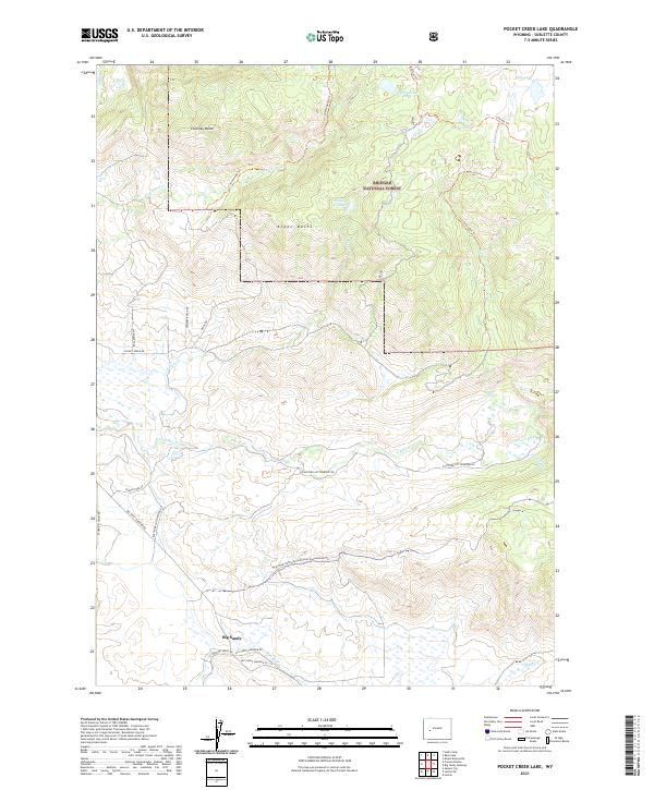
1969 Pocket Creek Lake
Sublette County, WY
1969 Stud Horse Butte
Sublette County, WY
1969 Sugar Loaf NE
Sublette County, WY
1969 Sugar Loaf NW
Sublette County, WY
1969 Sugar Loaf
Sublette County, WY
1969 Tabernacle Butte
Sublette County, WY
1969 Teakettle Butte
Sublette County, WY
1969 Temple Peak
Sublette County, WY
1969 The Hogsback
Sublette County, WY
1970 Ball Island
Sublette County, WY
1970 Big Piney East
Sublette County, WY
1970 Big Piney West
Sublette County, WY
1970 Budd Reservoir
Sublette County, WY
1970 Daniel Junction
Sublette County, WY
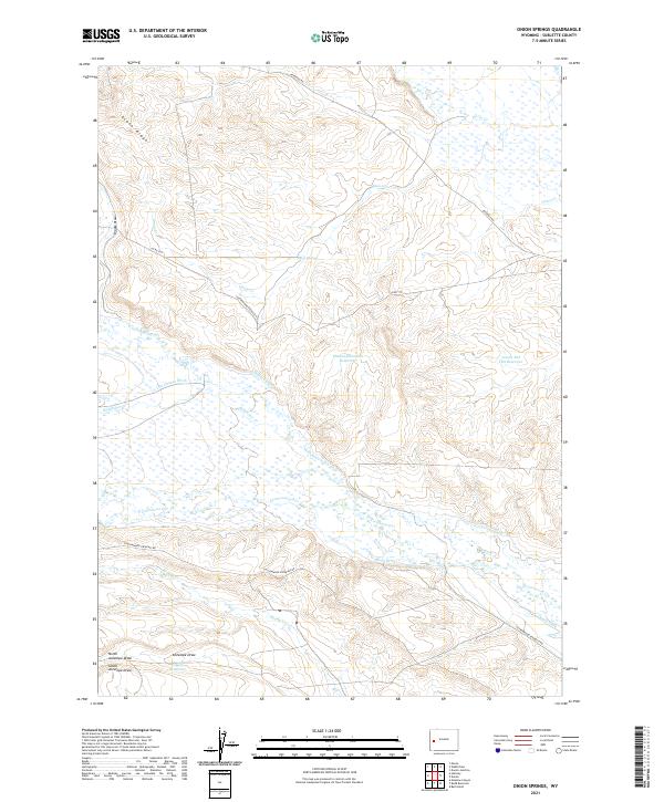
1970 Onion Springs
Sublette County, WY
1970 Webb Draw
Sublette County, WY
1980 Deer Hill
Sublette County, WY
1980 Halfway
Sublette County, WY
1980 Lookout Mountain
Sublette County, WY
1980 Maki Creek
Sublette County, WY
1980 Meadow Canyon
Sublette County, WY
1980 Merna
Sublette County, WY
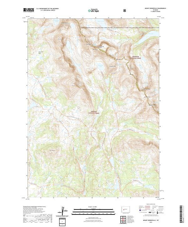
1980 Mount Schideler
Sublette County, WY
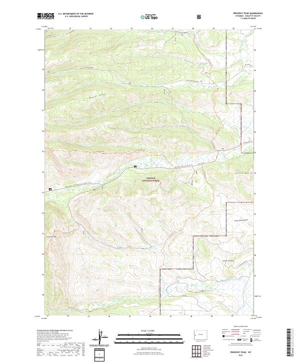
1980 Prospect Peak
Sublette County, WY
1980 Red Castle Creek
Sublette County, WY
1980 Springman Creek
Sublette County, WY
1980 Triple Peak
Sublette County, WY
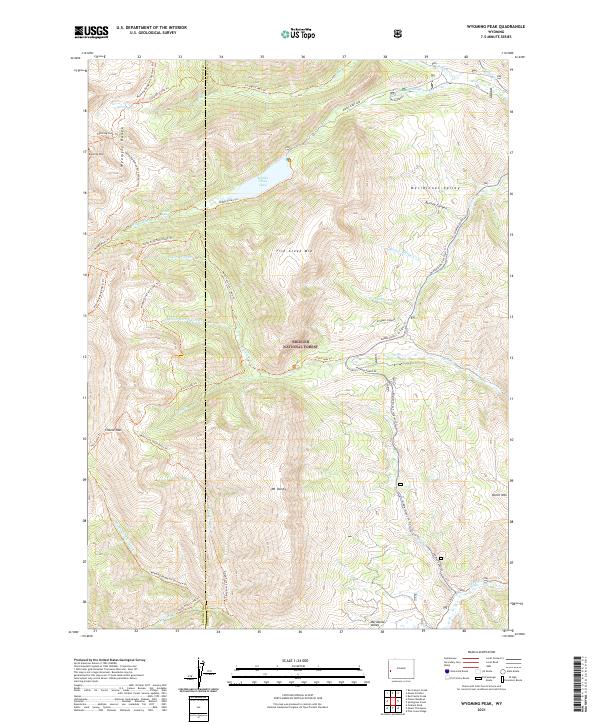
1980 Wyoming Peak
Sublette County, WY
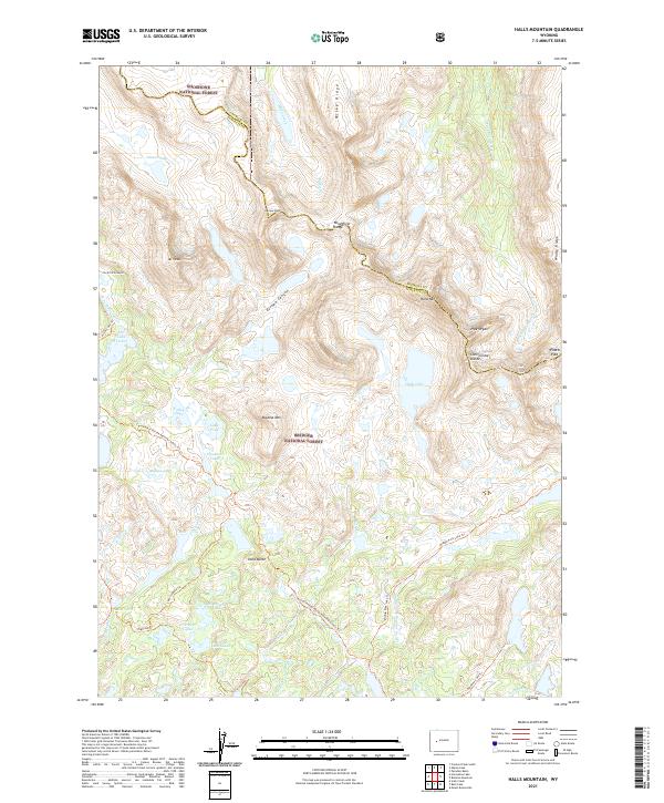
1981 Halls Mountain
Sublette County, WY
1981 Mount Bonneville
Sublette County, WY
1981 Raid Lake
Sublette County, WY
1986 Halls Meadow Spring
Sublette County, WY
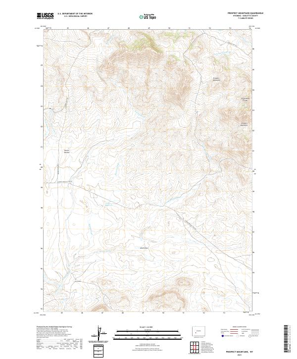
1986 Prospect Mountains
Sublette County, WY
1991 Fish Creek Park
Sublette County, WY
1991 Gannett Peak
Sublette County, WY
1991 Green River Lakes
Sublette County, WY
1991 Halls Mountain
Sublette County, WY
1991 Mount Bonneville
Sublette County, WY
1991 Temple Peak
Sublette County, WY
1991 Union Peak
Sublette County, WY
1996 Clause Peak
Sublette County, WY
1996 Doubletop Peak
Sublette County, WY
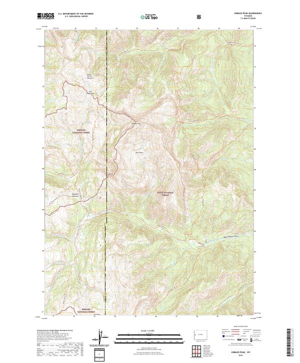
1996 Hoback Peak
Sublette County, WY
1996 Tosi Peak
Sublette County, WY
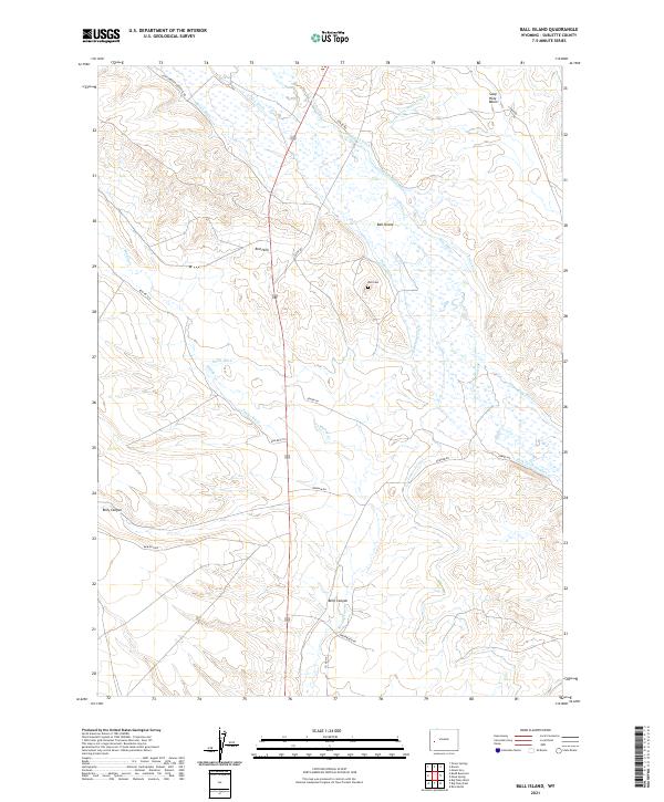
2021 Ball Island
Sublette County, WY
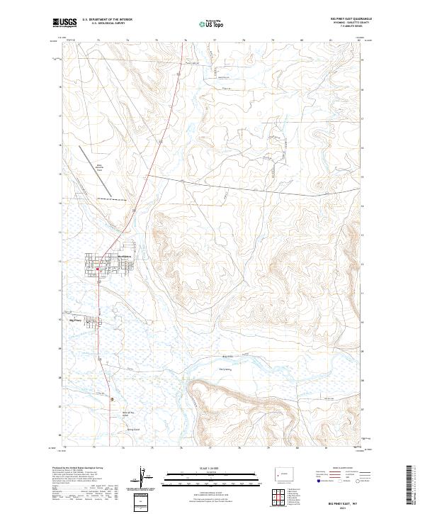
2021 Big Piney East
Sublette County, WY
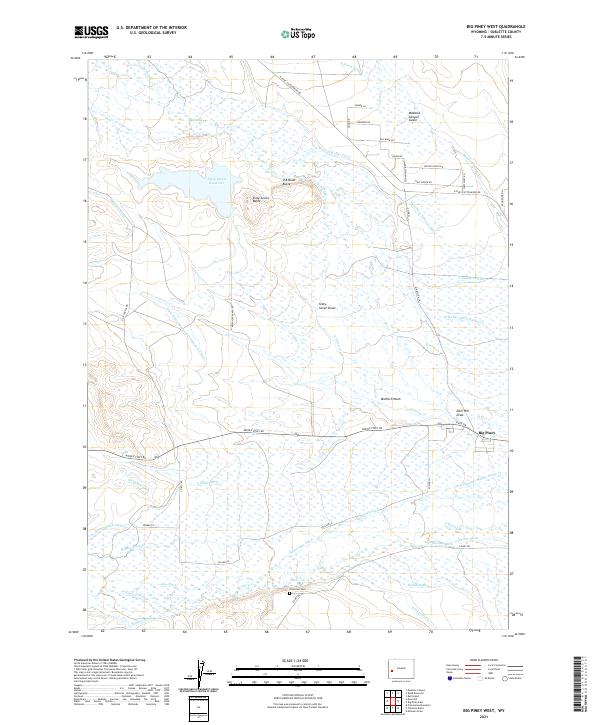
2021 Big Piney West
Sublette County, WY
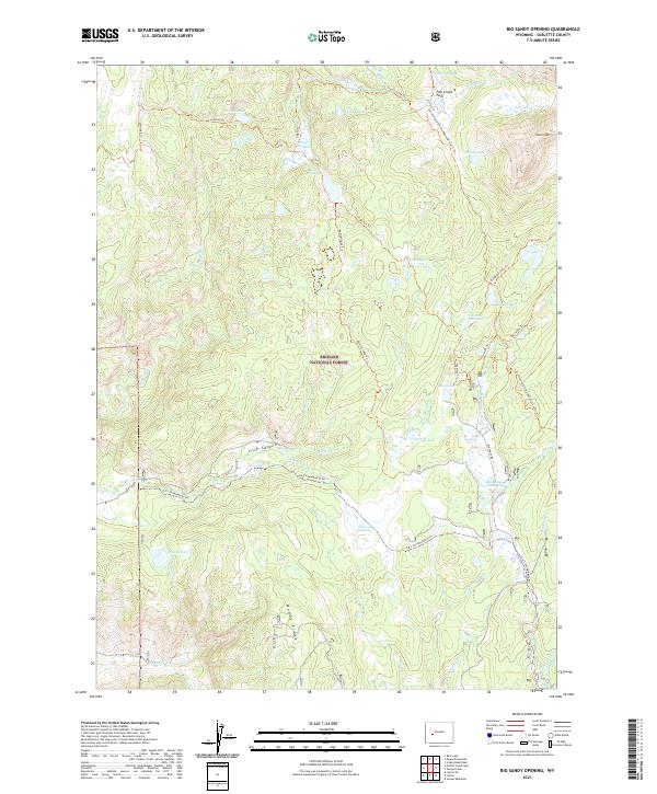
2021 Big Sandy Opening
Sublette County, WY
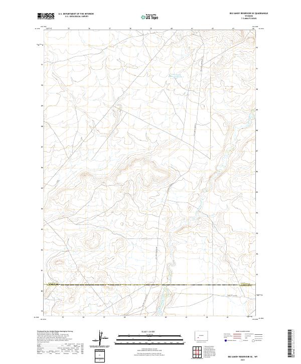
2021 Big Sandy Reservoir SE
Sublette County, WY
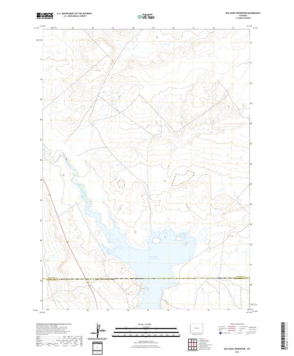
2021 Big Sandy Reservoir
Sublette County, WY
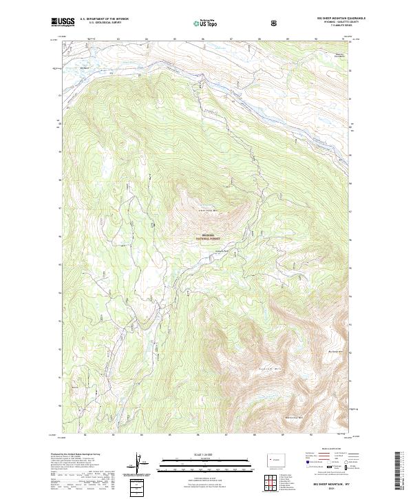
2021 Big Sheep Mountain
Sublette County, WY
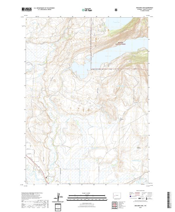
2021 Boulder Lake
Sublette County, WY
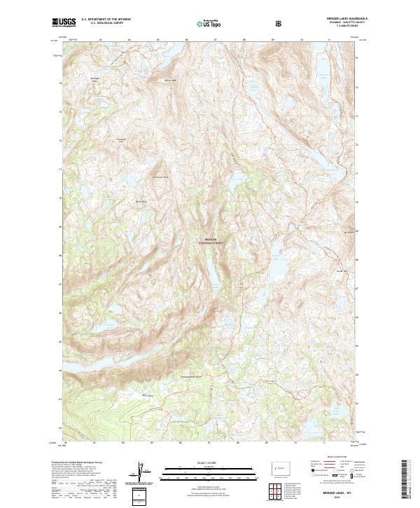
2021 Bridger Lakes
Sublette County, WY
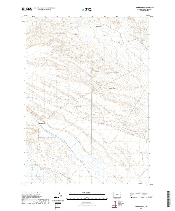
2021 Budd Reservoir
Sublette County, WY
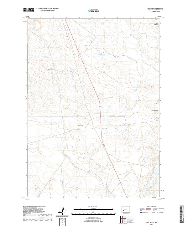
2021 Bull Draw
Sublette County, WY
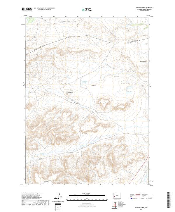
2021 Chimney Butte
Sublette County, WY
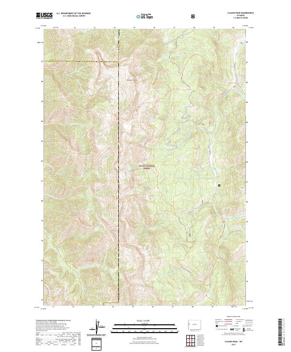
2021 Clause Peak
Sublette County, WY
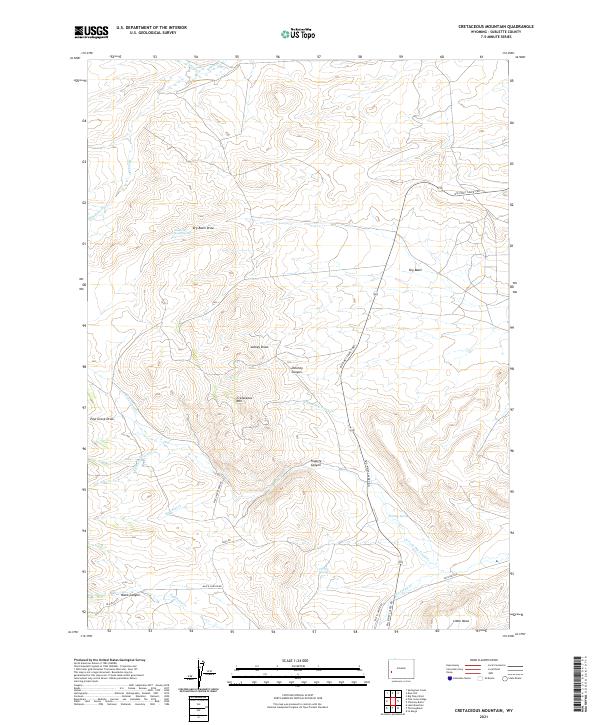
2021 Cretaceous Mountain
Sublette County, WY
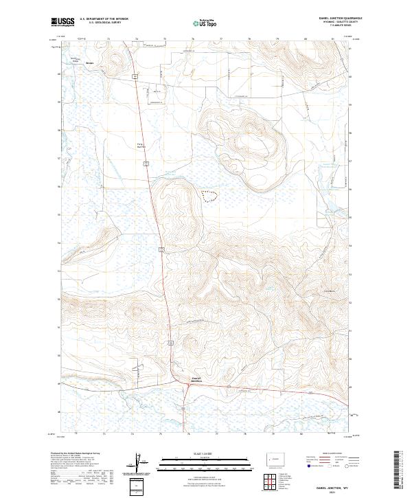
2021 Daniel Junction
Sublette County, WY
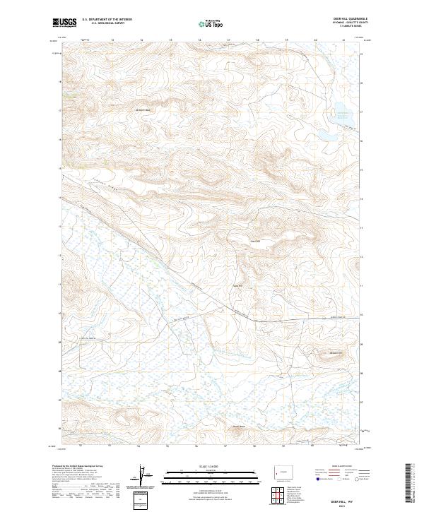
2021 Deer Hill
Sublette County, WY
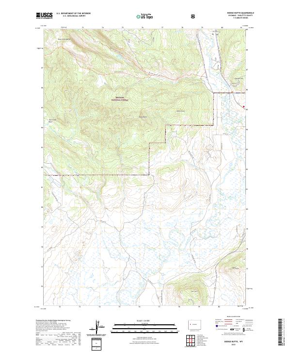
2021 Dodge Butte
Sublette County, WY
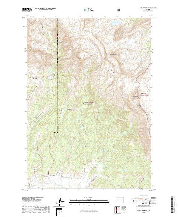
2021 Doubletop Peak
Sublette County, WY
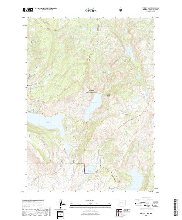
2021 Fayette Lake
Sublette County, WY
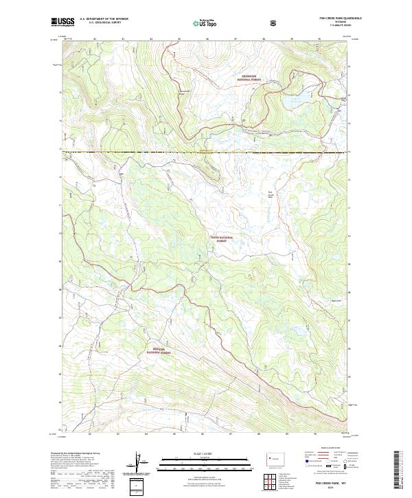
2021 Fish Creek Park
Sublette County, WY
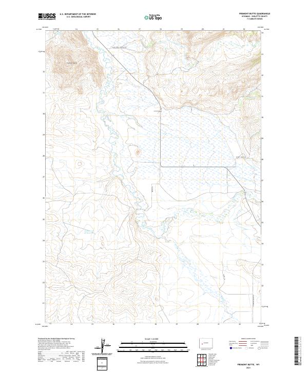
2021 Fremont Butte
Sublette County, WY
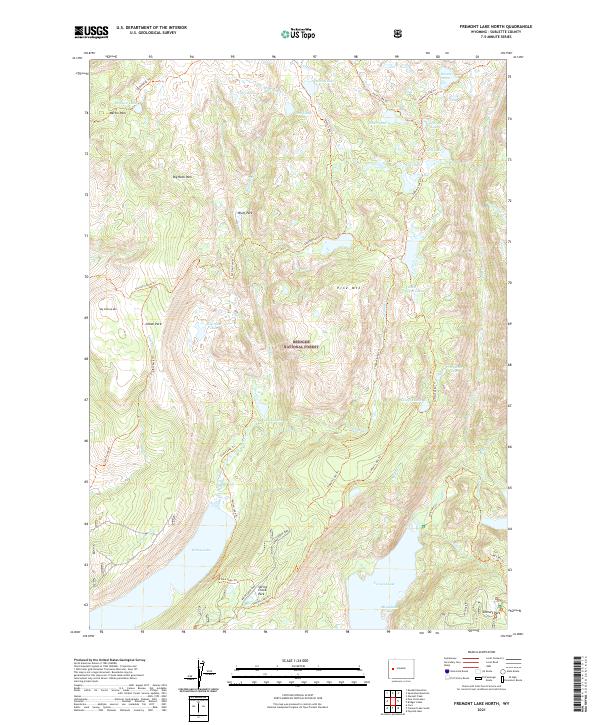
2021 Fremont Lake North
Sublette County, WY
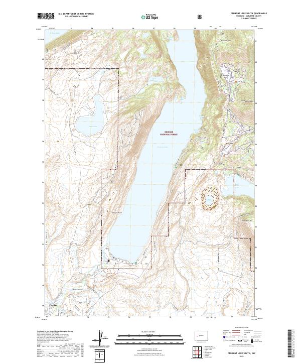
2021 Fremont Lake South
Sublette County, WY
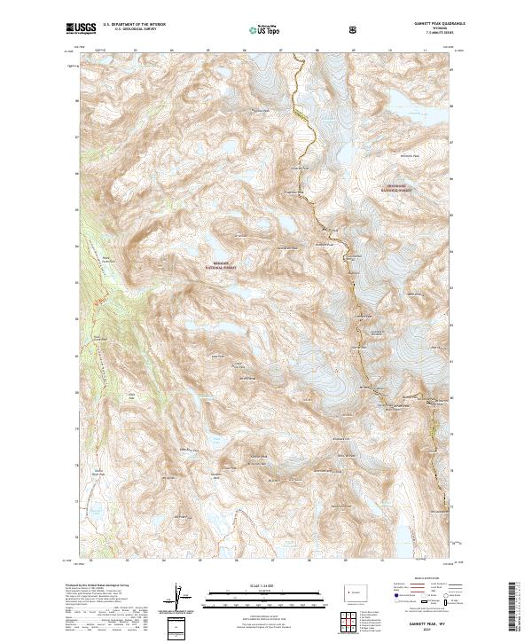
2021 Gannett Peak
Sublette County, WY
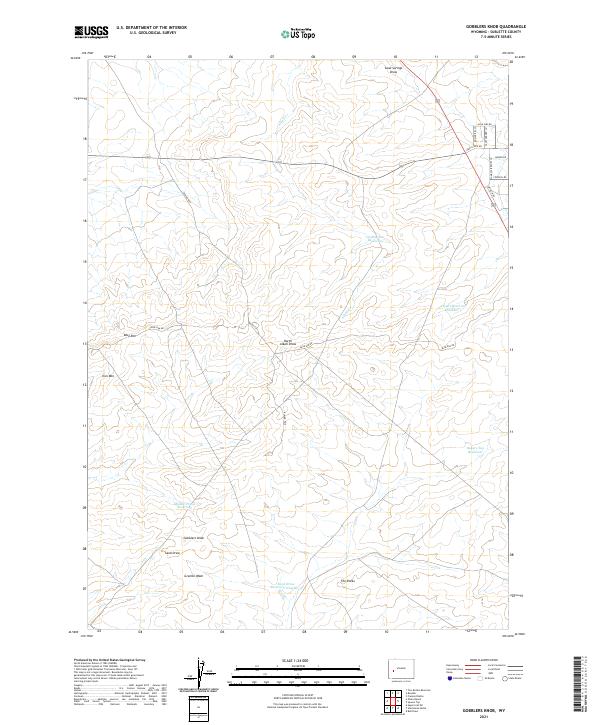
2021 Gobblers Knob
Sublette County, WY
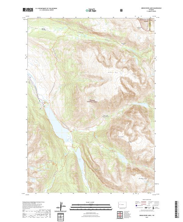
2021 Green River Lakes
Sublette County, WY
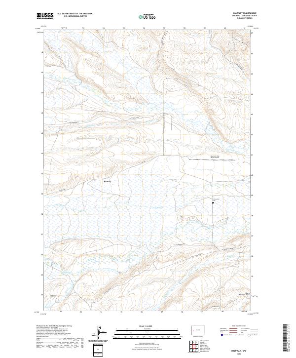
2021 Halfway
Sublette County, WY
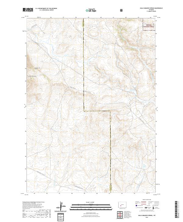
2021 Halls Meadow Spring
Sublette County, WY
2021 Halls Mountain
Sublette County, WY
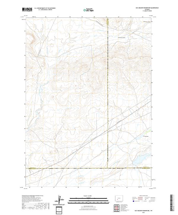
2021 Hay Meadow Reservoir
Sublette County, WY
2021 Hoback Peak
Sublette County, WY
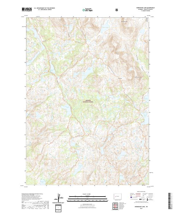
2021 Horseshoe Lake
Sublette County, WY
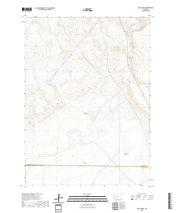
2021 Juel Spring
Sublette County, WY
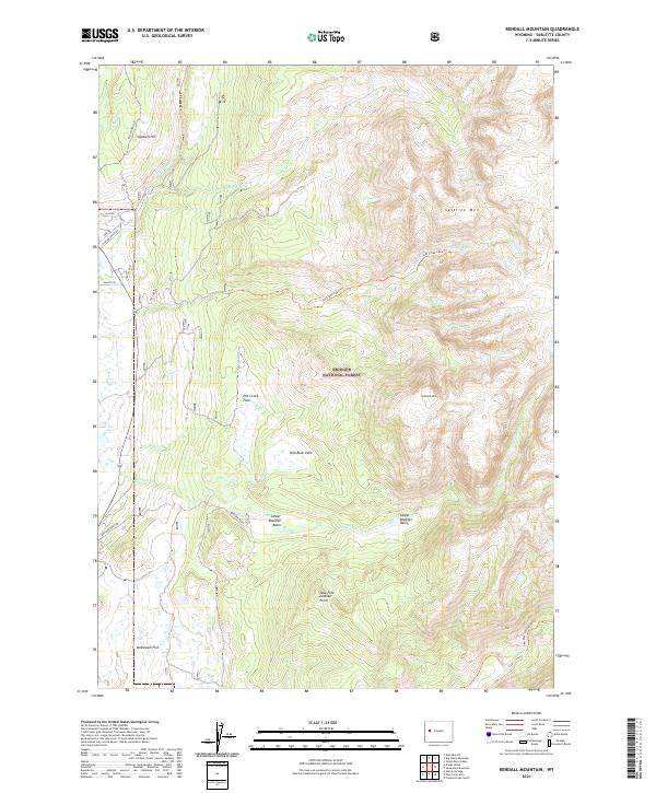
2021 Kendall Mountain
Sublette County, WY
2021 Kismet Peak
Sublette County, WY
2021 Klondike Hill
Sublette County, WY
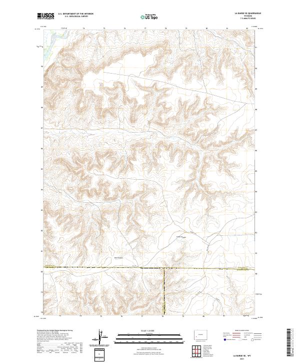
2021 La Barge SE
Sublette County, WY
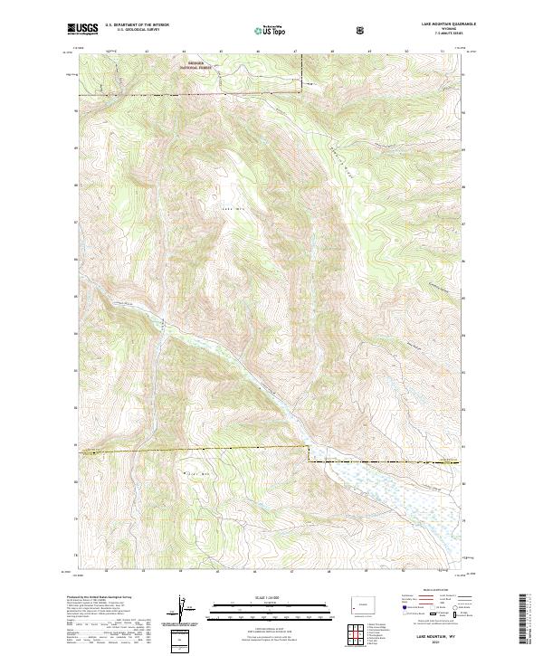
2021 Lake Mountain
Sublette County, WY
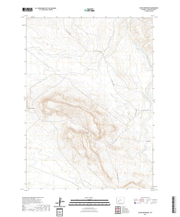
2021 Leckie Reservoir
Sublette County, WY
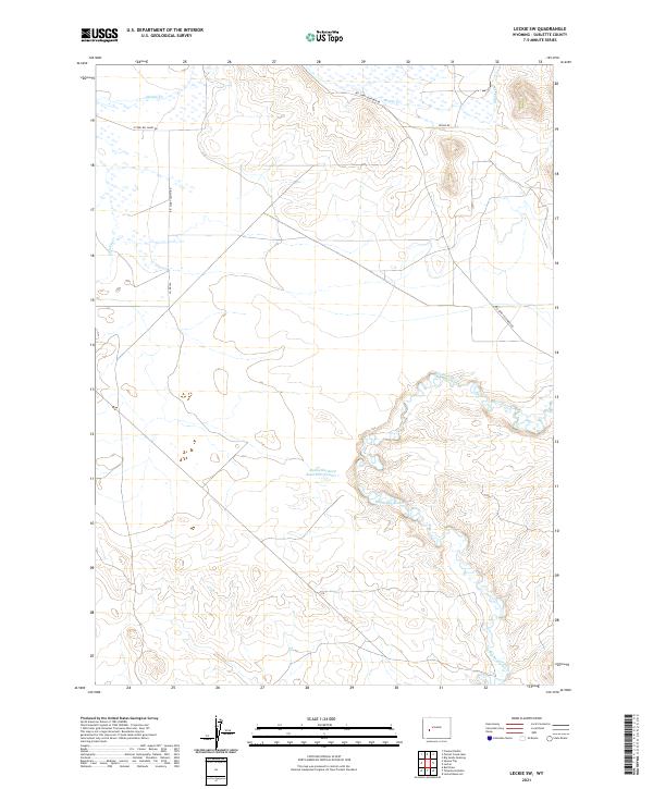
2021 Leckie SW
Sublette County, WY
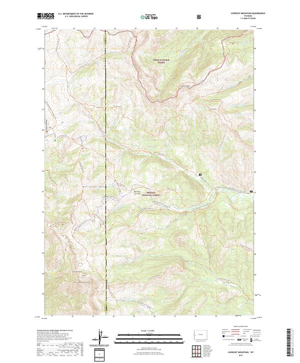
2021 Lookout Mountain
Sublette County, WY
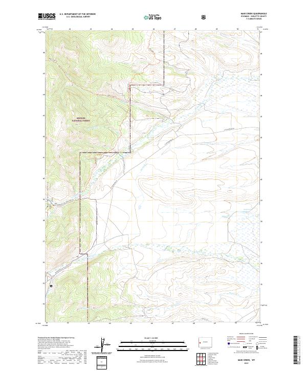
2021 Maki Creek
Sublette County, WY
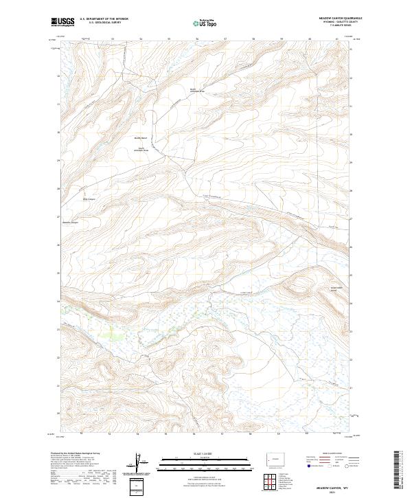
2021 Meadow Canyon
Sublette County, WY
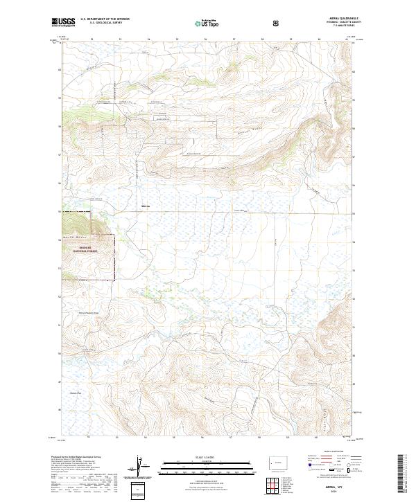
2021 Merna
Sublette County, WY
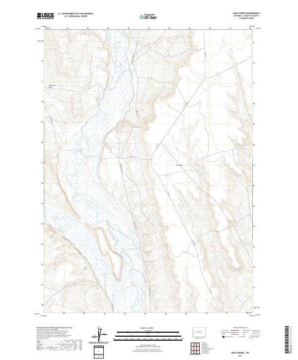
2021 Mesa Spring
Sublette County, WY
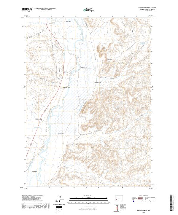
2021 Milleson Draw
Sublette County, WY
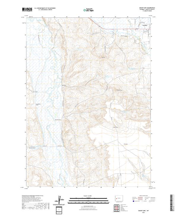
2021 Mount Airy
Sublette County, WY
2021 Mount Bonneville
Sublette County, WY
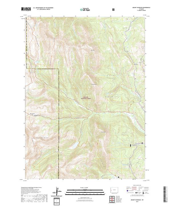
2021 Mount Schidler
Sublette County, WY
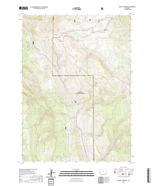
2021 Mount Thompson
Sublette County, WY
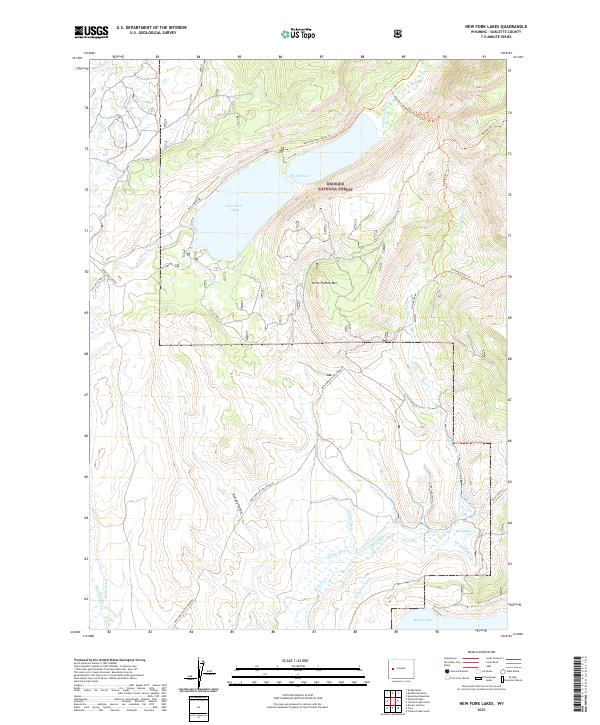
2021 New Fork Lakes
Sublette County, WY
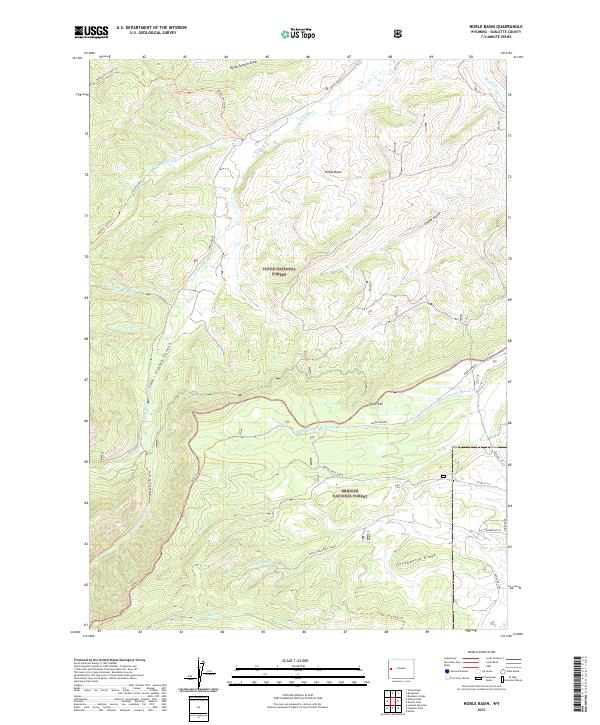
2021 Noble Basin
Sublette County, WY
2021 Oasis Well
Sublette County, WY
2021 Olsen Ranch
Sublette County, WY
2021 Onion Springs
Sublette County, WY
2021 Pass Peak
Sublette County, WY
2021 Pine Grove Ridge
Sublette County, WY
2021 Pocket Creek Lake
Sublette County, WY
2021 Prospect Mountains
Sublette County, WY
2021 Prospect Peak
Sublette County, WY
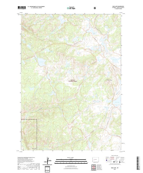
2021 Raid Lake
Sublette County, WY
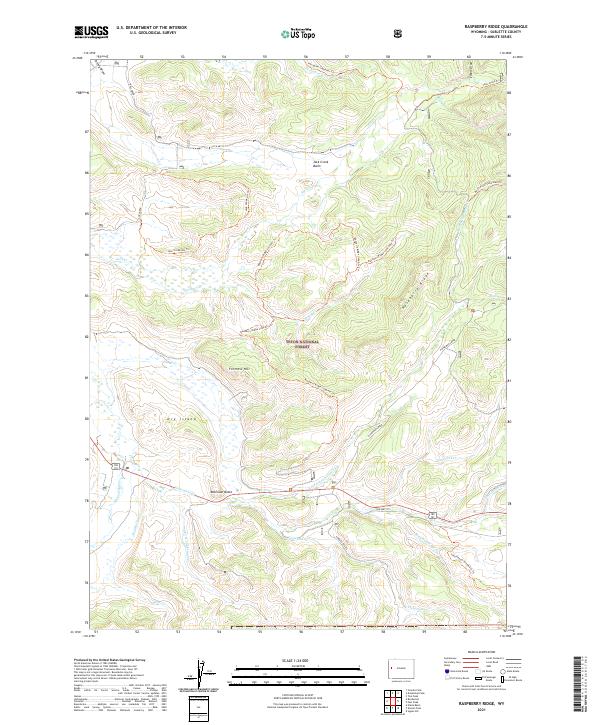
2021 Raspberry Ridge
Sublette County, WY
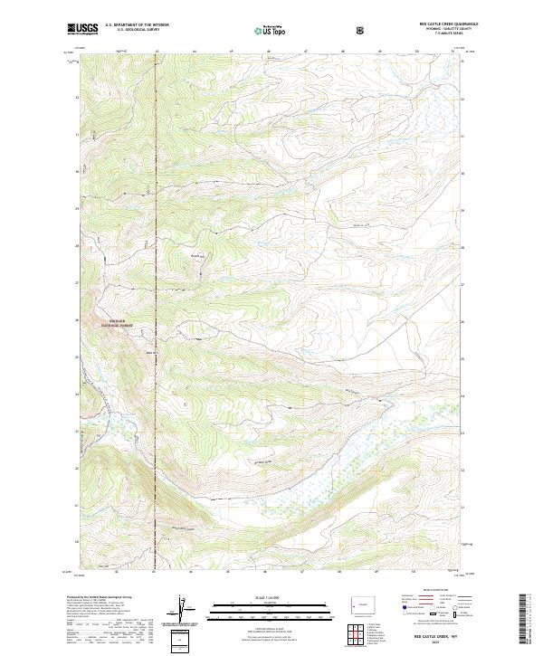
2021 Red Castle Creek
Sublette County, WY
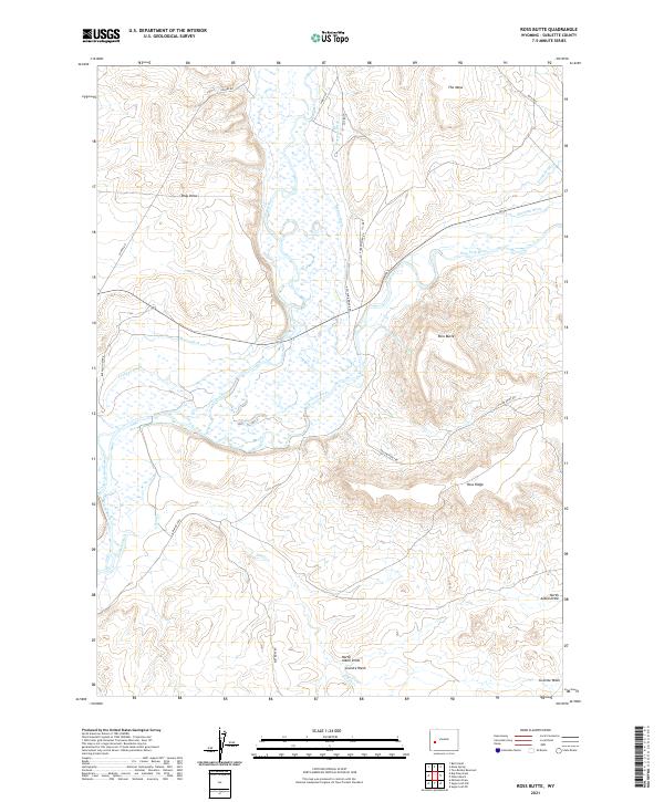
2021 Ross Butte
Sublette County, WY
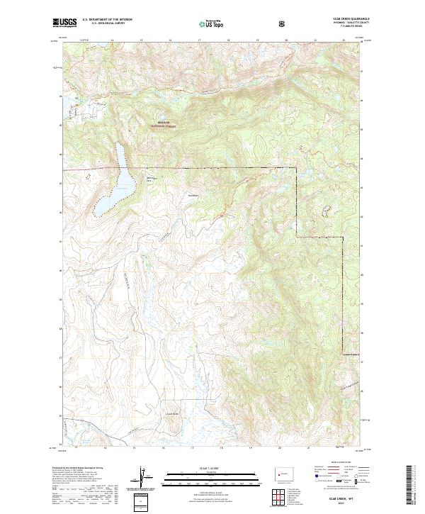
2021 Scab Creek
Sublette County, WY
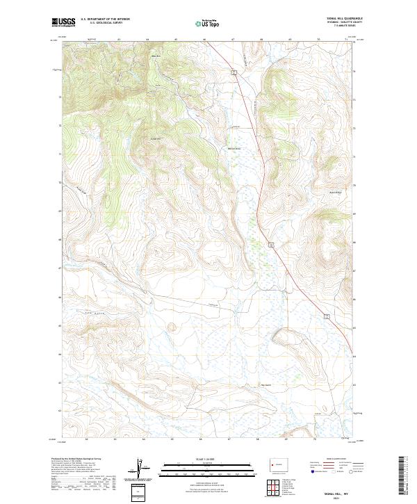
2021 Signal Hill
Sublette County, WY
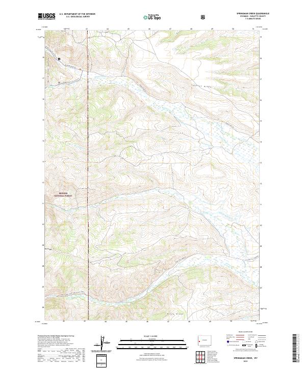
2021 Springman Creek
Sublette County, WY
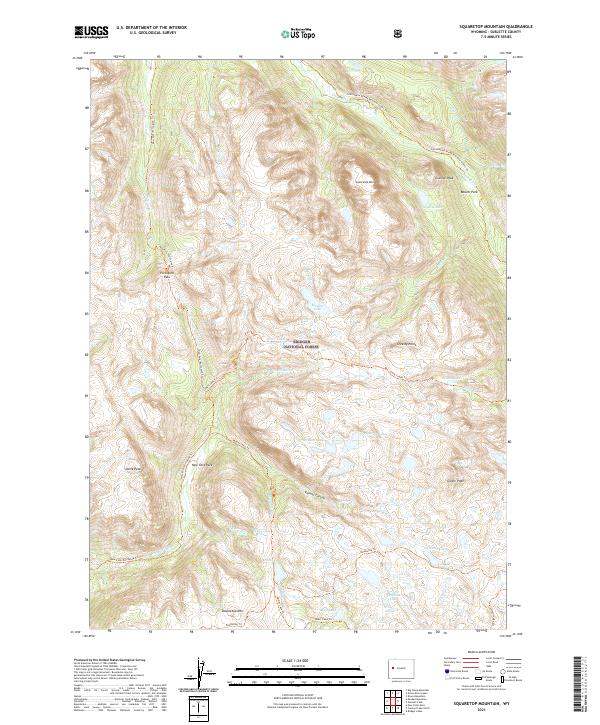
2021 Squaretop Mountain
Sublette County, WY
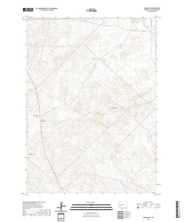
2021 Square Top
Sublette County, WY
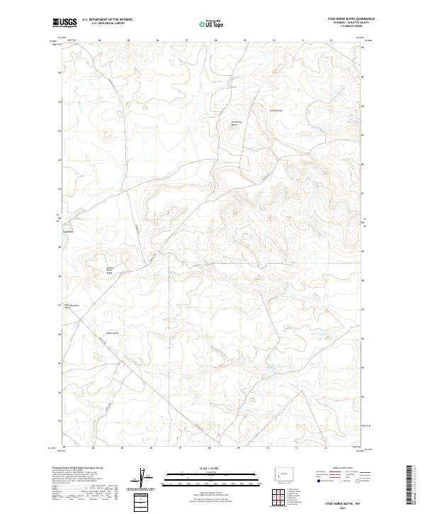
2021 Stud Horse Butte
Sublette County, WY

2021 Sugar Loaf NE
Sublette County, WY
2021 Sugar Loaf NW
Sublette County, WY
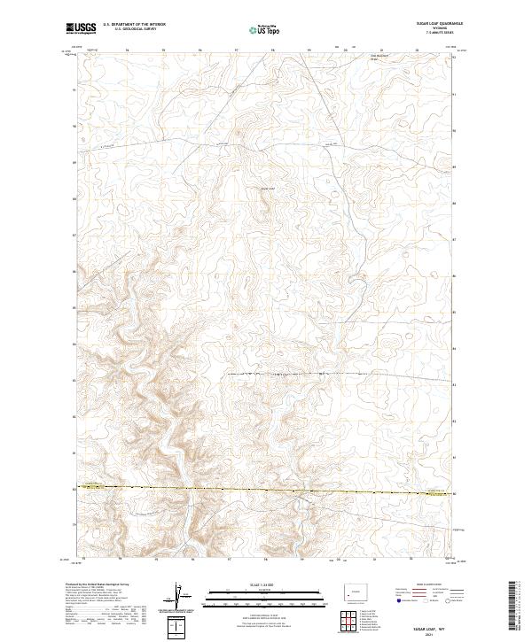
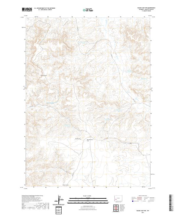
2021 Sugar Loaf
Sublette County, WY
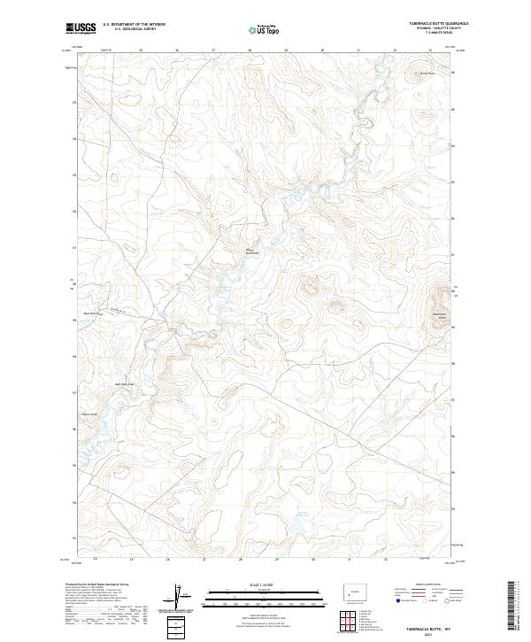
2021 Tabernacle Butte
Sublette County, WY
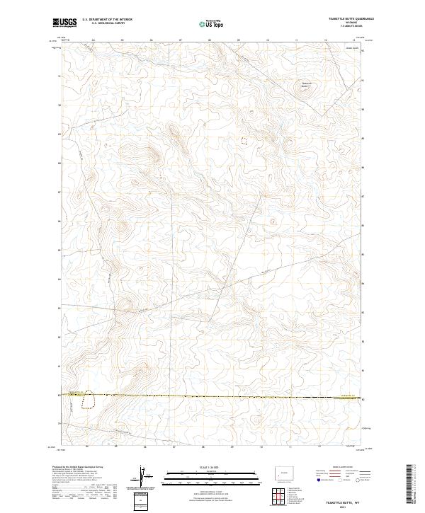
2021 Teakettle Butte
Sublette County, WY
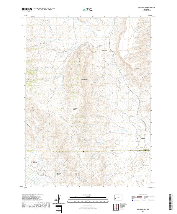
2021 The Hogsback
Sublette County, WY
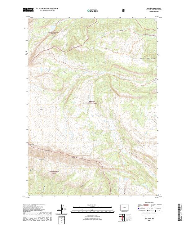
2021 Tosi Peak
Sublette County, WY

2021 Triple Peak
Sublette County, WY
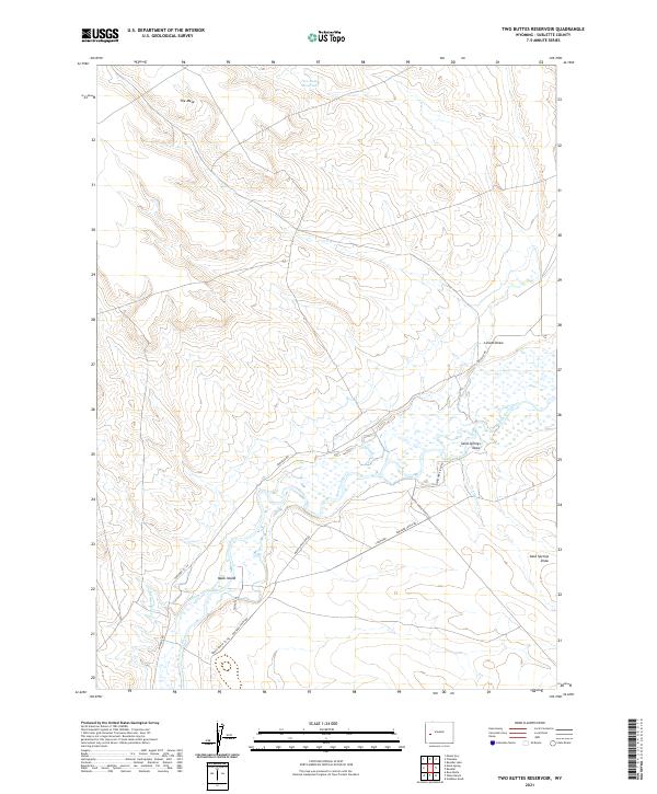
2021 Two Buttes Reservoir
Sublette County, WY
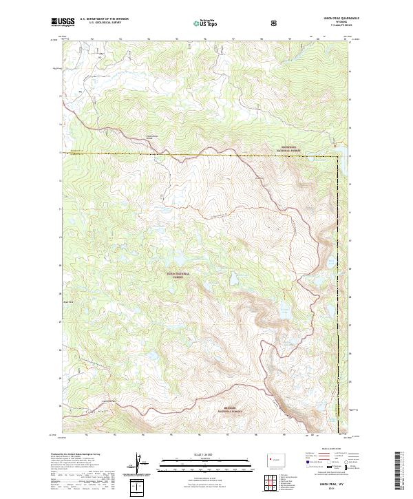
2021 Union Peak
Sublette County, WY
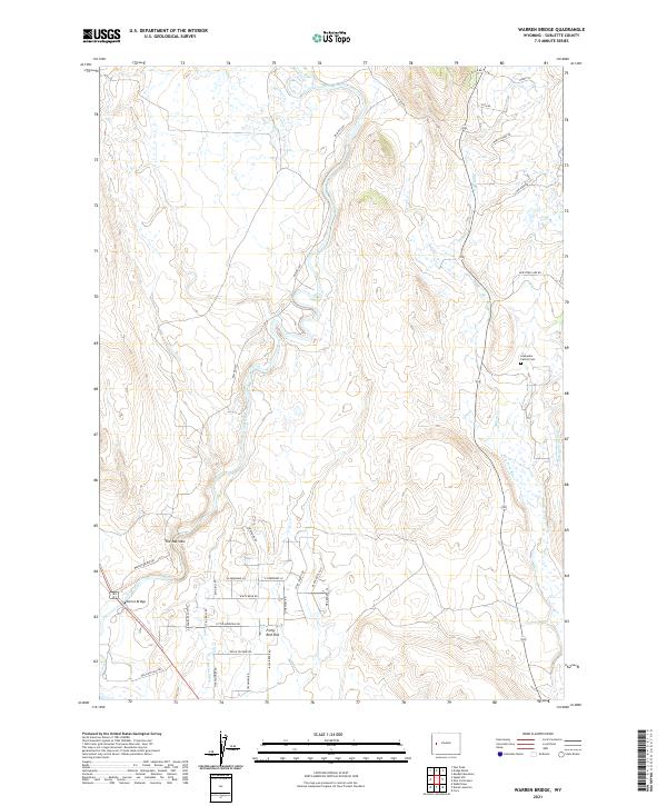
2021 Warren Bridge
Sublette County, WY
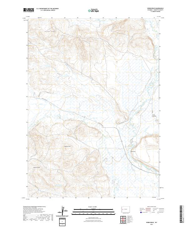
2021 Webb Draw
Sublette County, WY
2021 Wyoming Peak
Sublette County, WY
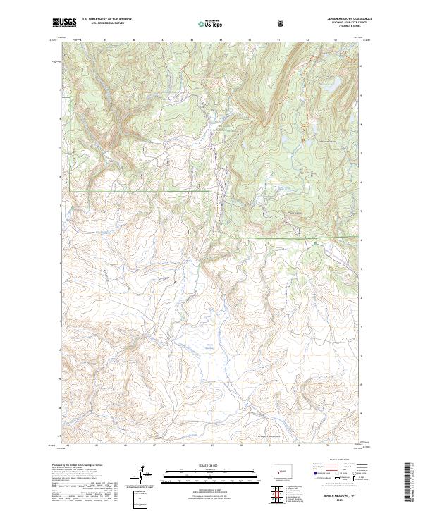
2023 Jensen Meadows
Sublette County, WY
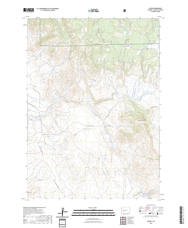
2023 Leckie
Sublette County, WY
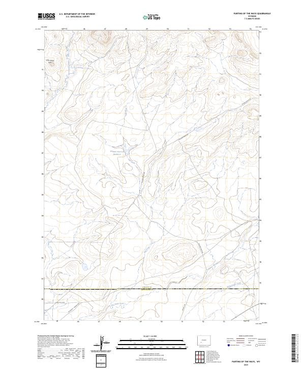
2023 Parting of the Ways
Sublette County, WY
2023 Temple Peak
Sublette County, WY