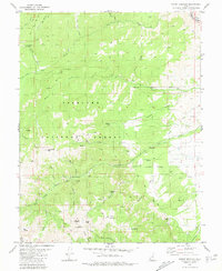
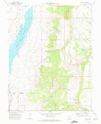
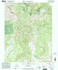
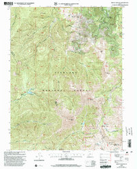
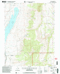
1980 Map of Mount Brigham
USGS Topo · Published 1981This historical map portrays the area of Mount Brigham in 1980, primarily covering Piute County as well as portions of Beaver County. Featuring a scale of 1:24000, this map provides a highly detailed snapshot of the terrain, roads, buildings, counties, and historical landmarks in the Mount Brigham region at the time. Published in 1981, it is one of 2 known editions of this map due to revisions or reprints.
Find a feature on this map
53 named features on this map. Tap any name to fly to it.
Don’t see what you’re looking for? This feature index may not catch every label — zoom into the map to look around manually.
Map Details
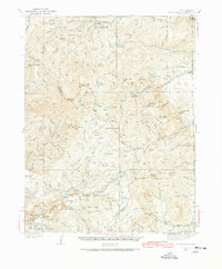
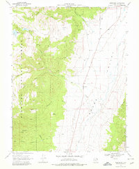
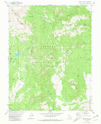
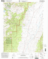
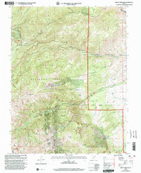
Editions of this 1980 Mount Brigham Map
2 editions found
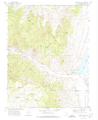
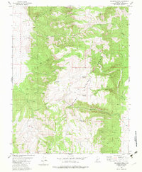
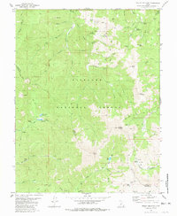
Historical Maps of Piute County Through Time
22 maps found
1937 Delano Peak
Piute County, UT

1943 Delano Peak
Piute County, UT
1969 Greenwich
Piute County, UT
1969 Parker Knoll
Piute County, UT
1970 Angle
Piute County, UT
1971 Phonolite Hill
Piute County, UT
1980 Malmsten Peak
Piute County, UT
1980 Mount Belknap
Piute County, UT
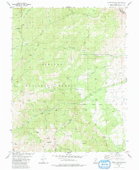
1980 Mount Brigham
Piute County, UT
1981 Delano Peak
Piute County, UT
1981 Marysvale Peak
Piute County, UT
1981 Piute Reservoir
Piute County, UT
2001 Delano Peak
Piute County, UT
2001 Greenwich
Piute County, UT
2001 Malmsten Peak
Piute County, UT
2001 Marysvale Peak
Piute County, UT
2001 Mount Belknap
Piute County, UT
2001 Mount Brigham
Piute County, UT
2001 Parker Knoll
Piute County, UT
2001 Piute Reservoir
Piute County, UT
2002 Angle
Piute County, UT
2002 Phonolite Hill
Piute County, UT