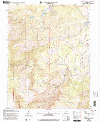
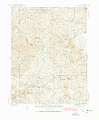
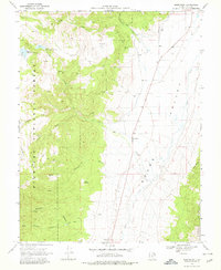
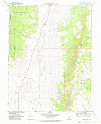
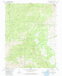
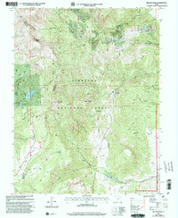
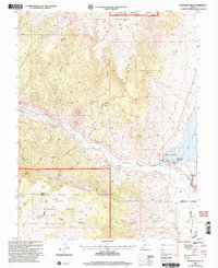
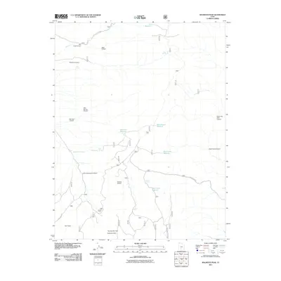
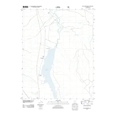
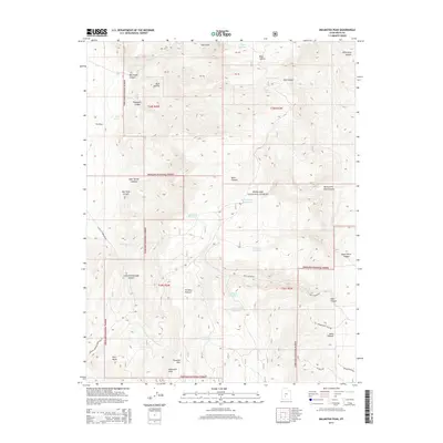
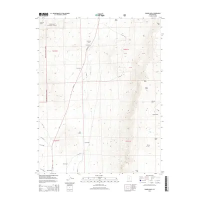
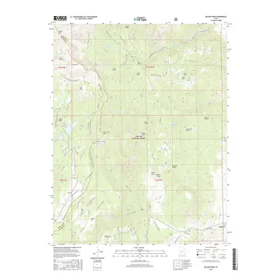
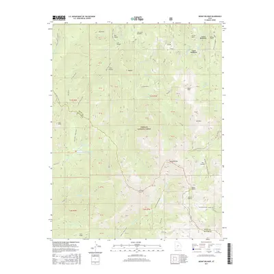
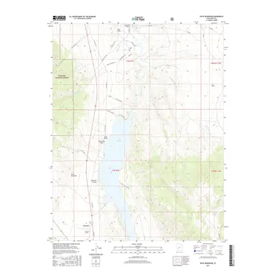
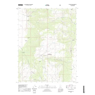
2001 Map of Marysvale Peak
USGS Topo · Published 2003About this map
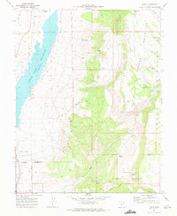
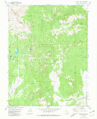
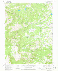
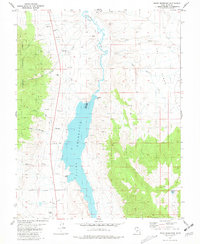
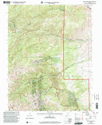
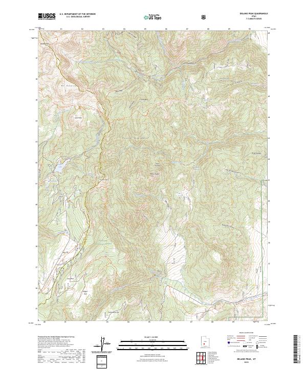
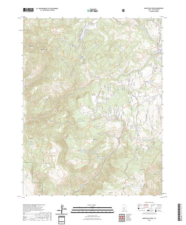
Marysvale Peak and the surrounding high-elevation terrain of Fishlake National Forest dominate this 2001 revision, which captures a landscape defined by water management and mineral extraction. The rugged topography is dotted with human interventions, from the Blackbird Mine and a high-altitude Sawmill to an extensive network of 4WD trails that navigate between Miners Ridge and Windy Ridge. A sophisticated system of reservoirs and springs, including Manning Meadows Reservoir, Big Flat Reservoir, and Upper Box Creek Reservoir, highlights the critical role of water storage in this part of Piute County.
Find a feature on this map
67 named features on this map. Tap any name to fly to it.
Don’t see what you’re looking for? This feature index may not catch every label — zoom into the map to look around manually.
Map Details
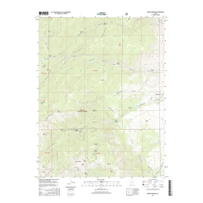
Editions of this 2001 Marysvale Peak Map
This is the sole edition of this map. No revisions or reprints were ever made.
Historical Maps of Piute County Through Time
72 maps found
1937 Delano Peak
Piute County, UT

1943 Delano Peak
Piute County, UT
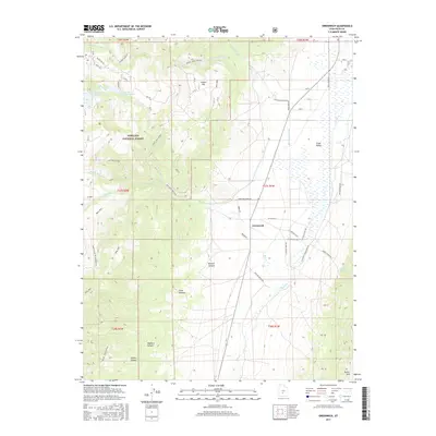
1969 Greenwich
Piute County, UT
1969 Parker Knoll
Piute County, UT
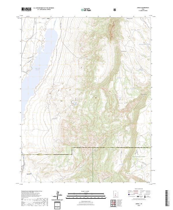
1970 Angle
Piute County, UT
1971 Phonolite Hill
Piute County, UT
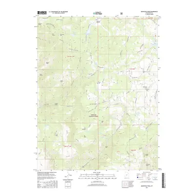
1980 Malmsten Peak
Piute County, UT
1980 Mount Belknap
Piute County, UT
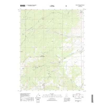
1980 Mount Brigham
Piute County, UT
1981 Delano Peak
Piute County, UT
1981 Marysvale Peak
Piute County, UT
1981 Piute Reservoir
Piute County, UT
2001 Delano Peak
Piute County, UT
2001 Greenwich
Piute County, UT
2001 Malmsten Peak
Piute County, UT
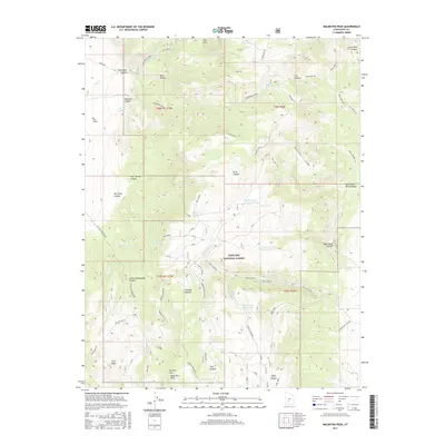
2001 Marysvale Peak
Piute County, UT
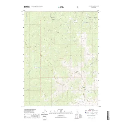
2001 Mount Belknap
Piute County, UT
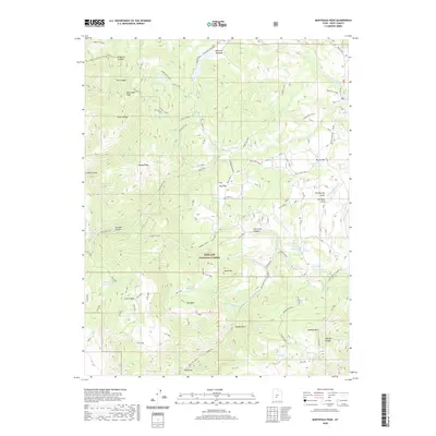
2001 Mount Brigham
Piute County, UT
2001 Parker Knoll
Piute County, UT
2001 Piute Reservoir
Piute County, UT
2002 Angle
Piute County, UT
2002 Phonolite Hill
Piute County, UT
2011 Angle
Piute County, UT
2011 Delano Peak
Piute County, UT
2011 Greenwich
Piute County, UT
2011 Malmsten Peak
Piute County, UT
2011 Marysvale Peak
Piute County, UT

2011 Mount Belknap
Piute County, UT
2011 Mount Brigham
Piute County, UT
2011 Parker Knoll
Piute County, UT

2011 Phonolite Hill
Piute County, UT
2011 Piute Reservoir
Piute County, UT
2014 Angle
Piute County, UT
2014 Delano Peak
Piute County, UT
2014 Greenwich
Piute County, UT
2014 Malmsten Peak
Piute County, UT
2014 Marysvale Peak
Piute County, UT
2014 Mount Belknap
Piute County, UT
2014 Mount Brigham
Piute County, UT
2014 Parker Knoll
Piute County, UT
2014 Phonolite Hill
Piute County, UT
2014 Piute Reservoir
Piute County, UT
2017 Angle
Piute County, UT
2017 Delano Peak
Piute County, UT
2017 Greenwich
Piute County, UT
2017 Malmsten Peak
Piute County, UT
2017 Marysvale Peak
Piute County, UT
2017 Mount Belknap
Piute County, UT
2017 Mount Brigham
Piute County, UT
2017 Parker Knoll
Piute County, UT
2017 Phonolite Hill
Piute County, UT
2017 Piute Reservoir
Piute County, UT
2020 Angle
Piute County, UT
2020 Delano Peak
Piute County, UT
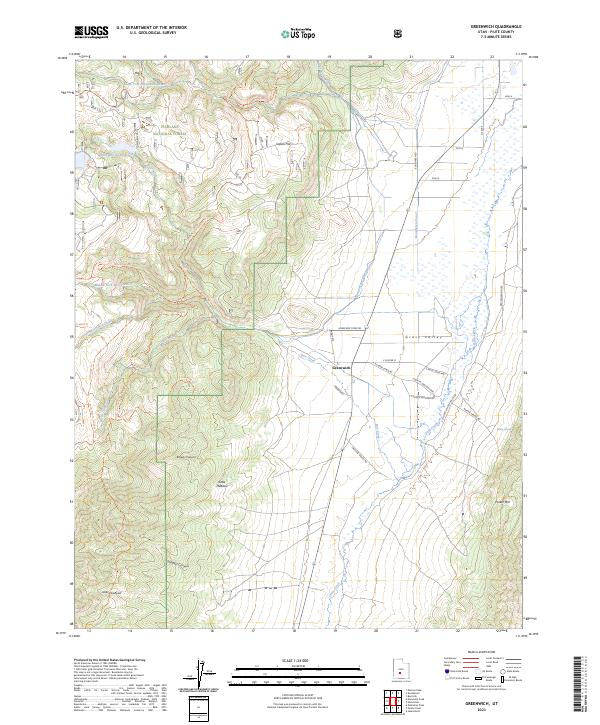
2020 Greenwich
Piute County, UT
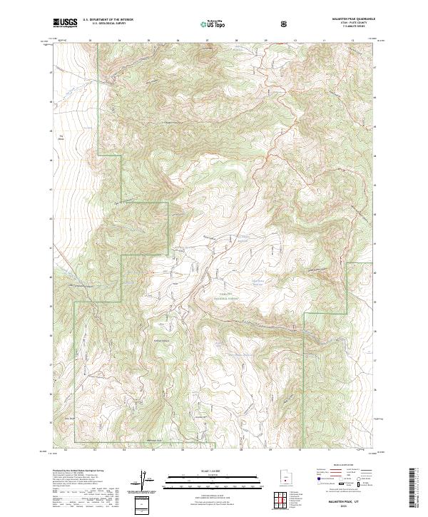
2020 Malmsten Peak
Piute County, UT
2020 Marysvale Peak
Piute County, UT
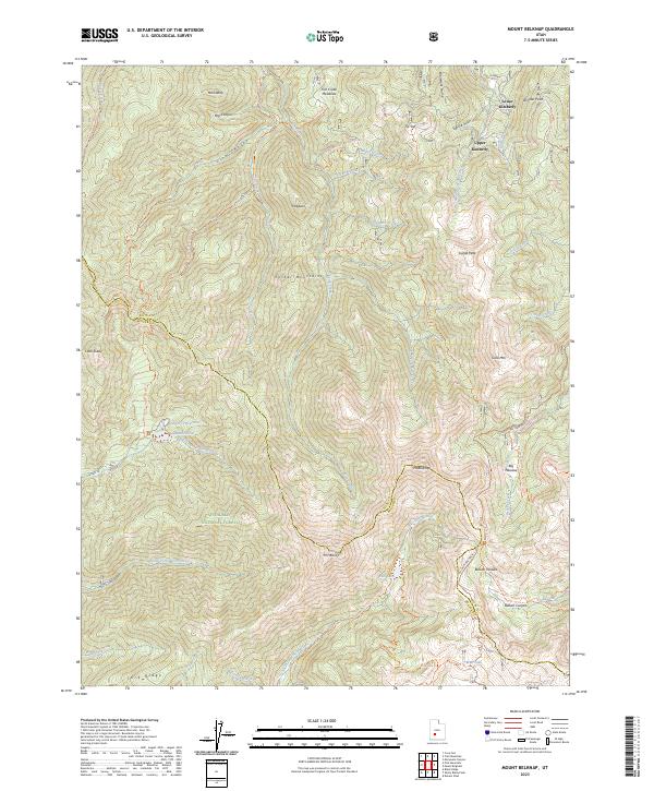
2020 Mount Belknap
Piute County, UT
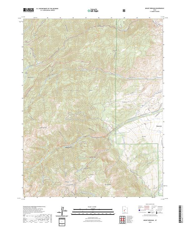
2020 Mount Brigham
Piute County, UT

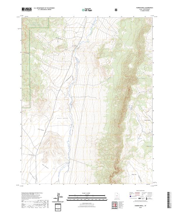
2020 Parker Knoll
Piute County, UT
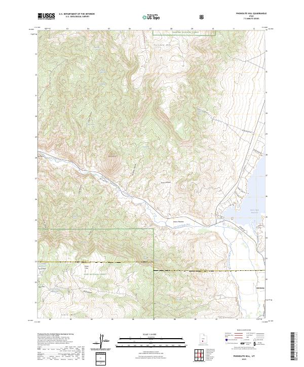
2020 Phonolite Hill
Piute County, UT
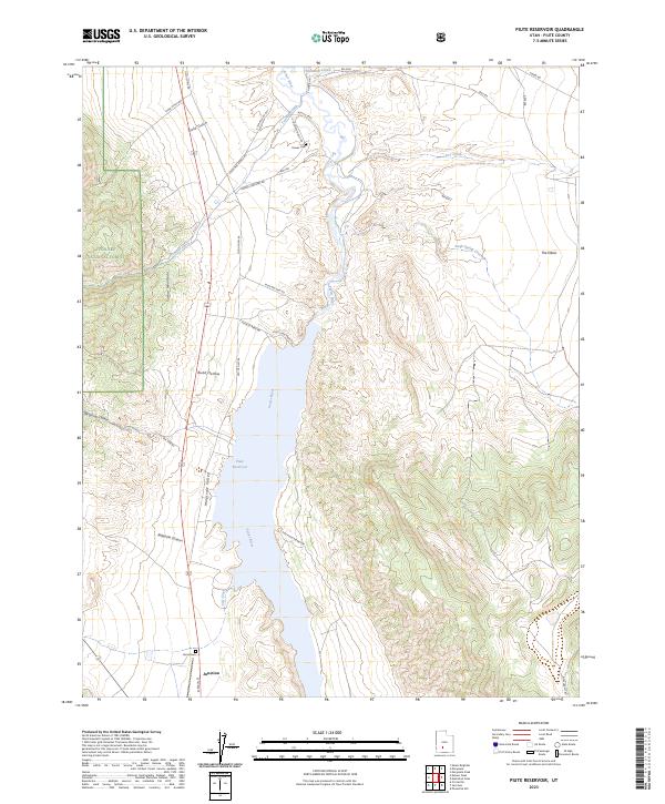
2020 Piute Reservoir
Piute County, UT
2023 Angle
Piute County, UT
2023 Delano Peak
Piute County, UT
2023 Greenwich
Piute County, UT
2023 Malmsten Peak
Piute County, UT
2023 Marysvale Peak
Piute County, UT
2023 Mount Belknap
Piute County, UT
2023 Mount Brigham
Piute County, UT
2023 Parker Knoll
Piute County, UT
2023 Phonolite Hill
Piute County, UT
2023 Piute Reservoir
Piute County, UT