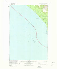
1961 Map of Mount Fairweather C-6
USGS Topo · Published 1975About this map
Glacier Bay National Monument borders the open waters of the Gulf of Alaska in this 1961 field-annotated survey. The coastal geography is defined by an indefinite boundary running offshore, where soundings reveal the shifting depths of the seafloor. Along the shoreline, several drainage systems including Justice Creek, Echo Creek, and Eagle Creek descend from the steep interior towards the ocean.
Find a feature on this map
9 named features on this map. Tap any name to fly to it.
Don’t see what you’re looking for? This feature index may not catch every label — zoom into the map to look around manually.
Map Details
Editions of this 1961 Mount Fairweather C-6 Map
2 editions found
Other maps of this area

1951 · Mt Fairweather
USGS Topo · 1:250,000
1961 · Mount Fairweather D-7
USGS Topo · 1:63,360

1961 · Mount Fairweather D-6
USGS Topo · 1:63,360

1961 · Mount Fairweather D-5
USGS Topo · 1:63,360
1961 · Mount Fairweather C-6
USGS Topo · 1:63,360

1961 · Mount Fairweather C-5
USGS Topo · 1:63,360

1961 · Mt Fairweather
USGS Topo · 1:250,000
2017 · Mount Fairweather D-6 SW
USGS Topo · 1:25,000
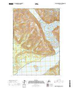
2017 · Mount Fairweather C-5 NW
USGS Topo · 1:25,000
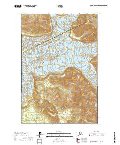
2017 · Mount Fairweather D-6 SE
USGS Topo · 1:25,000