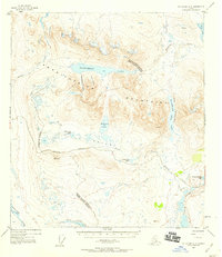
1952 Map of Mount Hayes A-5
USGS Topo · Published 1959About this map
The Amphitheater Mountains dominate this high-altitude Alaskan landscape, where the Denali Highway winds through a vast network of glacial valleys and alpine basins. At the time of this 1952 topographic study, the road serves as the primary artery through the region, passing just south of Glacier Lake and the dramatic natural passage of Landmark Gap. The terrain is characterized by intricate water systems, including the Sevenmile Lake and the connected chain of the Tangle Lakes in the southeast corner.
Find a feature on this map
23 named features on this map. Tap any name to fly to it.
Don’t see what you’re looking for? This feature index may not catch every label — zoom into the map to look around manually.
Map Details
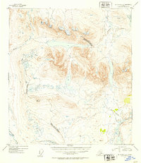
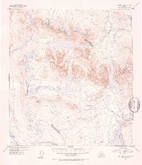
Editions of this 1952 Mount Hayes A-5 Map
3 editions found
Other maps of this area

1949 · Mount Hayes A-4
USGS Topo · 1:63,360

1949 · Mount Hayes A-5
USGS Topo · 1:63,360

1950 · Mount Hayes
USGS Topo · 1:250,000

1950 · Gulkana D-4
USGS Topo · 1:63,360

1950 · Mount Hayes A-6
USGS Topo · 1:63,360

1951 · Gulkana
USGS Topo · 1:250,000

1951 · Mount Hayes
USGS Topo · 1:250,000

1951 · Gulkana D-6
USGS Topo · 1:63,360

1951 · Mount Hayes B-6
USGS Topo · 1:63,360

1951 · Mt. Hayes B-5
USGS Topo · 1:63,360