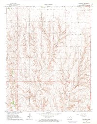
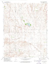
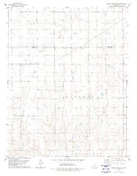
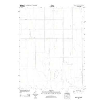
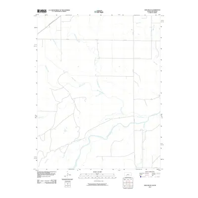
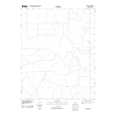
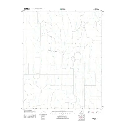
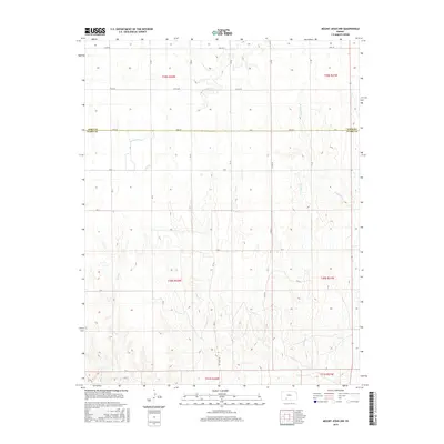
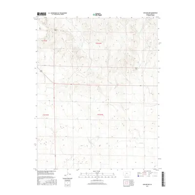
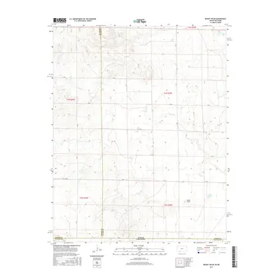
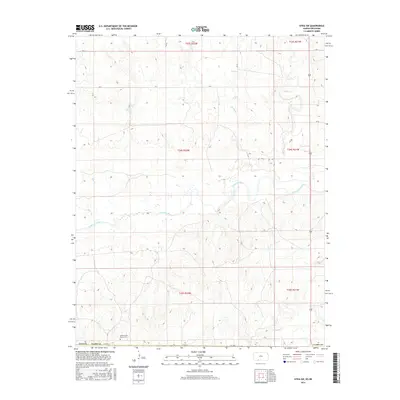
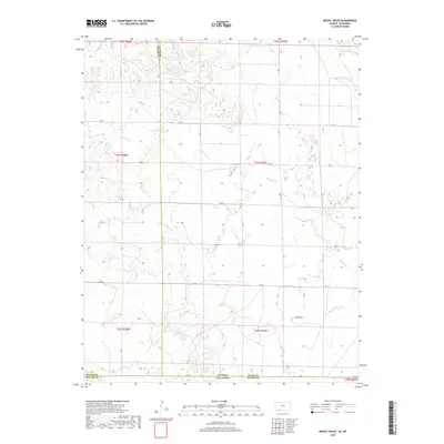
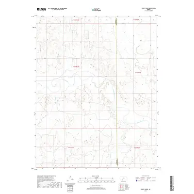
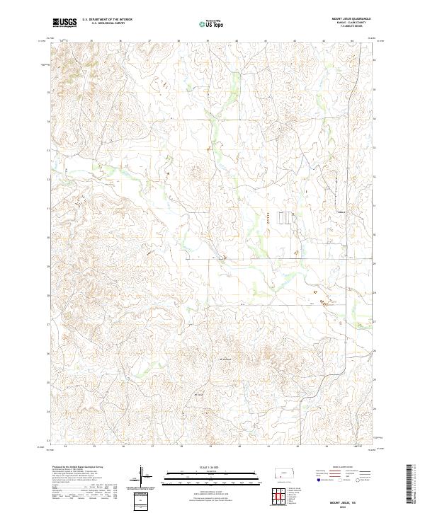
1979 Map of Mount Jesus
USGS Topo · Published 1986About this map
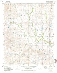
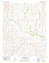
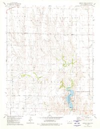
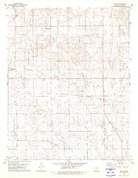
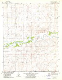
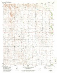
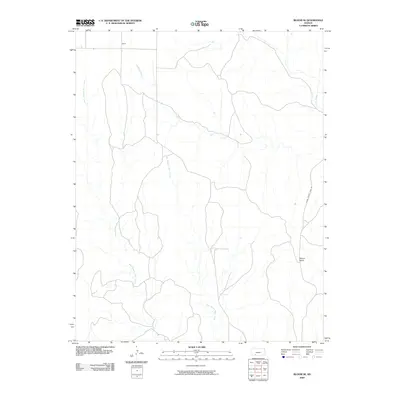
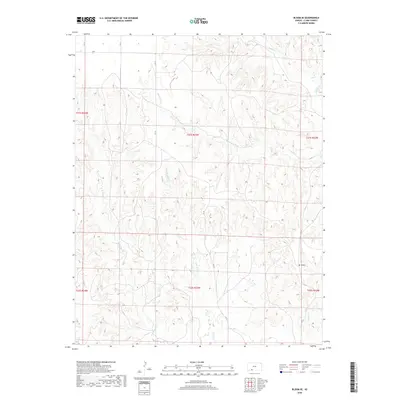
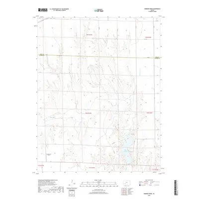
Mount Jesus and Mount Lookout rise above the complex drainage network of Clark County, defining the high points of this prairie landscape in the late 1970s. The terrain is deeply etched by a system of tributaries including Bluff Creek, Fish Creek, and Granger Creek, which dictate the placement of ranching infrastructure across the townships of Appleton, Lexington, and Center.
Find a feature on this map
22 named features on this map. Tap any name to fly to it.
Don’t see what you’re looking for? This feature index may not catch every label — zoom into the map to look around manually.
Map Details
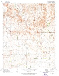
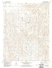
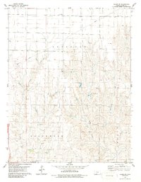
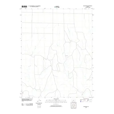
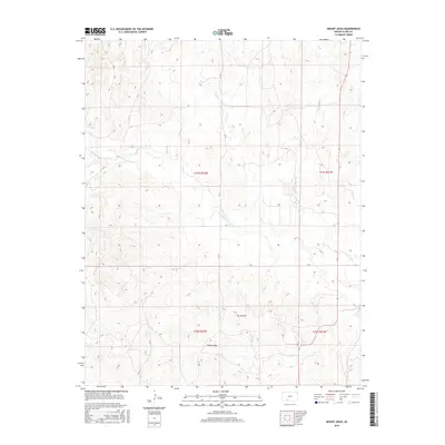
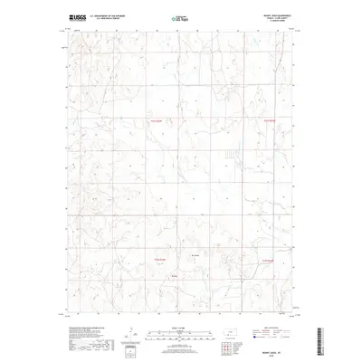
Editions of this 1979 Mount Jesus Map
2 editions found
Historical Maps of Clark County Through Time
97 maps found
1894 Sitka
Clark County, KS
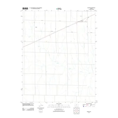
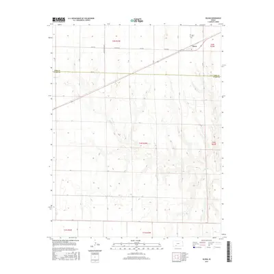
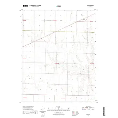
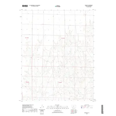
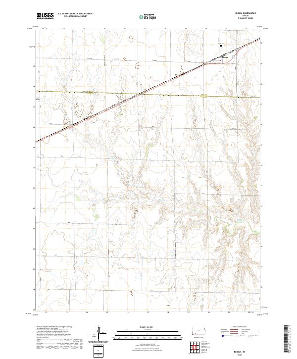
1967 Bloom
Clark County, KS
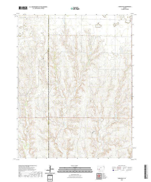
1967 Fowler SE
Clark County, KS
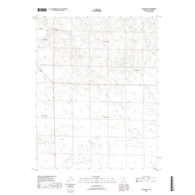
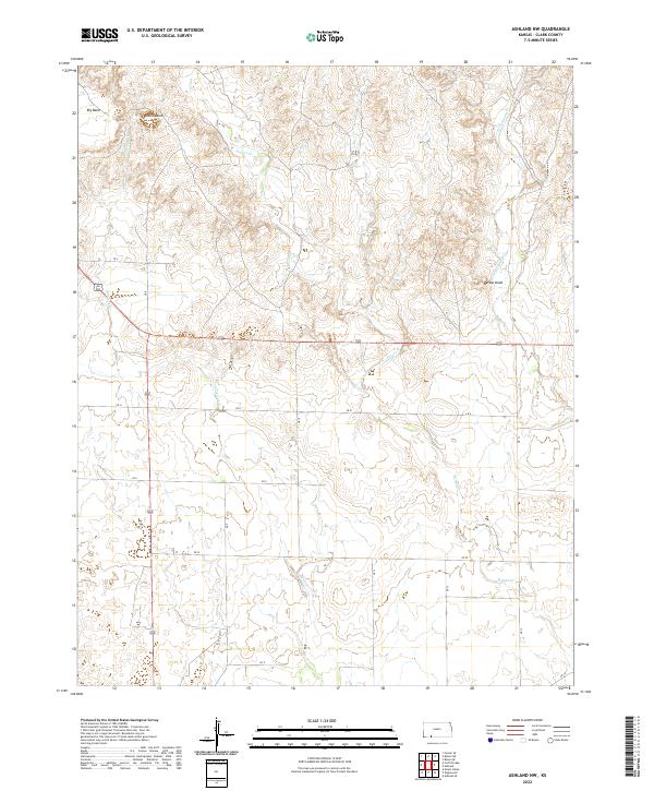
1972 Ashland NW
Clark County, KS
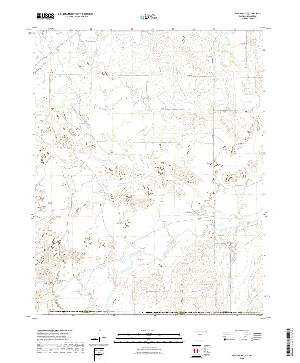
1972 Ashland SE
Clark County, KS
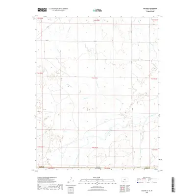
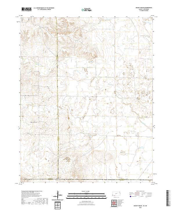
1972 Mount Helen
Clark County, KS
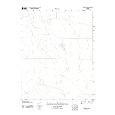
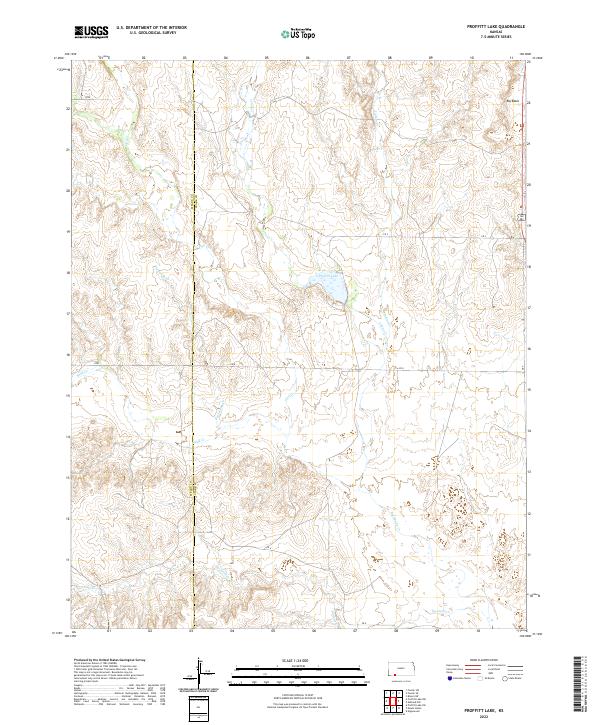
1972 Proffitt Lake
Clark County, KS
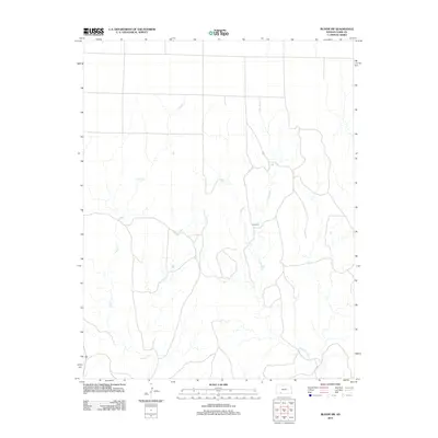
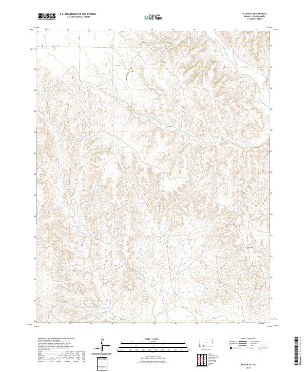
1979 Bloom SE
Clark County, KS
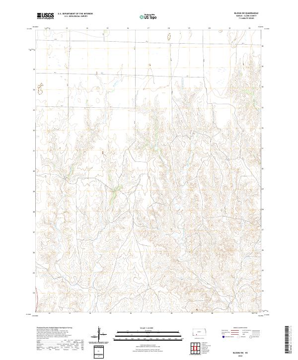
1979 Bloom SW
Clark County, KS
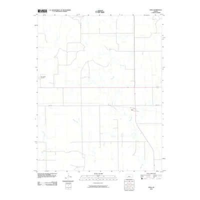
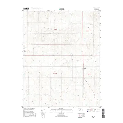
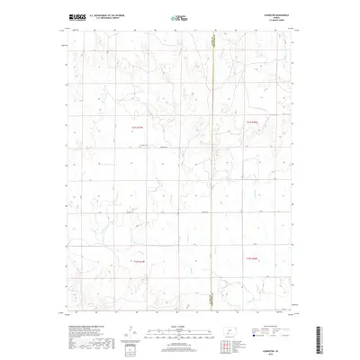
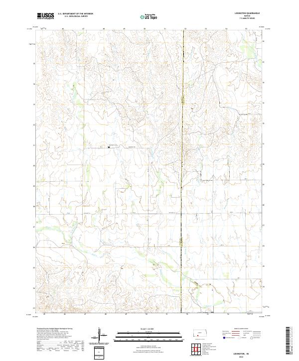
1979 Lexington
Clark County, KS
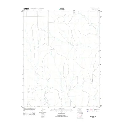
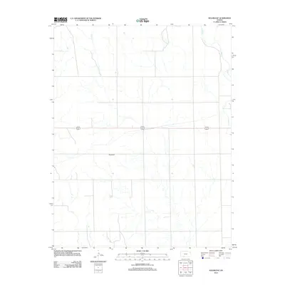
1979 Mount Jesus
Clark County, KS
1979 Mount Jesus NW
Clark County, KS
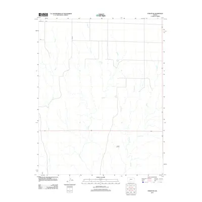
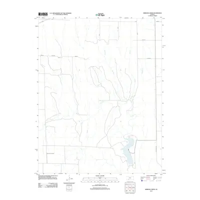
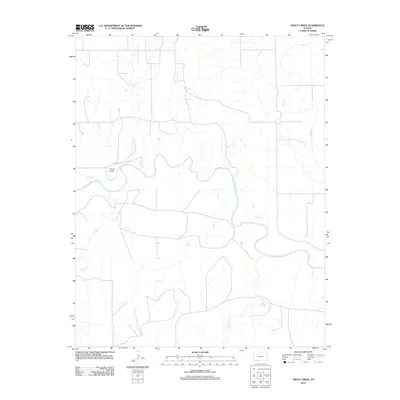
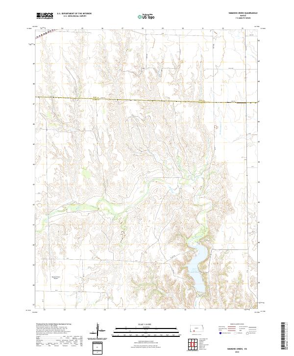
1979 Simmons Creek
Clark County, KS
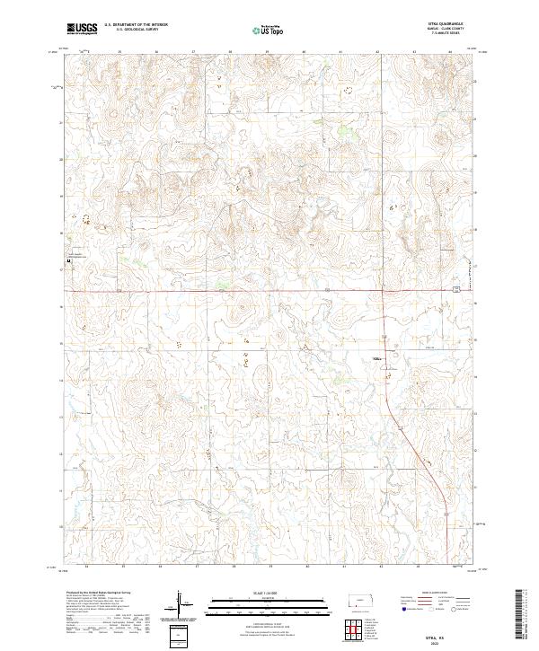
1979 Sitka
Clark County, KS
1979 Sitka SW
Clark County, KS
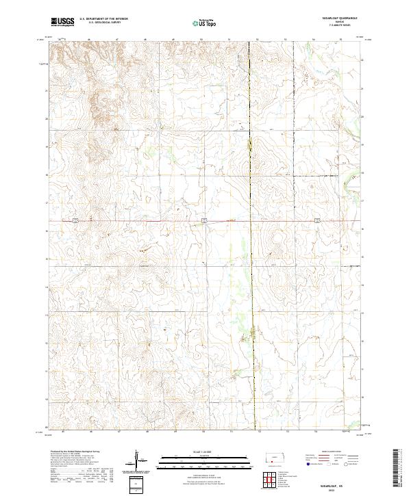
1979 Sugarloaf
Clark County, KS
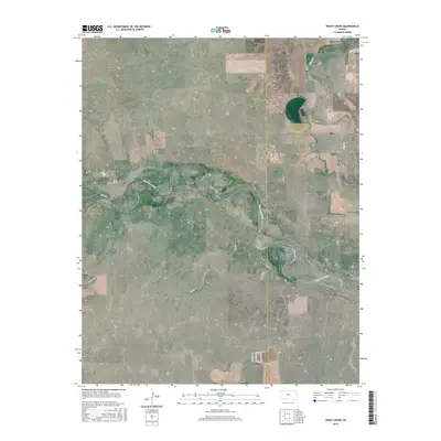
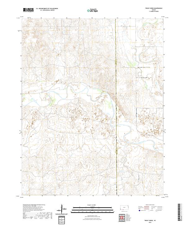
1979 Trout Creek
Clark County, KS
2009 Ashland NW
Clark County, KS
2009 Bloom
Clark County, KS
2009 Bloom SE
Clark County, KS
2009 Bloom SW
Clark County, KS
2009 Lexington
Clark County, KS
2009 Mount Jesus
Clark County, KS
2009 Mount Jesus NW
Clark County, KS
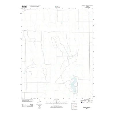
2009 Simmons Creek
Clark County, KS
2009 Sitka
Clark County, KS
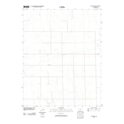
2009 Sugarloaf
Clark County, KS
2010 Ashland SE
Clark County, KS
2010 Fowler SE
Clark County, KS
2010 Mount Helen
Clark County, KS
2010 Proffitt Lake
Clark County, KS
2010 Sitka SW
Clark County, KS
2010 Trout Creek
Clark County, KS
2012 Ashland NW
Clark County, KS
2012 Ashland SE
Clark County, KS
2012 Bloom
Clark County, KS
2012 Bloom SE
Clark County, KS
2012 Bloom SW
Clark County, KS
2012 Fowler SE
Clark County, KS
2012 Lexington
Clark County, KS
2012 Mount Helen
Clark County, KS
2012 Mount Jesus
Clark County, KS
2012 Mount Jesus NW
Clark County, KS
2012 Proffitt Lake
Clark County, KS
2012 Simmons Creek
Clark County, KS
2012 Sitka
Clark County, KS
2012 Sitka SW
Clark County, KS
2012 Sugarloaf
Clark County, KS
2012 Trout Creek
Clark County, KS
2015 Bloom
Clark County, KS
2015 Bloom SE
Clark County, KS
2015 Mount Jesus NW
Clark County, KS
2015 Sitka
Clark County, KS
2015 Sugarloaf
Clark County, KS
2015 Trout Creek
Clark County, KS
2016 Ashland NW
Clark County, KS
2016 Ashland SE
Clark County, KS
2016 Bloom SW
Clark County, KS

2016 Fowler SE
Clark County, KS
2016 Lexington
Clark County, KS
2016 Mount Helen
Clark County, KS
2016 Mount Jesus
Clark County, KS
2016 Proffitt Lake
Clark County, KS
2016 Simmons Creek
Clark County, KS
2016 Sitka SW
Clark County, KS
2018 Ashland NW
Clark County, KS
2018 Ashland SE
Clark County, KS
2018 Bloom
Clark County, KS
2018 Bloom SE
Clark County, KS
2018 Bloom SW
Clark County, KS
2018 Fowler SE
Clark County, KS
2018 Lexington
Clark County, KS
2018 Mount Helen
Clark County, KS
2018 Mount Jesus
Clark County, KS
2018 Mount Jesus NW
Clark County, KS
2018 Proffitt Lake
Clark County, KS
2018 Simmons Creek
Clark County, KS
2018 Sitka
Clark County, KS
2018 Sitka SW
Clark County, KS
2018 Sugarloaf
Clark County, KS
2018 Trout Creek
Clark County, KS
2022 Ashland NW
Clark County, KS
2022 Ashland SE
Clark County, KS
2022 Bloom
Clark County, KS
2022 Bloom SE
Clark County, KS
2022 Bloom SW
Clark County, KS
2022 Fowler SE
Clark County, KS
2022 Lexington
Clark County, KS
2022 Mount Helen
Clark County, KS
2022 Mount Jesus
Clark County, KS
2022 Mount Jesus NW
Clark County, KS
2022 Proffitt Lake
Clark County, KS
2022 Simmons Creek
Clark County, KS
2022 Sitka
Clark County, KS
2022 Sitka SW
Clark County, KS
2022 Sugarloaf
Clark County, KS
2022 Trout Creek
Clark County, KS