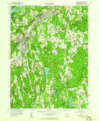
1955 Map of Mount Kisco
USGS Topo · Published 1961About this map
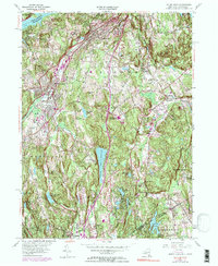
Mount Kisco serves as a primary hub of development in this mid-century landscape, where the Central New York rail line parallels the Saw Mill River Parkway to the north. The area is defined by a series of significant water bodies, from the New Croton Reservoir in the northwest to the large Byram Lake Reservoir at the center. Cultural and institutional landmarks are prevalent throughout, including the Montefiore Sanitarium and the Bedford Rippowam Sch. The eastern portions of the map toward Bedford and Banksville show a transition toward large private estates and recreation, evidenced by the Bedford Golf and Tennis Club and Middle Patent Golf Course. Genealogists will find numerous burial sites of interest, ranging from the large Oakwood Cem to the secluded Old Quaker Burial Ground near the Connecticut border.
Find a feature on this map
75 named features on this map. Tap any name to fly to it.
Don’t see what you’re looking for? This feature index may not catch every label — zoom into the map to look around manually.
Map Details
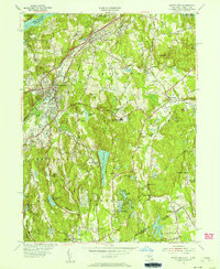
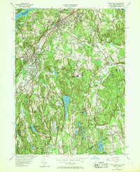
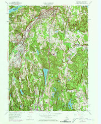
Editions of this 1955 Mount Kisco Map
5 editions found
Other maps of this area

1892 · Stamford
USGS Topo · 1:62,500

1892 · West Point
USGS Topo · 1:62,500

1892 · Carmel
USGS Topo · 1:62,500

1892 · Tarrytown
USGS Topo · 1:62,500

1893 · Carmel
USGS Topo · 1:62,500

1893 · Stamford
USGS Topo · 1:62,500

1893 · Tarrytown
USGS Topo · 1:62,500

1894 · West Point
USGS Topo · 1:62,500

1894 · Carmel
USGS Topo · 1:62,500

1899 · Stamford
USGS Topo · 1:62,500