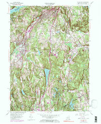
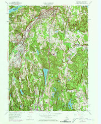
1955 Map of Mount Kisco
USGS Topo · Published 1990About this map
Bedford Hills and Mount Kisco anchor this mid-century landscape where suburban expansion meets institutional landmarks. The northern reaches are dominated by the New Croton Reservoir, while the central terrain features significant water bodies like Byram Lake Reservoir and Wampus Lake Reservoir. A notable local landmark is the Montefiore Sanatorium, situated near the Penn Central rail line that served as a vital transportation artery through Westchester County.
Find a feature on this map
60 named features on this map. Tap any name to fly to it.
Don’t see what you’re looking for? This feature index may not catch every label — zoom into the map to look around manually.
Map Details
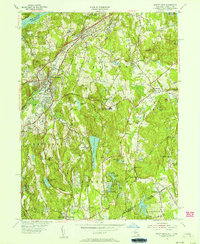
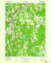
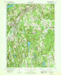
Editions of this 1955 Mount Kisco Map
5 editions found
Other maps of this area

1892 · Stamford
USGS Topo · 1:62,500

1892 · West Point
USGS Topo · 1:62,500

1892 · Carmel
USGS Topo · 1:62,500

1892 · Tarrytown
USGS Topo · 1:62,500

1893 · Carmel
USGS Topo · 1:62,500

1893 · Stamford
USGS Topo · 1:62,500

1893 · Tarrytown
USGS Topo · 1:62,500

1894 · West Point
USGS Topo · 1:62,500

1894 · Carmel
USGS Topo · 1:62,500

1899 · Stamford
USGS Topo · 1:62,500