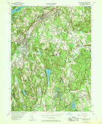
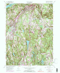
1955 Map of Mount Kisco
USGS Topo · Published 1968About this map
The hills and valleys along the New York Connecticut border are defined here by a series of significant reservoirs and country estates during the mid-1950s. The village of Mount Kisco serves as a primary hub, while the Central New York Line railroad facilitates transport through Bedford Hills and toward the New Croton Reservoir. This landscape is particularly dense with civic and social institutions, including several country clubs and the Montefiore Sanitarium.
Find a feature on this map
65 named features on this map. Tap any name to fly to it.
Don’t see what you’re looking for? This feature index may not catch every label — zoom into the map to look around manually.
Map Details
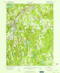
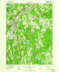
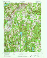
Editions of this 1955 Mount Kisco Map
5 editions found
Other maps of this area

1892 · Stamford
USGS Topo · 1:62,500

1892 · West Point
USGS Topo · 1:62,500

1892 · Carmel
USGS Topo · 1:62,500

1892 · Tarrytown
USGS Topo · 1:62,500

1893 · Carmel
USGS Topo · 1:62,500

1893 · Stamford
USGS Topo · 1:62,500

1893 · Tarrytown
USGS Topo · 1:62,500

1894 · West Point
USGS Topo · 1:62,500

1894 · Carmel
USGS Topo · 1:62,500

1899 · Stamford
USGS Topo · 1:62,500