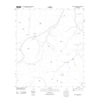
2012 Map of Mount Livermore
USGS Topo · Published 2012About this map
Mt Livermore and the surrounding high-desert peaks of the Davis Mountains define this remote West Texas landscape. The 2012 survey illustrates a ranching economy dependent on dispersed water sources, marked by numerous isolated structures such as Reynolds Windmill, McDaniel Windmill, and the Rockpile House Windmill. These landmarks, along with various water catchments like Beef Pasture Tank and Madera Tank, trace the survival and management of the arid terrain. Natural crossings and dramatic formations, including Lockes Gap, Bridge Gap, and The Rockpile, provide essential orientation points across the rugged elevations. The presence of Limpia Spring and Limpia Cr in the southeast corner indicates the few perennial water features that historically supported travel and settlement in this corner of Jeff Davis County.
Find a feature on this map
47 named features on this map. Tap any name to fly to it.
Don’t see what you’re looking for? This feature index may not catch every label — zoom into the map to look around manually.
Map Details
Editions of this 2012 Mount Livermore Map
This is the sole edition of this map. No revisions or reprints were ever made.
Other maps of this area

1894 · Valentine
USGS Topo · 1:125,000

1897 · Valentine
USGS Topo · 1:125,000

1943 · Valentine
USGS Topo · 1:125,000

1959 · Marfa
USGS Topo · 1:250,000

1965 · Marfa
USGS Topo · 1:250,000
1978 · Bare Mountain
USGS Topo · 1:24,000
1978 · Friend Mountain
USGS Topo · 1:24,000
1978 · Blue Mountain
USGS Topo · 1:24,000
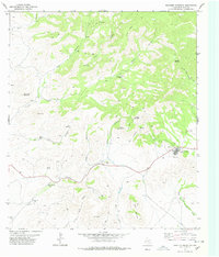
1978 · Paradise Mountain
USGS Topo · 1:24,000
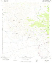
1978 · El Muerto Peak
USGS Topo · 1:24,000