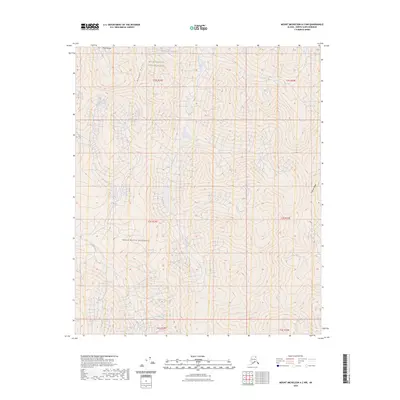
2023 Map of Mount Michelson A-2 NW
USGS Topo · Published 2023About this map
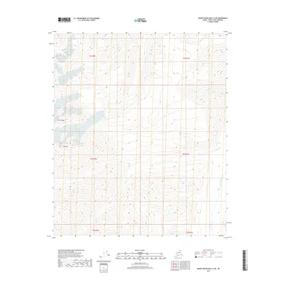
Mollie Beattie Wilderness and the surrounding Arctic National Wildlife Refuge define this northern interior landscape, situated in a remote section of Alaska's North Slope. The terrain is characterized by the high elevations of the Mary Range and the prominent Kulavok Ridge at the eastern edge. This environment is shaped by complex drainage systems, where Carnivore Creek and Franklin Creek carve through the mountain slopes. The survey shows a landscape largely untouched by infrastructure, highlighting natural landmarks such as Weasel Point. The map serves as a primary record of this protected wilderness area, documenting the hydrography and topography of the Brooks Range foothills where permanent settlements are absent and the wilderness remains in its natural state.
Find a feature on this map
13 named features on this map. Tap any name to fly to it.
Don’t see what you’re looking for? This feature index may not catch every label — zoom into the map to look around manually.
Map Details
Editions of this 2023 Mount Michelson A-2 NW Map
This is the sole edition of this map. No revisions or reprints were ever made.
Other maps of this area

1951 · Mt. Michelson
USGS Topo · 1:250,000

1956 · Mt. Michelson
USGS Topo · 1:250,000

1956 · Mount Michelson B-2
USGS Topo · 1:63,360

1956 · Mount Michelson B-3
USGS Topo · 1:63,360

1983 · Mount Michelson A-3
USGS Topo · 1:63,360

1983 · Mount Michelson A-2
USGS Topo · 1:63,360
2018 · Mount Michelson B-2 SE
USGS Topo · 1:25,000
2018 · Mount Michelson B-2 SW
USGS Topo · 1:25,000
2018 · Mount Michelson A-2 NW
USGS Topo · 1:25,000
2018 · Mount Michelson A-2 NE
USGS Topo · 1:25,000