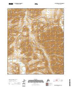
2018 Map of Mount Michelson A-5 NE
USGS Topo · Published 2018About this map
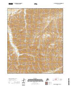
Pogopuk Cr and Juniper Cr weave through this section of the North Slope, draining a high-relief landscape defined by steep ridges and deep valleys. This 2018 survey by the U.S. Geological Survey captures the intricate drainage patterns where these creeks converge, while the Kavik River cuts through the northeastern corner of the map. The geography is dominated by complex terrain where the Brooks Range foothills begin to descend, characterized by sharp elevation changes shown through detailed 40-foot contours. The map primarily documents the natural hydrography and public land survey boundaries, including the intersections of t3s r23e and t2s r23e, illustrating the remote wilderness of the North Slope Borough before any major modern industrial footprint reached these specific headwaters.
Find a feature on this map
12 named features on this map. Tap any name to fly to it.
Don’t see what you’re looking for? This feature index may not catch every label — zoom into the map to look around manually.
Map Details
Editions of this 2018 Mount Michelson A-5 NE Map
This is the sole edition of this map. No revisions or reprints were ever made.
Other maps of this area

1951 · Mt. Michelson
USGS Topo · 1:250,000

1956 · Mt. Michelson
USGS Topo · 1:250,000
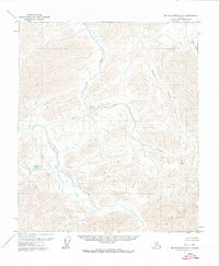
1971 · Mount Michelson A-5
USGS Topo · 1:63,360
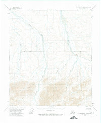
1971 · Mount Michelson B-5
USGS Topo · 1:63,360
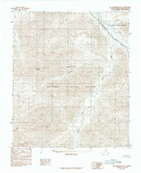
1983 · Mount Michelson A-4
USGS Topo · 1:63,360
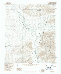
1983 · Mount Michelson B-4
USGS Topo · 1:63,360
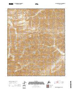
2018 · Mount Michelson A-4 SW
USGS Topo · 1:25,000
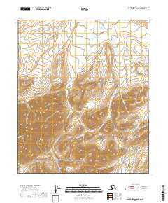
2018 · Mount Michelson B-5 SE
USGS Topo · 1:25,000
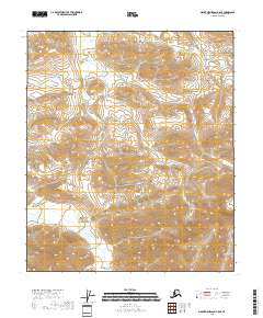
2018 · Mount Michelson A-5 SE
USGS Topo · 1:25,000
2018 · Mount Michelson A-4 NW
USGS Topo · 1:25,000