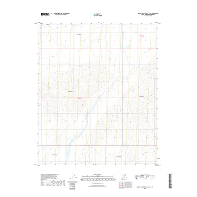
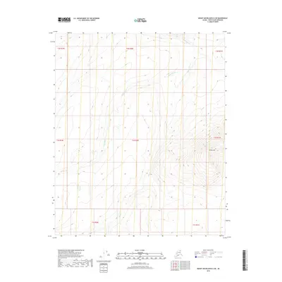
2018 Map of Mount Michelson B-1 NW
USGS Topo · Published 2018About this map
Kikiktat Mtn dominates the central terrain of this North Slope landscape, where the high-altitude topography of the Brooks Range begins its descent toward the arctic coastal plain. The Hulahula River carves a significant glacial valley through the center of the sheet, serving as the primary drainage for several alpine tributaries. Names like Old Woman Creek and Old Man Creek in the northern reaches, along with Esetuk Creek and Arctic Creek, suggest a landscape defined by its watercourses and indigenous geographic history. The survey illustrates a wilderness nearly untouched by permanent infrastructure, organized primarily by the Public Land Survey System townships such as t2n r31e and t1n r32e, providing a precise record of the natural elevations and hydrological patterns of this remote northern borough.
Find a feature on this map
12 named features on this map. Tap any name to fly to it.
Don’t see what you’re looking for? This feature index may not catch every label — zoom into the map to look around manually.
Map Details
Editions of this 2018 Mount Michelson B-1 NW Map
This is the sole edition of this map. No revisions or reprints were ever made.
Other maps of this area

1951 · Mt. Michelson
USGS Topo · 1:250,000

1955 · Mount Michelson B-1
USGS Topo · 1:63,360

1955 · Mount Michelson C-1
USGS Topo · 1:63,360

1955 · Mount Michelson C-2
USGS Topo · 1:63,360

1956 · Mt. Michelson
USGS Topo · 1:250,000

1956 · Mount Michelson B-2
USGS Topo · 1:63,360
2018 · Mount Michelson B-2 SE
USGS Topo · 1:25,000
2018 · Mount Michelson B-1 SW
USGS Topo · 1:25,000
2018 · Mount Michelson B-1 NE
USGS Topo · 1:25,000
2018 · Mount Michelson B-2 NE
USGS Topo · 1:25,000