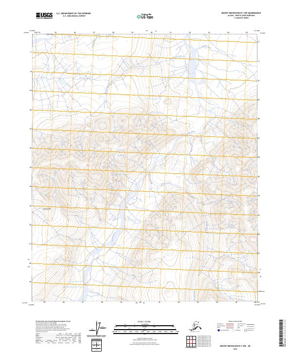
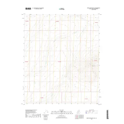
2023 Map of Mount Michelson B-1 NW
USGS Topo · Published 2023About this map
Arctic National Wildlife Refuge encompasses this section of the Brooks Range foothills, where the Hulahula River flows northward toward the Beaufort Sea. The landscape is defined by the high elevations of Kikiktat Mtn and a series of named watercourses, including Arctic Creek, Old Woman Creek, and Old Man Creek. These labels suggest a geography tied to local history and traditional naming conventions, preserved within the protected boundaries of the Mollie Beattie Wilderness. The absence of roads or permanent structures reflects the primitive state of this northern landscape, managed by the U.S. Fish and Wildlife Service. This 2023 survey provides a modern topographic baseline for the region, detailing the drainage patterns of Esetuk Creek as it feeds the river system.
Find a feature on this map
14 named features on this map. Tap any name to fly to it.
Don’t see what you’re looking for? This feature index may not catch every label — zoom into the map to look around manually.
Map Details
Editions of this 2023 Mount Michelson B-1 NW Map
This is the sole edition of this map. No revisions or reprints were ever made.
Other maps of this area

1951 · Mt. Michelson
USGS Topo · 1:250,000

1955 · Mount Michelson B-1
USGS Topo · 1:63,360

1955 · Mount Michelson C-1
USGS Topo · 1:63,360

1955 · Mount Michelson C-2
USGS Topo · 1:63,360

1956 · Mt. Michelson
USGS Topo · 1:250,000

1956 · Mount Michelson B-2
USGS Topo · 1:63,360
2018 · Mount Michelson B-2 SE
USGS Topo · 1:25,000
2018 · Mount Michelson B-1 SW
USGS Topo · 1:25,000
2018 · Mount Michelson B-1 NE
USGS Topo · 1:25,000
2018 · Mount Michelson B-2 NE
USGS Topo · 1:25,000