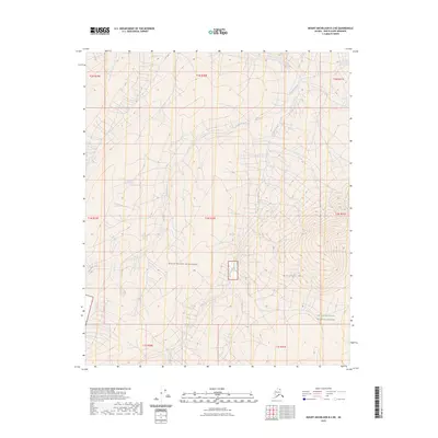
2023 Map of Mount Michelson B-2 NE
USGS Topo · Published 2023About this map
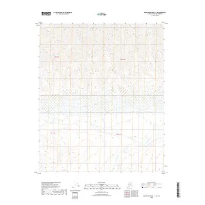
Mollie Beattie Wilderness defines the interior landscape of this North Slope quadrangle, where the high arctic terrain descends toward the Arctic National Wildlife Refuge. The drainage patterns of the Kekiktuk River and its tributary, Karen Creek, carve through the eastern foothills of the Brooks Range, illustrating the unpopulated character of this wilderness area. The elevation peaks at Kikiktat Mtn, a prominent landmark that overlooks the river valleys. This 2023 edition uses U.S. Geological Survey data to map the complex contour lines and hydrological features of the Alaska interior, providing an essential record of a place where topography is the only permanent marker.
Find a feature on this map
13 named features on this map. Tap any name to fly to it.
Don’t see what you’re looking for? This feature index may not catch every label — zoom into the map to look around manually.
Map Details
Editions of this 2023 Mount Michelson B-2 NE Map
This is the sole edition of this map. No revisions or reprints were ever made.
Other maps of this area

1951 · Mt. Michelson
USGS Topo · 1:250,000

1955 · Mount Michelson B-1
USGS Topo · 1:63,360

1955 · Mount Michelson C-1
USGS Topo · 1:63,360

1955 · Mount Michelson C-2
USGS Topo · 1:63,360

1956 · Mt. Michelson
USGS Topo · 1:250,000

1956 · Mount Michelson B-2
USGS Topo · 1:63,360
2018 · Mount Michelson B-2 SE
USGS Topo · 1:25,000
2018 · Mount Michelson B-2 SW
USGS Topo · 1:25,000
2018 · Mount Michelson B-1 SW
USGS Topo · 1:25,000
2018 · Mount Michelson C-2 SW
USGS Topo · 1:25,000