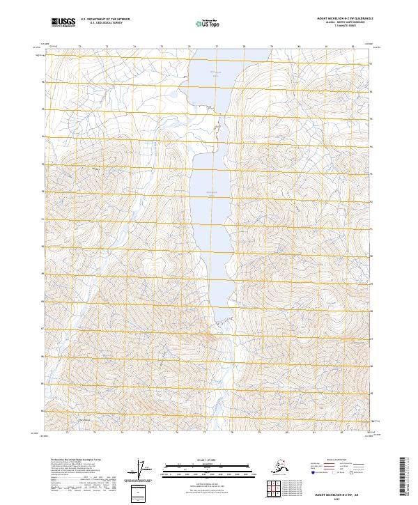
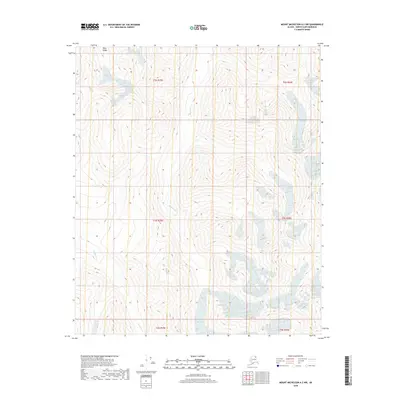
2023 Map of Mount Michelson B-2 SW
USGS Topo · Published 2023About this map
Neruckpuk Lakes dominates the central corridor of this North Slope landscape, situated within the protected boundaries of the Arctic National Wildlife Refuge. The map provides a contemporary record of high-latitude glacial and hydraulic features, including the Chamberlin Glacier and the headwaters of the Carnivore Creek. To the west, the Mollie Beattie Wilderness preserves the drainages of Spawning Creek and Whistler Creek.
Find a feature on this map
18 named features on this map. Tap any name to fly to it.
Don’t see what you’re looking for? This feature index may not catch every label — zoom into the map to look around manually.
Map Details
Editions of this 2023 Mount Michelson B-2 SW Map
This is the sole edition of this map. No revisions or reprints were ever made.
Other maps of this area

1951 · Mt. Michelson
USGS Topo · 1:250,000

1956 · Mt. Michelson
USGS Topo · 1:250,000

1956 · Mount Michelson B-2
USGS Topo · 1:63,360

1956 · Mount Michelson B-3
USGS Topo · 1:63,360

1983 · Mount Michelson A-3
USGS Topo · 1:63,360

1983 · Mount Michelson A-2
USGS Topo · 1:63,360
2018 · Mount Michelson B-2 SE
USGS Topo · 1:25,000
2018 · Mount Michelson B-2 SW
USGS Topo · 1:25,000
2018 · Mount Michelson B-2 NE
USGS Topo · 1:25,000
2018 · Mount Michelson A-2 NW
USGS Topo · 1:25,000