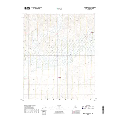
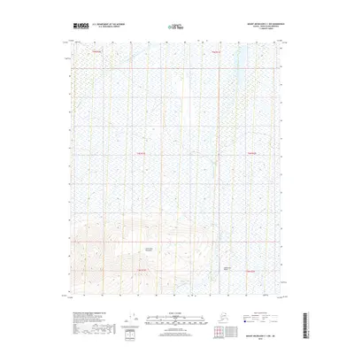
2018 Map of Mount Michelson C-2 SE
USGS Topo · Published 2018About this map
Sadlerochit Valley dominates this 2018 topographic survey in the North Slope Borough, where the braided channels of the Sadlerochit River carve through a landscape shaped by glacial activity and permafrost. The terrain is defined by dramatic elevation changes, notably at Sunset Pass, which provides a natural break between the high ridges of the Brooks Range foothills. Waterways like Itkilyariak Cr and Camp 263 Cr drain the northern slopes, while the Kekiktuk River flows through the southern portion of the quadrangle. This area represents the remote, roadless wilderness typical of Alaska's northern frontier, where mapping is essential for geological study and wilderness navigation far from established settlements.
Find a feature on this map
12 named features on this map. Tap any name to fly to it.
Don’t see what you’re looking for? This feature index may not catch every label — zoom into the map to look around manually.
Map Details
Editions of this 2018 Mount Michelson C-2 SE Map
This is the sole edition of this map. No revisions or reprints were ever made.
Other maps of this area

1951 · Mt. Michelson
USGS Topo · 1:250,000

1955 · Mount Michelson B-1
USGS Topo · 1:63,360

1955 · Mount Michelson C-1
USGS Topo · 1:63,360

1955 · Mount Michelson C-2
USGS Topo · 1:63,360

1956 · Mt. Michelson
USGS Topo · 1:250,000

1956 · Mount Michelson B-2
USGS Topo · 1:63,360
2018 · Mount Michelson C-2 NW
USGS Topo · 1:25,000
2018 · Mount Michelson C-2 SW
USGS Topo · 1:25,000
2018 · Mount Michelson B-2 NE
USGS Topo · 1:25,000
2018 · Mount Michelson C-1 NW
USGS Topo · 1:25,000