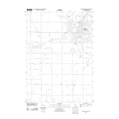
2011 Map of Mount Pleasant
USGS Topo · Published 2011About this map
Central Michigan University stands at the center of this Isabella County landscape, anchoring the southern reach of Mount Pleasant near the winding course of the Chippewa River. The map documents a blend of academic infrastructure, residential expansion, and rural continuity. To the north, Mission Creek flows toward the Riverside Cemetery, while the western terrain is marked by smaller water bodies like McLaughan Lake and Peas Lake.
Find a feature on this map
81 named features on this map. Tap any name to fly to it.
Don’t see what you’re looking for? This feature index may not catch every label — zoom into the map to look around manually.
Map Details
Editions of this 2011 Mount Pleasant Map
This is the sole edition of this map. No revisions or reprints were ever made.
Other maps of this area

1916 · Mount Pleasant
USGS Topo · 1:62,500

1919 · Mount Pleasant
USGS Topo · 1:62,500

1930 · Shepherd
USGS Topo · 1:48,000

1935 · Alma
USGS Topo · 1:62,500

1936 · Shepherd
USGS Topo · 1:62,500

1938 · Alma
USGS Topo · 1:62,500

1943 · Mount Pleasant
USGS Topo · 1:62,500

1954 · Midland
USGS Topo · 1:250,000

1958 · Midland
USGS Topo · 1:250,000

1959 · Midland
USGS Topo · 1:250,000