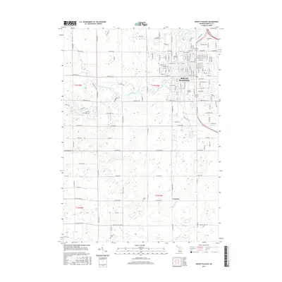
2017 Map of Mount Pleasant
USGS Topo · Published 2017About this map
Mount Pleasant dominates the northeastern landscape of this Isabella County study, anchored by the expansive campus of Central Michigan University. The city's growth is traced through its traditional street grid, which transitions into residential developments and an industrial corridor near Industrial Drive. Outside the urban center, the land is marked by a network of drainage features like Wyant Drain and Figg Drain, supporting the agricultural character of the surrounding townships.
Find a feature on this map
78 named features on this map. Tap any name to fly to it.
Don’t see what you’re looking for? This feature index may not catch every label — zoom into the map to look around manually.
Map Details
Editions of this 2017 Mount Pleasant Map
This is the sole edition of this map. No revisions or reprints were ever made.
Other maps of this area

1916 · Mount Pleasant
USGS Topo · 1:62,500

1919 · Mount Pleasant
USGS Topo · 1:62,500

1930 · Shepherd
USGS Topo · 1:48,000

1935 · Alma
USGS Topo · 1:62,500

1936 · Shepherd
USGS Topo · 1:62,500

1938 · Alma
USGS Topo · 1:62,500

1943 · Mount Pleasant
USGS Topo · 1:62,500

1954 · Midland
USGS Topo · 1:250,000

1958 · Midland
USGS Topo · 1:250,000

1959 · Midland
USGS Topo · 1:250,000