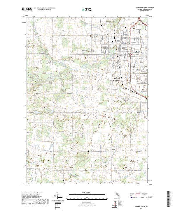
2023 Map of Mount Pleasant
USGS Topo · Published 2023About this map
The Central Michigan University campus and the surrounding city of Mount Pleasant anchor this modern topographical study of Isabella County. The landscape is defined by the winding course of the Chippewa River and its North Branch, which snake through a grid of established roads including W Remus Rd and N Mission St. To the south, the smaller settlement of Crawford sits near the intersection of several local drainages like Wyant Drain and Salt Creek.
Find a feature on this map
73 named features on this map. Tap any name to fly to it.
Don’t see what you’re looking for? This feature index may not catch every label — zoom into the map to look around manually.
Map Details
Editions of this 2023 Mount Pleasant Map
This is the sole edition of this map. No revisions or reprints were ever made.
Other maps of this area

1916 · Mount Pleasant
USGS Topo · 1:62,500

1919 · Mount Pleasant
USGS Topo · 1:62,500

1930 · Shepherd
USGS Topo · 1:48,000

1935 · Alma
USGS Topo · 1:62,500

1936 · Shepherd
USGS Topo · 1:62,500

1938 · Alma
USGS Topo · 1:62,500

1943 · Mount Pleasant
USGS Topo · 1:62,500

1954 · Midland
USGS Topo · 1:250,000

1958 · Midland
USGS Topo · 1:250,000

1959 · Midland
USGS Topo · 1:250,000
Featured Places
- Mount Pleasant, MI
- Deerfield Township, MI
- Fremont Township, MI
- Union Charter Township, MI
- Lincoln Township, MI