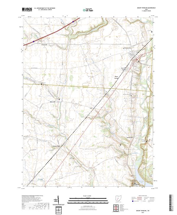
2023 Map of Mount Sterling
USGS Topo · Published 2023About this map
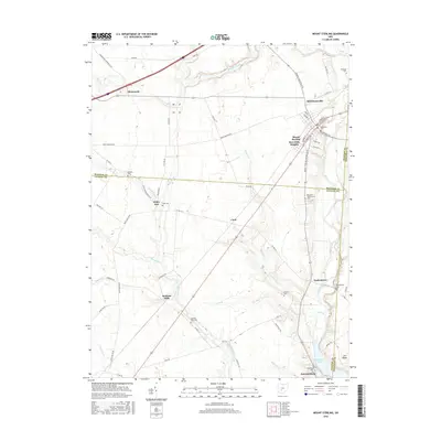
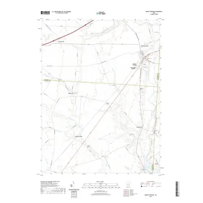
Mount Sterling serves as the primary hub in this agricultural landscape where the borders of Madison, Fayette, and Pickaway counties meet. The area is defined by a dense network of water management features like Galbreath Ditch and Bragg Ditch, reflecting the intensive land use required for farming these plains. Smaller rural communities and crossroads such as Madison Mills, Chenoweth, and Pancoastburg are connected by a web of local routes including London-Circleville Rd and the Mount Sterling-Waterloo Rd.
Find a feature on this map
69 named features on this map. Tap any name to fly to it.
Don’t see what you’re looking for? This feature index may not catch every label — zoom into the map to look around manually.
Map Details
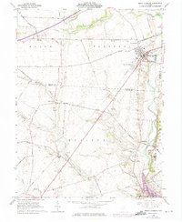
Editions of this 2023 Mount Sterling Map
This is the sole edition of this map. No revisions or reprints were ever made.
Historical Maps of Mount Sterling Through Time
6 maps found
Featured Locations
- Darby Township, OH
- Monroe Township, OH
- Perry Township, OH
- Range Township, OH
- Mount Sterling, Pleasant Township