Loading...
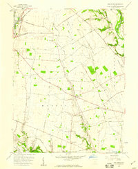
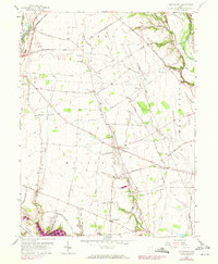
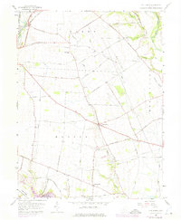
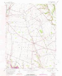
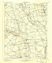
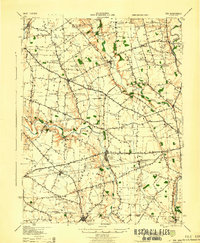
Loading map...1958 Map of Five Points
USGS Topo · Published 1959About this map
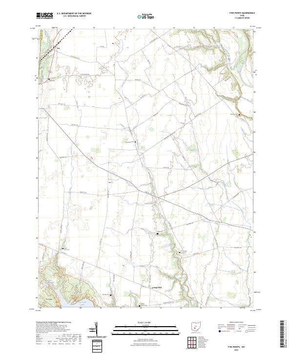
Five Points serves as a central junction for rural Pickaway County, where a network of family-named roads like Adkins Road and Whiteside-Lister Mill Road crisscross the agricultural landscape. The northwestern corner of the sheet highlights the settlement of Era, situated along the Baltimore and Ohio railroad and the 37th Division Memorial Highway. This 1958 survey captures a community deeply rooted in its local history, with small rural centers of worship and remembrance such as Greenland Ch, Hebron Ch, and the Pleasant Cem.
Find a feature on this map
50 named features on this map. Tap any name to fly to it.
Don’t see what you’re looking for? This feature index may not catch every label — zoom into the map to look around manually.
Map Details
Date Portrayed1958
Date Published1959
PublisherU.S. Geological Survey
Map TypeTopographic
Scale1:24,000
Physical Dimensions22 x 26.9 inches
Editions of this 1958 Five Points Map
4 editions found
Historical Maps of Five Points Through Time
9 maps found

Featured Locations
- Darby Township, OH
- Monroe Township, OH
- Perry Township, OH
- Pleasant Township, OH
- Five Points, Monroe Township
Source Details
SourceU.S. Geological Survey
CopyrightPublic Domain