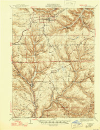
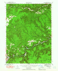
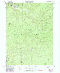
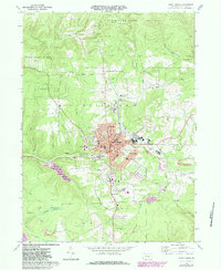
1940 Map of Mt. Jewett
USGS Topo · Published 1946About this map
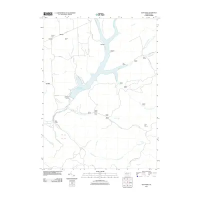
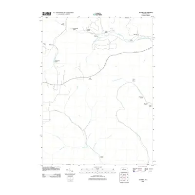
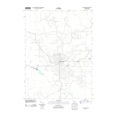
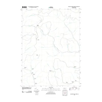
Allegheny National Forest encompasses the western half of this landscape, where the headwaters of the Clarion River and Kinzua Creek carve through the high plateau. The map captures a critical rail crossroads at Mt Jewett, where the Baltimore and Ohio RR, Erie RR, and Pittsburgh and Shawmut RR converge. This density of infrastructure reflects the region's industrial reliance on timber and natural gas, evidenced by remote outposts like Burning Well and the industrial activity near Johnsonburg.
Find a feature on this map
96 named features on this map. Tap any name to fly to it.
Don’t see what you’re looking for? This feature index may not catch every label — zoom into the map to look around manually.
Map Details
Editions of this 1940 Mt. Jewett Map
3 editions found

Historical Maps of Saint Marys Through Time
67 maps found
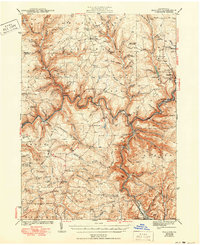
1935 Mt. Jewett
Elk County, PA
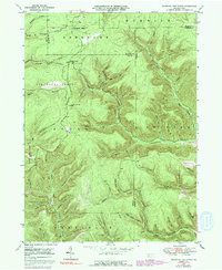
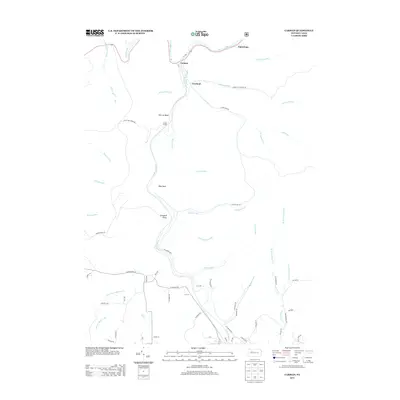
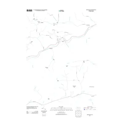
1940 Hallton
Elk County, PA
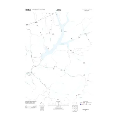
1940 Mt. Jewett
Elk County, PA
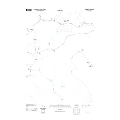
1941 Benezette
Elk County, PA

1943 Benezette
Elk County, PA
1943 Hallton
Elk County, PA
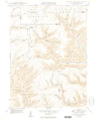
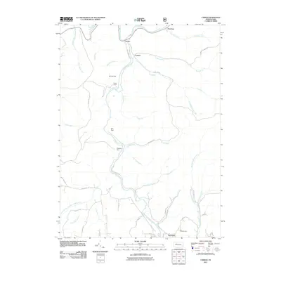
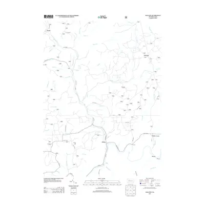
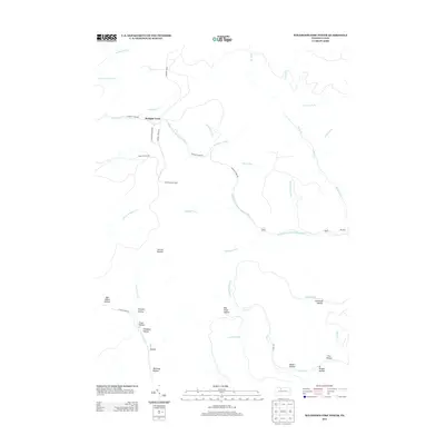
1948 Wildwood Fire Tower
Elk County, PA
1950 Wildwood Fire Tower
Elk County, PA
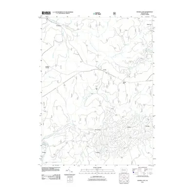
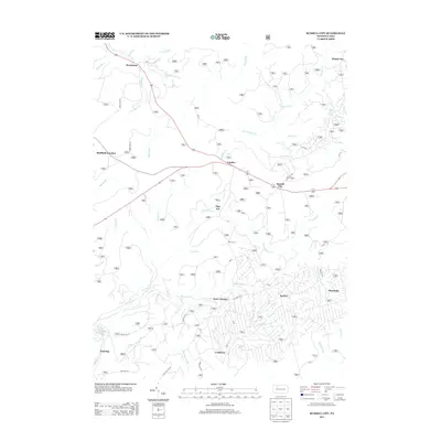
1966 Russell City
Elk County, PA
1969 Dents Run
Elk County, PA

1969 Glen Hazel
Elk County, PA
1969 Hallton
Elk County, PA

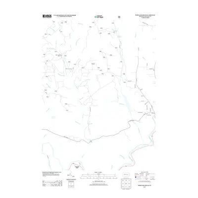
1969 Portland Mills
Elk County, PA
1969 Rathbun
Elk County, PA
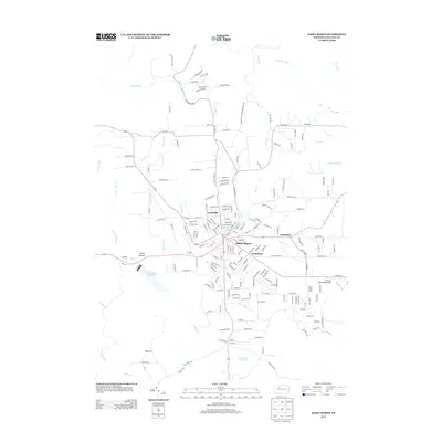
1969 Saint Marys
Elk County, PA
1970 Brandy Camp
Elk County, PA
1970 Carman
Elk County, PA

2010 Brandy Camp
Elk County, PA
2010 Dents Run
Elk County, PA
2010 Glen Hazel
Elk County, PA
2010 Rathbun
Elk County, PA
2010 Saint Marys
Elk County, PA
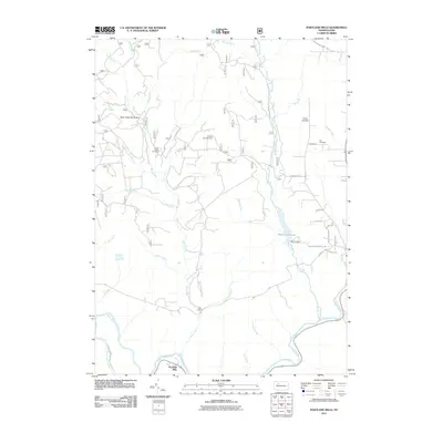
2010 Wildwood Fire Tower
Elk County, PA
2011 Carman
Elk County, PA

2011 Hallton
Elk County, PA
2011 Portland Mills
Elk County, PA
2011 Russell City
Elk County, PA

2013 Brandy Camp
Elk County, PA
2013 Carman
Elk County, PA
2013 Dents Run
Elk County, PA
2013 Glen Hazel
Elk County, PA
2013 Hallton
Elk County, PA
2013 Portland Mills
Elk County, PA
2013 Rathbun
Elk County, PA
2013 Russell City
Elk County, PA
2013 Saint Marys
Elk County, PA
2013 Wildwood Fire Tower
Elk County, PA
2016 Brandy Camp
Elk County, PA
2016 Carman
Elk County, PA
2016 Dents Run
Elk County, PA

2016 Glen Hazel
Elk County, PA
2016 Hallton
Elk County, PA
2016 Portland Mills
Elk County, PA
2016 Rathbun
Elk County, PA
2016 Russell City
Elk County, PA
2016 Saint Marys
Elk County, PA
2016 Wildwood Fire Tower
Elk County, PA

2019 Brandy Camp
Elk County, PA
2019 Carman
Elk County, PA
2019 Dents Run
Elk County, PA
2019 Glen Hazel
Elk County, PA
2019 Hallton
Elk County, PA
2019 Portland Mills
Elk County, PA
2019 Rathbun
Elk County, PA
2019 Russell City
Elk County, PA
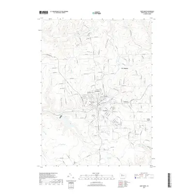
2019 Saint Marys
Elk County, PA
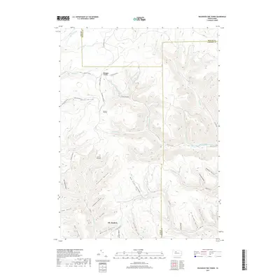
2019 Wildwood Fire Tower
Elk County, PA

2023 Brandy Camp
Elk County, PA

2023 Carman
Elk County, PA
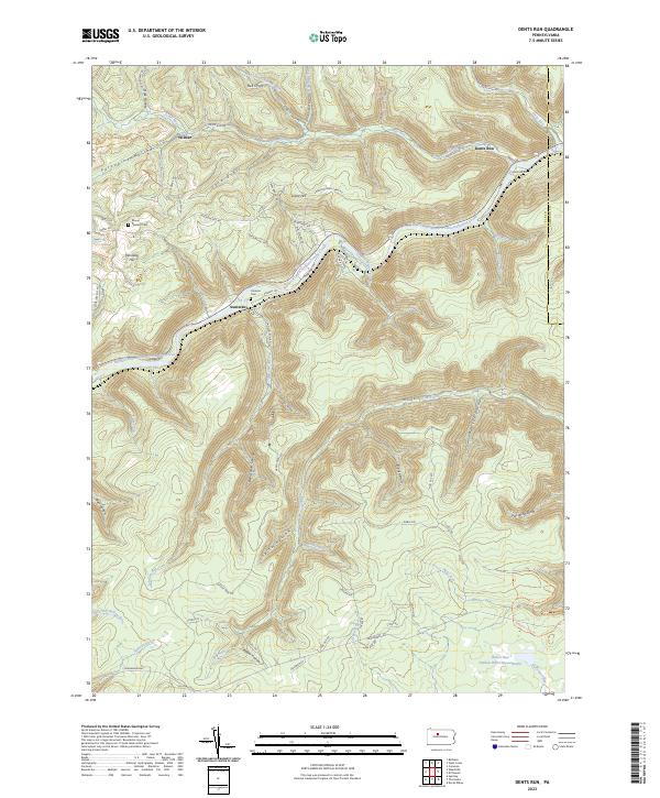
2023 Dents Run
Elk County, PA
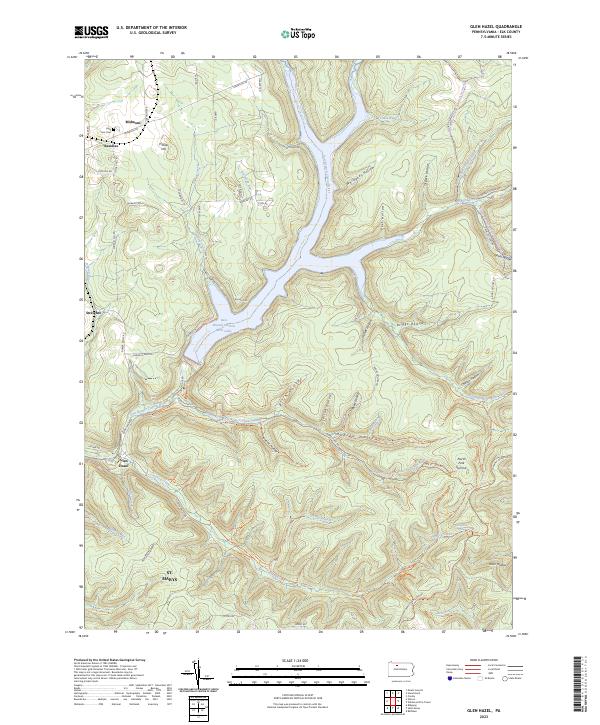
2023 Glen Hazel
Elk County, PA

2023 Hallton
Elk County, PA
2023 Portland Mills
Elk County, PA

2023 Rathbun
Elk County, PA

2023 Russell City
Elk County, PA

2023 Saint Marys
Elk County, PA

2023 Wildwood Fire Tower
Elk County, PA
Featured Locations
- Saint Marys, PA
- Mount Jewett, PA
- Tambine, Jones Township
- Wilcox, Jones Township
- Cartwrights Crossing, Wetmore Township