
1951 Map of Mt Katmai
USGS Topo · Published 1952About this map
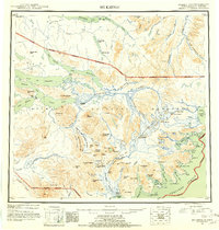
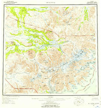
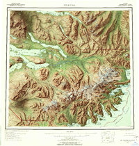
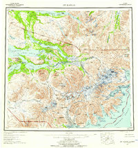
The massive volcanic and glacial landscapes of the Alaska Peninsula are meticulously charted here, reflecting the post-war efforts to survey the Katmai region using trimetrogon photography. The map highlights the volatile nature of the terrain, centered on the Novarupta Volcano and the crater of Mt Katmai, alongside active geothermal features like the Hot Springs near Mt Mageik.
Find a feature on this map
89 named features on this map. Tap any name to fly to it.
Don’t see what you’re looking for? This feature index may not catch every label — zoom into the map to look around manually.
Map Details
Editions of this 1951 Mt Katmai Map
11 editions found
1952 edition
21.4 x 22 inches
1952 edition
21.1 x 22.2 inches
1957 edition
20.6 x 21.9 inches
1957 edition
21.1 x 22.1 inches
1959 edition
20.8 x 22.2 inches
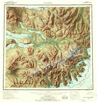
1959 edition
21.1 x 22.1 inches
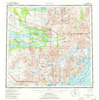
1977 edition
22.2 x 22.4 inches
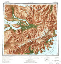
1977 edition
21.3 x 22.5 inches
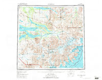
1984 edition
29.4 x 23.1 inches
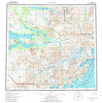
1984 edition
21.8 x 22.2 inches
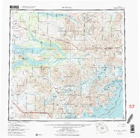
1984 edition
23.28 x 22.93 inches
Other maps of this area

1943 · Ugashik
USGS Topo · 1:250,000

1948 · Mt Katmai
USGS Topo · 1:250,000

1948 · Ugashik
USGS Topo · 1:250,000

1949 · Ugashik
USGS Topo · 1:250,000

1951 · Dillingham
USGS Topo · 1:250,000

1951 · Karluk
USGS Topo · 1:250,000

1951 · Mount Katmai A-3
USGS Topo · 1:63,360

1951 · Afognak C-6
USGS Topo · 1:63,360

1951 · Iliamna A-5
USGS Topo · 1:63,360

1951 · Iliamna A-4
USGS Topo · 1:63,360