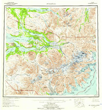
1951 Map of Mt Katmai
USGS Topo · Published 1959About this map
Mt Katmai and the surrounding volcanic landscape dominate this 1951 survey, capturing a region profoundly altered by the 1912 eruption. The map delineates the Valley of Ten Thousand Smokes, showing the drainage of Knife Creek and the Lethe River through the ash-filled basin. Landmarks of the eruptive event, such as Novarupta, Broken Mtn, and Baked Mtn, are situated near the caldera of Crater Lake.
Find a feature on this map
105 named features on this map. Tap any name to fly to it.
Don’t see what you’re looking for? This feature index may not catch every label — zoom into the map to look around manually.
Map Details
Editions of this 1951 Mt Katmai Map
11 editions found

1952 edition
21.4 x 22 inches
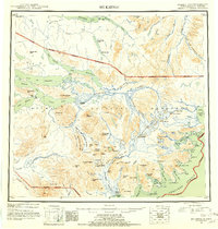
1952 edition
21.1 x 22.2 inches
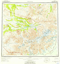
1957 edition
20.6 x 21.9 inches
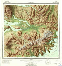
1957 edition
21.1 x 22.1 inches
1959 edition
20.8 x 22.2 inches
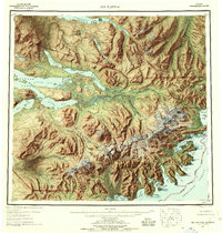
1959 edition
21.1 x 22.1 inches
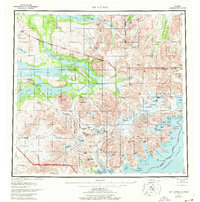
1977 edition
22.2 x 22.4 inches
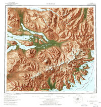
1977 edition
21.3 x 22.5 inches
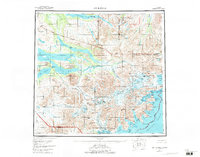
1984 edition
29.4 x 23.1 inches
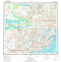
1984 edition
21.8 x 22.2 inches
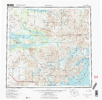
1984 edition
23.28 x 22.93 inches
Other maps of this area

1943 · Ugashik
USGS Topo · 1:250,000

1948 · Mt Katmai
USGS Topo · 1:250,000

1948 · Ugashik
USGS Topo · 1:250,000

1949 · Ugashik
USGS Topo · 1:250,000

1951 · Dillingham
USGS Topo · 1:250,000
1951 · Mt Katmai
USGS Topo · 1:250,000

1951 · Karluk
USGS Topo · 1:250,000

1951 · Mount Katmai A-3
USGS Topo · 1:63,360

1951 · Afognak C-6
USGS Topo · 1:63,360

1951 · Iliamna A-5
USGS Topo · 1:63,360