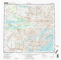
1951 Map of Mt. Katmai
USGS Topo · Published 1984About this map
The volcanic core of the Walatka Mountains dominates this mid-century survey, centered on the dramatic caldera of Mt Katmai and the surrounding valley. In the decades following the 1912 eruption, this landscape was defined by its geological activity and emerging wilderness tourism. Evidence of this era is seen at Brooks Camp and the Kulik Lodge, where a Seaplane Base and remote landing areas provided rare access points. The complex drainage systems of the Savonoski River and Katmai River link the massive inland bodies of Naknek Lake and Lake Grosvenor to the Pacific coast. Along the Shelikof Strait, the map details a jagged coastline of deep inlets like Amalik Bay and the storied Geographic Harbor, while the interior remains a labyrinth of peaks including Trident Volcano and the Devils Desk.
Find a feature on this map
127 named features on this map. Tap any name to fly to it.
Don’t see what you’re looking for? This feature index may not catch every label — zoom into the map to look around manually.
Map Details
Editions of this 1951 Mt. Katmai Map
11 editions found

1952 edition
21.4 x 22 inches
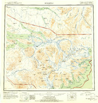
1952 edition
21.1 x 22.2 inches
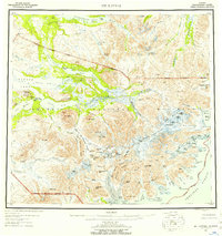
1957 edition
20.6 x 21.9 inches
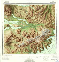
1957 edition
21.1 x 22.1 inches
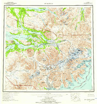
1959 edition
20.8 x 22.2 inches
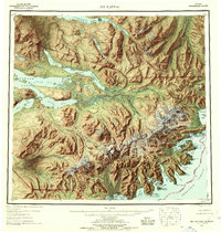
1959 edition
21.1 x 22.1 inches
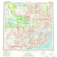
1977 edition
22.2 x 22.4 inches
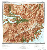
1977 edition
21.3 x 22.5 inches
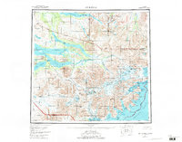
1984 edition
29.4 x 23.1 inches
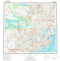
1984 edition
21.8 x 22.2 inches
1984 edition
23.28 x 22.93 inches
Other maps of this area

1943 · Ugashik
USGS Topo · 1:250,000

1948 · Mt Katmai
USGS Topo · 1:250,000

1948 · Ugashik
USGS Topo · 1:250,000

1949 · Ugashik
USGS Topo · 1:250,000

1951 · Dillingham
USGS Topo · 1:250,000
1951 · Mt Katmai
USGS Topo · 1:250,000

1951 · Karluk
USGS Topo · 1:250,000

1951 · Mount Katmai A-3
USGS Topo · 1:63,360

1951 · Afognak C-6
USGS Topo · 1:63,360

1951 · Iliamna A-5
USGS Topo · 1:63,360