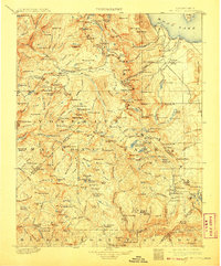
1901 Map of Mt. Lyell
USGS Topo · Published 1908About this map
Mt. Lyell stands as the central pivot of this high-altitude survey, which documents the complex alpine geography of the Central Sierra Nevada shortly after the turn of the century. The map illustrates a transitional period for land management, showing the early boundaries of Yosemite National Park and the surrounding Sierra Forest Reserve. The drainage patterns of the Merced River and the San Joaquin River are clearly delineated, tracing the flow from glacial lakes and snow-fed peaks like Ritter Mt. and Banner Peak. Infrastructure in this wilderness is minimal, noted by high-country landmarks such as Miller Bridge and Granite Cr. Bridge. This 1898-99 field survey captures the region before the modern development of park access, emphasizing the natural crests and named points like Cathedral Peak and Vogelsang Peak that would eventually become iconic stops for backcountry explorers and geologists alike.
Find a feature on this map
194 named features on this map. Tap any name to fly to it.
Don’t see what you’re looking for? This feature index may not catch every label — zoom into the map to look around manually.
Map Details
Editions of this 1901 Mt. Lyell Map
12 editions found

1901 edition
16.5 x 19.9 inches
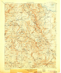
1905 edition
16.6 x 19.8 inches
1908 edition
16.5 x 20 inches
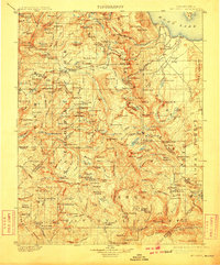
1910 edition
16.5 x 19.9 inches
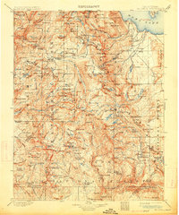
1914 edition
16.5 x 19.8 inches
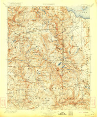
1922 edition
16.5 x 19.8 inches
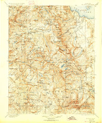
1927 edition
16.5 x 19.9 inches
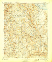
1929 edition
16.5 x 19.9 inches
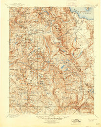
1944 edition
16.6 x 20.7 inches
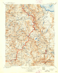
1948 edition
16.6 x 20.7 inches
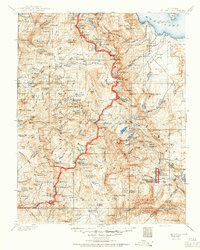
1950 edition
16.6 x 20.7 inches
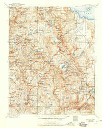
1950 edition
16.5 x 20.8 inches
Other maps of this area

1896 · Dardanelles
USGS Topo · 1:125,000

1897 · Yosemite
USGS Topo · 1:125,000

1898 · Dardanelles
USGS Topo · 1:125,000

1900 · Yosemite
USGS Topo · 1:125,000
1901 · Mt. Lyell
USGS Topo · 1:125,000

1903 · Yosemite
USGS Topo · 1:125,000

1904 · Kaiser
USGS Topo · 1:125,000

1909 · Yosemite
USGS Topo · 1:125,000

1909 · Hawthorne
USGS Topo · 1:250,000

1909 · Bridgeport
USGS Topo · 1:125,000