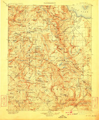
1901 Map of Mt. Lyell
USGS Topo · Published 1910About this map
Yosemite National Park and the adjacent Sierra Forest Reserve are documented here just after the turn of the century, revealing the high-elevation terrain of the central Sierra Nevada. The map captures the dramatic hydrology of the Tuolumne River watershed, featuring a series of major cascades including Waterwheel Falls, Le Conte Falls, and California Falls. To the east, the volcanic landscape of the Mono Craters and Pumice Valley contrasts with the glaciated granite peaks. This 1901 survey, updated in 1910, traces the early administrative boundaries between Tuolumne, Mariposa, Mono, Madera, and Fresno counties. Rare early infrastructure is noted by mountain crossings such as Miller Bridge and Granite Cr. Bridge, which served travelers and foresters before the era of modern highway development. The inclusion of the Mt. Diablo Base Line highlights the fundamental surveying work that underpinned Western land claims and park management.
Find a feature on this map
228 named features on this map. Tap any name to fly to it.
Don’t see what you’re looking for? This feature index may not catch every label — zoom into the map to look around manually.
Map Details
Editions of this 1901 Mt. Lyell Map
12 editions found

1901 edition
16.5 x 19.9 inches
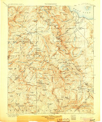
1905 edition
16.6 x 19.8 inches
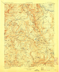
1908 edition
16.5 x 20 inches
1910 edition
16.5 x 19.9 inches
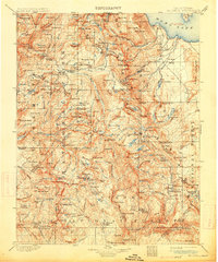
1914 edition
16.5 x 19.8 inches
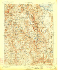
1922 edition
16.5 x 19.8 inches
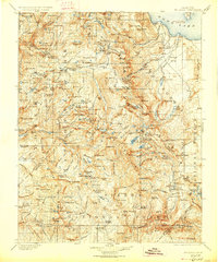
1927 edition
16.5 x 19.9 inches
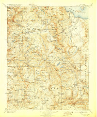
1929 edition
16.5 x 19.9 inches
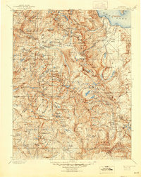
1944 edition
16.6 x 20.7 inches
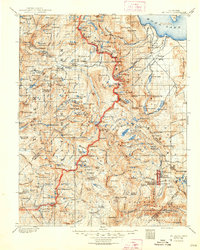
1948 edition
16.6 x 20.7 inches
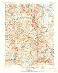
1950 edition
16.6 x 20.7 inches
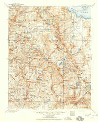
1950 edition
16.5 x 20.8 inches
Other maps of this area

1896 · Dardanelles
USGS Topo · 1:125,000

1897 · Yosemite
USGS Topo · 1:125,000

1898 · Dardanelles
USGS Topo · 1:125,000

1900 · Yosemite
USGS Topo · 1:125,000
1901 · Mt. Lyell
USGS Topo · 1:125,000

1903 · Yosemite
USGS Topo · 1:125,000

1904 · Kaiser
USGS Topo · 1:125,000

1909 · Yosemite
USGS Topo · 1:125,000

1909 · Hawthorne
USGS Topo · 1:250,000

1909 · Bridgeport
USGS Topo · 1:125,000